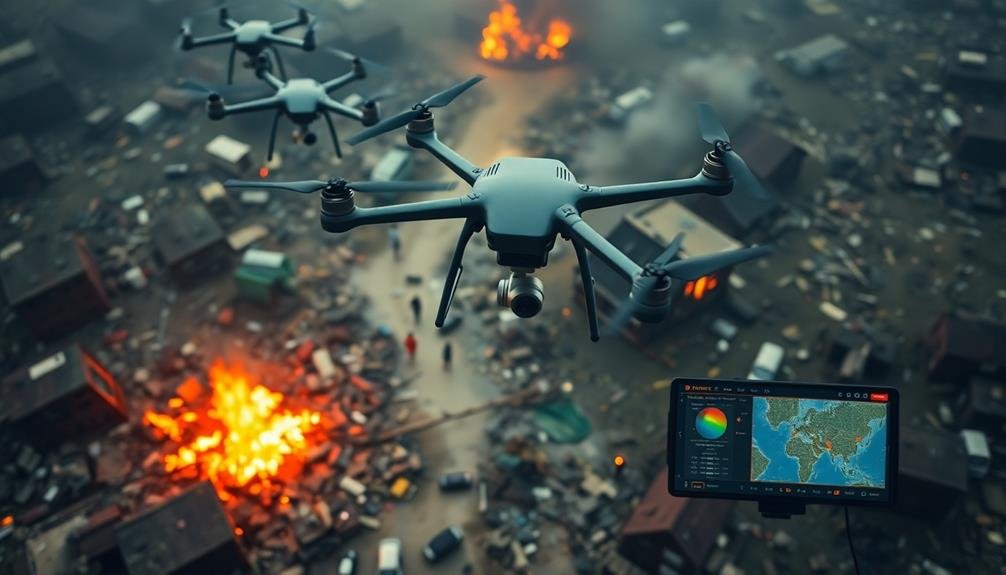
Rapid UAV surveys offer cutting-edge disaster response capabilities, providing real-time information gathering in emergency situations. You'll benefit from quick aerial assessments of affected areas, using high-resolution cameras and thermal imaging to map safe routes, locate survivors, and evaluate structural damage. These drones excel in dangerous or inaccessible locations, transmitting crucial data to command centers instantly. They're cost-effective and resource-efficient compared to traditional methods, covering large areas swiftly and accessing hard-to-reach spots. With on-board data analysis and AI-powered image recognition, UAVs can process information immediately, enhancing decision-making and resource allocation. Discover how this technology is transforming disaster management and saving lives.
UAV Technology for Disaster Response
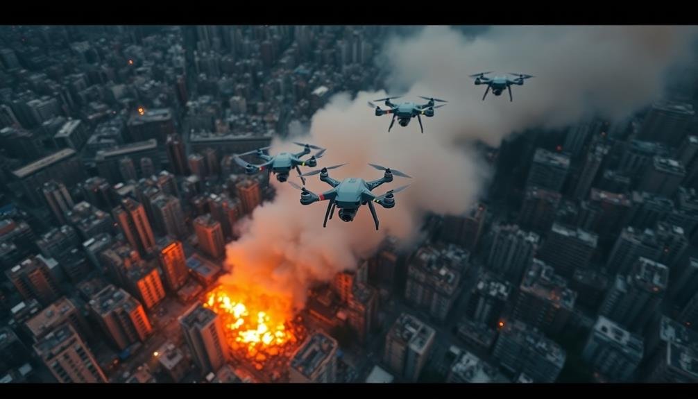
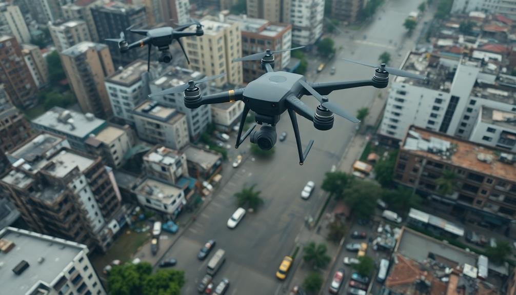
Drones soar into action when disaster strikes. These unmanned aerial vehicles (UAVs) have become invaluable tools in disaster response, offering you a bird's-eye view of affected areas within minutes.
You'll find that modern UAVs are equipped with high-resolution cameras, thermal imaging sensors, and GPS technology, allowing for rapid assessment of damage and identification of survivors.
When you're coordinating disaster relief efforts, UAVs can help you map out safe routes for rescue teams, locate stranded individuals, and assess structural damage to buildings and infrastructure.
They're particularly useful in areas that are too dangerous or inaccessible for ground teams. You'll appreciate their ability to transmit real-time data to command centers, enabling swift decision-making and resource allocation.
UAVs also excel in search and rescue operations. You can deploy them to cover large areas quickly, using their thermal cameras to detect heat signatures of survivors, even in low-visibility conditions.
Additionally, you'll find that drones can deliver essential supplies like food, water, and medical kits to isolated areas, providing vital support until ground teams can reach those in need.
Benefits of Rapid Aerial Surveys
Rapid aerial surveys conducted by UAVs offer a wealth of benefits in disaster response scenarios. You'll find that these surveys provide critical information in real-time, allowing for faster and more effective decision-making. By deploying UAVs, you can quickly assess the extent of damage, identify areas of immediate concern, and prioritize resource allocation.
UAV surveys enable you to:
- Cover large areas in a short time, reducing the need for ground-based teams in potentially dangerous situations
- Access hard-to-reach or inaccessible areas, providing valuable data that would otherwise be unavailable
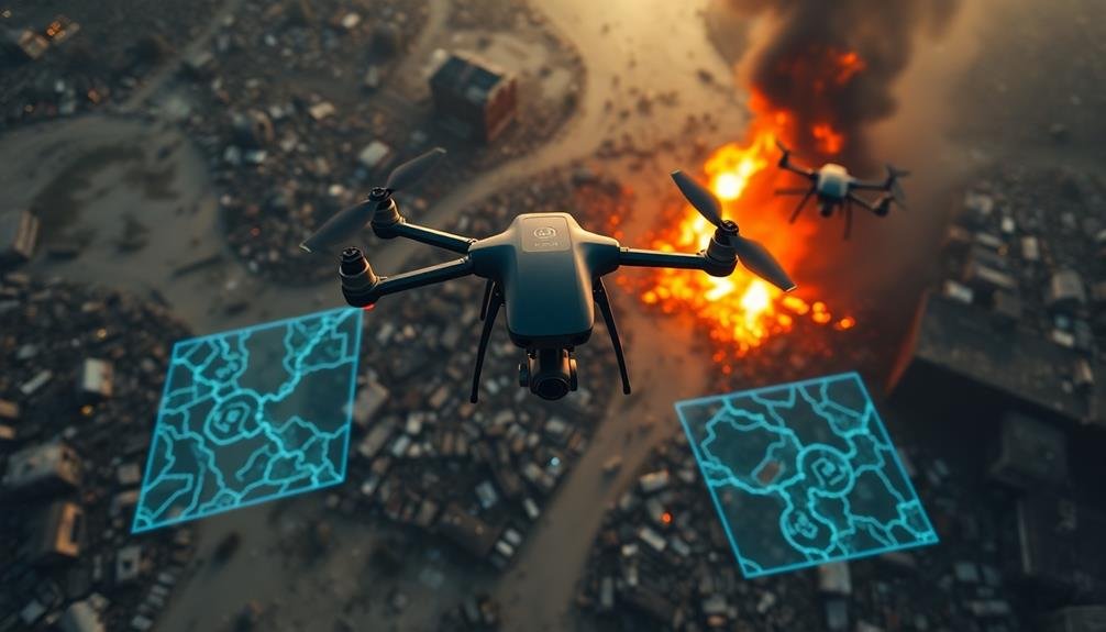
- Create high-resolution maps and 3D models of affected areas, enhancing situational awareness
- Monitor ongoing changes and developments in the disaster zone, allowing for adaptive response strategies
You'll appreciate the cost-effectiveness of UAV surveys compared to traditional methods. They're less resource-intensive and can be deployed rapidly, saving precious time in critical situations.
Additionally, you'll benefit from the ability to collect and analyze data in near real-time, enabling you to make informed decisions quickly. This speed and efficiency can greatly improve your disaster response efforts, potentially saving lives and minimizing damage to infrastructure.
Types of Disasters Suitable
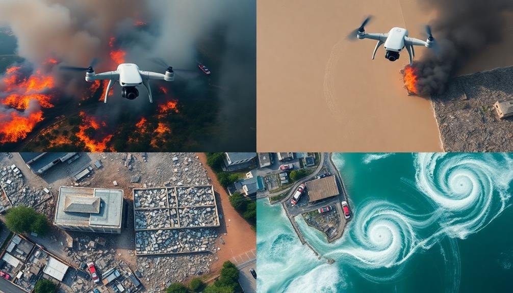
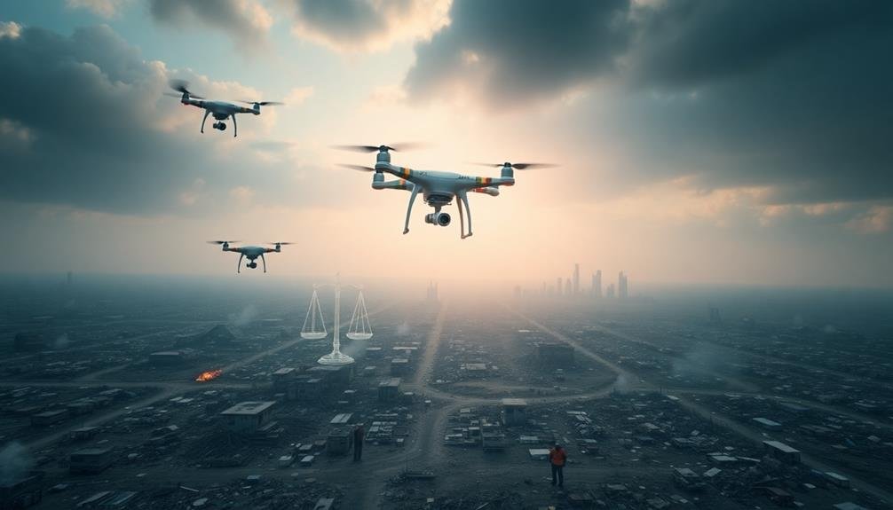
Disaster scenarios come in many forms, and rapid UAV surveys prove invaluable across a wide range of emergencies. You'll find UAVs particularly useful in natural disasters like earthquakes, floods, hurricanes, and wildfires. These events often cause widespread damage and require immediate assessment of affected areas.
In earthquake-stricken regions, UAVs can quickly identify collapsed buildings, blocked roads, and potential landslide risks. During floods, they'll help you map inundated areas, locate stranded individuals, and assess dam integrity.
For hurricanes, UAVs allow you to survey coastal damage, detect power outages, and guide recovery efforts. Wildfires benefit greatly from UAV technology. You can use them to track fire spread, identify hot spots, and plan containment strategies.
In industrial accidents, such as chemical spills or nuclear incidents, UAVs provide safe monitoring without risking human lives. Man-made disasters like terrorist attacks or large-scale accidents also benefit from rapid aerial surveys.
You'll be able to assess structural damage, locate victims, and guide first responders more efficiently. Remember, the key advantage of UAVs in these scenarios is their ability to provide real-time, thorough data without putting additional lives at risk.
Essential UAV Equipment
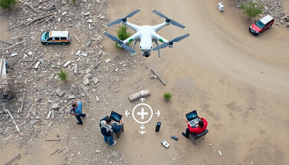
To carry out effective rapid UAV surveys in disaster scenarios, you'll need the right gear. Your primary equipment will be the UAV itself, chosen for its reliability, flight time, and payload capacity.
Opt for a model with obstacle avoidance and GPS capabilities to navigate complex disaster zones safely.
Your camera is vital for data collection. Select a high-resolution camera with various imaging options, including thermal and multispectral, to capture extensive information.
Don't forget spare batteries and a portable charging station to extend your operation time in the field.
A robust ground control station is important for mission planning and real-time data analysis. This typically includes a rugged laptop or tablet with specialized software for flight control and image processing.
To guarantee a successful rapid UAV survey, include these additional items:
- First aid kit and personal protective equipment
- Backup communication devices (satellite phone, two-way radios)
- Portable weather station for monitoring local conditions
- Lightweight, collapsible landing pad for takeoffs and landings in uneven terrain
Data Collection Techniques
You'll find two powerful tools for UAV data collection: multispectral imaging systems and LiDAR mapping technology.
Multispectral imaging captures data across multiple wavelengths, providing detailed information about vegetation health, soil composition, and water quality.
LiDAR, on the other hand, uses laser pulses to create precise 3D maps of terrain and structures, offering unparalleled accuracy in topographic surveying and object detection.
Multispectral Imaging Systems
Multispectral imaging systems frequently serve as the eyes of UAVs during rapid surveys. These advanced sensors capture data across multiple spectral bands, allowing you to gather a wealth of information about the disaster area. You'll be able to detect subtle changes in vegetation, water bodies, and infrastructure that mightn't be visible to the naked eye.
When using multispectral imaging systems for disaster surveys, you'll benefit from:
- Enhanced vegetation analysis: Identify stressed or damaged plants, assess crop health, and detect changes in forest cover.
- Water quality assessment: Detect pollutants, algal blooms, and sediment levels in water bodies.
- Thermal mapping: Identify hot spots, locate survivors, and assess fire damage.
- Infrastructure damage assessment: Detect structural changes, identify areas of collapse, and prioritize rescue efforts.
You'll find that multispectral data can be processed and analyzed quickly, providing real-time insights to decision-makers.
Lidar Mapping Technology
Lidar mapping technology stands as a powerful tool in the arsenal of rapid UAV surveys. It uses laser pulses to measure distances and create detailed 3D maps of disaster-affected areas. You'll find that Lidar can penetrate vegetation and provide accurate terrain data, making it invaluable for evaluating landslides, floods, and structural damage.
When you're deploying Lidar-equipped UAVs, you'll benefit from their ability to collect data quickly and safely in hazardous environments. The technology offers high-resolution imagery and precise measurements, allowing you to identify subtle changes in topography that might indicate ongoing risks.
| Feature | Benefit | Application |
|---|---|---|
| Penetration | Sees through foliage | Forest fire damage assessment |
| Accuracy | Millimeter-level precision | Structural integrity evaluation |
| Speed | Rapid data collection | Time-sensitive disaster response |
You'll appreciate Lidar's versatility in various disaster scenarios. It can help you map flood extents, evaluate earthquake damage, and even detect subtle ground deformations that might precede landslides. By integrating Lidar data with other sensor inputs, you'll create extensive, real-time situational awareness that's vital for effective disaster management and response planning.
Real-Time Information Processing
You'll find real-time information processing revolutionizing rapid UAV surveys through on-board data analysis capabilities.
Cloud-based processing systems allow you to stream and analyze data instantly, enhancing decision-making in the field.
AI-powered image recognition further accelerates the process, enabling you to identify and classify objects or features of interest as the UAV captures imagery.
On-Board Data Analysis
A technological leap in UAV capabilities, on-board data analysis transforms drones from mere flying cameras into intelligent aerial processors. You'll find these advanced UAVs equipped with powerful onboard computers and specialized software, capable of processing vast amounts of data in real-time. This means you're no longer limited by the need to transmit raw data back to a ground station for analysis, greatly reducing response times in disaster scenarios.
On-board data analysis offers several key advantages:
- Immediate threat detection: Drones can identify potential hazards or survivors without delay.
- Adaptive flight patterns: UAVs adjust their routes based on real-time findings.
- Reduced data transmission: Only relevant, processed information is sent to ground teams.
- Enhanced decision-making: Field personnel receive actionable insights faster.
You'll see these smart drones employing machine learning algorithms to recognize patterns, detect anomalies, and prioritize areas of interest. They can quickly assess damage to infrastructure, identify safe routes for emergency responders, and even predict the spread of wildfires or floods.
With on-board data analysis, you're not just collecting information; you're generating vital intelligence that can save lives and resources in the significant early hours of a disaster response.
Cloud-Based Processing Systems
While on-board data analysis offers immediate processing capabilities, cloud-based processing systems take UAV surveys to the next level. These systems allow you to leverage powerful remote servers for complex data analysis, freeing up your UAV's onboard resources. You'll benefit from increased processing power, scalability, and the ability to integrate multiple data sources.
With cloud-based processing, you can automatically upload data from your UAV in real-time. This enables you to process and analyze information as it's collected, providing near-instantaneous insights. You'll have access to advanced algorithms and machine learning models that can quickly identify patterns, anomalies, and critical information within the survey data.
Cloud systems also facilitate collaboration among disaster response teams. You can easily share processed data and analysis results with stakeholders across different locations. This improves coordination and decision-making during rapid response efforts.
Additionally, cloud-based systems offer robust backup and storage solutions, ensuring your valuable survey data is secure and accessible even if your UAV is damaged or lost in the field. By utilizing cloud-based processing systems, you'll greatly enhance the speed and efficiency of your rapid UAV surveys for disaster information gathering.
AI-Powered Image Recognition
As UAV technology advances, AI-powered image recognition has become a game-changer for real-time information processing during rapid surveys. You'll find that these systems can quickly analyze vast amounts of visual data, identifying critical elements and patterns that might be missed by human observers.
This capability allows for faster decision-making and more efficient resource allocation during disaster response operations.
When you're utilizing AI-powered image recognition in UAV surveys, you'll benefit from:
- Automatic detection of damaged infrastructure
- Real-time identification of stranded individuals or groups
- Rapid assessment of flood extent and severity
- Instant recognition of potential hazards, such as fires or landslides
These AI systems can process multiple data streams simultaneously, combining imagery from various sensors to create a thorough picture of the disaster area.
You'll be able to receive instant alerts when the system detects specific objects or conditions of interest, allowing you to focus your attention where it's needed most.
As the technology continues to improve, you'll see increased accuracy and the ability to recognize more complex scenarios, further enhancing the effectiveness of rapid UAV surveys in disaster response efforts.
Challenges in Disaster Zone Operations
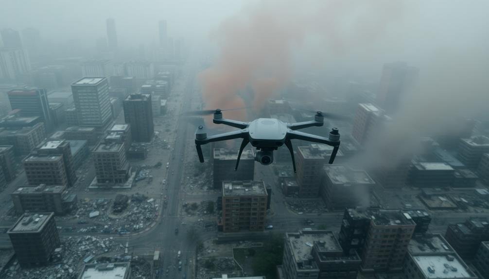
Despite their potential, UAVs face significant hurdles when operating in disaster zones. You'll encounter unpredictable weather conditions, including high winds, heavy rain, or extreme temperatures, which can severely impact flight performance and sensor accuracy.
Debris-filled airspace poses collision risks, while damaged infrastructure limits safe landing zones.
You must navigate complex regulatory environments, as emergency situations often require special clearances for UAV operations. Communication challenges arise from damaged or overwhelmed networks, potentially disrupting your control links and data transmission.
Power limitations restrict flight times, forcing you to carefully plan missions and recharge frequently.
In chaotic post-disaster scenes, you'll struggle with rapidly changing environments that can render pre-existing maps obsolete. Coordinating with ground teams and other aerial vehicles becomes essential to avoid interference and guarantee efficient resource allocation.
You'll also face ethical considerations when capturing sensitive imagery of affected populations.
Electromagnetic interference from emergency equipment may disrupt your UAV's GPS and other systems.
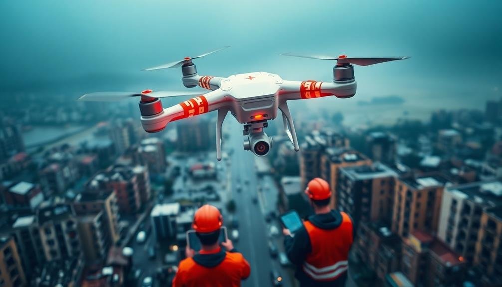
Integrating UAVS With Ground Teams
You'll need to establish seamless coordination between UAVs and ground teams through effective aerial-ground communication channels.
Implement shared data visualization platforms to guarantee real-time information exchange and situational awareness for all involved parties.
Coordinating Aerial-Ground Communication
Seamless communication between UAVs and ground teams is essential for effective rapid surveys. You'll need to establish robust protocols for real-time data sharing and coordination. Use encrypted radio channels or satellite links to guarantee secure and uninterrupted communication.
Implement a centralized command center to manage the flow of information between aerial assets and ground personnel.
To optimize aerial-ground communication:
- Deploy mobile data terminals for ground teams, allowing them to receive live video feeds and sensor data from UAVs.
- Utilize augmented reality displays to overlay UAV-gathered information onto ground team's field of view.
- Implement automated alert systems to notify ground personnel of critical findings or potential hazards detected by UAVs.
- Develop a standardized communication protocol for efficient information exchange between aerial and ground units.
Train your teams in effective radio communication and data interpretation. Conduct regular drills to practice coordinating UAV flights with ground movements.
Ascertain that ground teams can quickly relay specific areas of interest for UAV investigation. By fostering strong aerial-ground communication, you'll maximize the efficiency and effectiveness of your rapid UAV surveys in disaster response scenarios.
Shared Data Visualization Platforms
Effective shared data visualization platforms are essential for integrating UAV surveys with ground team operations. These platforms allow you to seamlessly combine aerial imagery, sensor data, and ground-level information in real-time.
You'll want to choose a system that offers intuitive interfaces, allowing both UAV operators and ground personnel to quickly interpret and act on incoming data. Look for platforms that support multiple data types, including high-resolution images, thermal scans, and 3D terrain models.
They should also incorporate mapping features, enabling you to overlay UAV-collected data onto existing geographic information systems. This integration helps you identify vital areas, track resource movements, and plan effective response strategies.
Ensure your chosen platform offers robust collaboration tools. You'll need features like shared annotations, real-time chat, and the ability to assign tasks based on visualized data.
Mobile compatibility is important, as ground teams will need access to information on-the-go. Don't forget about data security and scalability – your platform should handle large volumes of sensitive information while maintaining strict access controls.
Optimizing Resource Allocation
Integrating UAVs with ground teams can greatly boost your resource allocation efficiency. By combining aerial data with on-the-ground intelligence, you'll create a more thorough picture of the disaster area. This synergy allows you to make informed decisions about where to deploy personnel and equipment, maximizing impact and minimizing wasted efforts.
To optimize resource allocation when integrating UAVs with ground teams:
- Establish clear communication channels between UAV operators and ground personnel.
- Develop a shared data platform for real-time information exchange.
- Train ground teams to interpret and act on UAV-gathered data quickly.
- Create flexible deployment plans that can adapt to changing conditions.
You'll find that this integrated approach enables faster response times and more targeted interventions. UAVs can quickly identify areas of greatest need, guiding ground teams to prioritize their efforts.
They can also monitor ongoing operations, providing valuable feedback on the effectiveness of current resource allocation strategies. By continuously updating your disaster response plan based on this combined aerial and ground-level intelligence, you'll guarantee that your resources are always directed where they're needed most, improving overall disaster management outcomes.
Legal and Ethical Considerations
As rapid UAV surveys gain popularity, operators must navigate a complex landscape of legal and ethical considerations. You'll need to familiarize yourself with local and national regulations governing drone usage, including airspace restrictions, pilot certification requirements, and privacy laws.
Ascertain you obtain necessary permits and adhere to flight limitations to avoid legal repercussions.
Ethical concerns arise when conducting surveys in disaster-stricken areas. You must prioritize the privacy and dignity of affected individuals, avoiding unnecessary intrusion or capture of sensitive information.
Be mindful of cultural sensitivities and respect local customs when operating in diverse communities.
Data protection is vital. You're responsible for securely storing and handling collected information, preventing unauthorized access or misuse.
Implement robust cybersecurity measures to safeguard sensitive data.
Consider the potential impact of your operations on wildlife and the environment. Minimize disturbances to ecosystems and adhere to conservation guidelines when surveying natural areas.
Transparency is key. Clearly communicate your survey objectives to relevant authorities and affected communities.
Be prepared to address concerns and provide information about your data collection methods and intended use of the gathered information.
Future of Disaster Assessment Drones

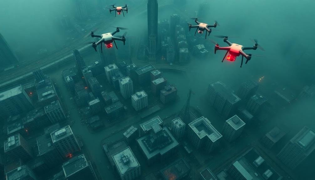
The future of disaster assessment drones holds tremendous potential for revolutionizing emergency response. You'll see these UAVs become more autonomous, capable of making real-time decisions without human input. They'll feature advanced AI algorithms that can quickly analyze complex disaster scenes and prioritize areas needing immediate attention. You can expect drones to work in swarms, coordinating their efforts to cover vast areas efficiently.
As technology progresses, you'll witness:
- Integration of 5G and satellite communications for uninterrupted data streaming
- Improved sensor technology for detecting hazardous materials and trapped survivors
- Enhanced battery life and solar-powered options for extended flight times
- Development of amphibious drones capable of operating in air and water
You'll also see increased collaboration between drones and ground-based robots, creating a thorough disaster response network.
These advancements will lead to faster, more accurate assessments and ultimately save more lives. However, you'll need to address ongoing challenges such as privacy concerns, airspace regulations, and cybersecurity threats.
As disaster assessment drones evolve, they'll become an indispensable tool in emergency management, offering unparalleled speed and precision in gathering critical information during crisis situations.
Frequently Asked Questions
How Long Does It Take to Train UAV Operators for Disaster Response?
You'll find UAV operator training for disaster response varies. It can take anywhere from a few days to several weeks, depending on the complexity of the drone and the specific skills required for your role.
What Are the Costs Associated With Implementing a UAV Disaster Assessment Program?
You'll need to evaluate costs for UAV equipment, training operators, software licenses, and maintenance. Don't forget expenses for insurance, data storage, and potential regulatory compliance. Staffing and operational costs will also impact your budget considerably.
How Do Weather Conditions Affect UAV Performance During Disaster Surveys?
Weather conditions greatly impact your UAV's performance during disaster surveys. You'll face reduced flight time in high winds, limited visibility in fog or rain, and potential equipment damage in extreme temperatures. Always check forecasts before deploying.
Can UAVS Be Used for Search and Rescue Operations in Addition to Assessment?
Yes, you can use UAVs for search and rescue operations. They'll help you locate missing persons, deliver supplies, and access hard-to-reach areas. UAVs equipped with thermal cameras can even detect heat signatures, making nighttime searches more effective.
What Are the Battery Life Limitations for UAVS in Disaster Response Missions?
You'll find UAV battery life typically ranges from 20-60 minutes for consumer models and up to several hours for professional drones. It's essential to plan missions carefully, considering flight time, payload, and environmental factors.
In Summary
You've seen how rapid UAV surveys can revolutionize disaster response. They'll provide real-time data, save lives, and streamline relief efforts. As technology advances, you'll witness even more capable drones and integration with other systems. Remember, while UAVs offer immense benefits, you must navigate legal and ethical concerns. Stay informed about regulations and best practices. By embracing this technology responsibly, you'll be at the forefront of modern disaster management.
As educators and advocates for responsible drone use, we’re committed to sharing our knowledge and expertise with aspiring aerial photographers.


Leave a Reply