Remote sensing has transformed wildlife conservation in seven key ways. You'll find it revolutionizes habitat mapping, allowing for accurate monitoring of ecosystems. It enables efficient population counts and tracking of animals across vast areas. Anti-poaching efforts benefit from advanced surveillance technologies. Disease detection and management improve with thermal imaging and drone observations. Climate change impacts on wildlife are assessed through long-term data analysis. Biodiversity hotspots are more easily identified using satellite imagery. Ultimately, it enhances our understanding of wildlife behavior and migration patterns. These innovations offer conservationists powerful tools to protect and preserve our planet's diverse species. Explore further to uncover the fascinating details of each application.
Habitat Mapping and Monitoring

Remote sensing technology has revolutionized habitat mapping and monitoring, allowing conservationists to keep tabs on vast areas of wildlife habitat with unprecedented accuracy and efficiency.
You'll find that satellite imagery and aerial surveys provide a bird's-eye view of ecosystems, enabling you to track changes in vegetation cover, land use, and water resources over time. These tools help you identify essential habitats, migration corridors, and potential threats to wildlife populations.
By analyzing multispectral and hyperspectral data, you can distinguish between different types of vegetation and assess their health. This information is vital for understanding habitat quality and availability for various species.
You'll also be able to detect early signs of habitat degradation, such as deforestation or urban encroachment, allowing for timely intervention.
Remote sensing techniques like LiDAR (Light Detection and Ranging) provide detailed 3D maps of forest structures, helping you assess canopy cover and understory vegetation. This data is invaluable for studying species that depend on specific forest characteristics.
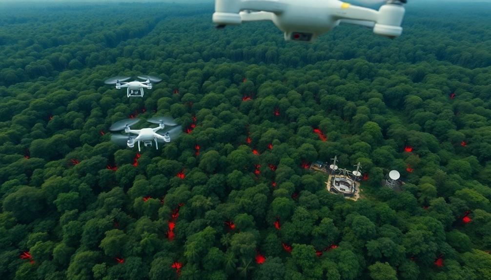
Furthermore, thermal imaging can help you locate water sources and track animal movements, even in dense vegetation or at night.
Population Counts and Tracking

You'll find aerial population surveys to be an essential tool in wildlife conservation efforts.
These surveys allow you to count and estimate animal populations across vast areas quickly and efficiently.
Aerial Population Surveys
Aerial population surveys have revolutionized wildlife conservation efforts by providing a bird's-eye view of animal populations and their movements. You'll find that these surveys use aircraft or drones equipped with high-resolution cameras and thermal imaging technology to capture detailed images of vast areas quickly and efficiently.
With aerial surveys, you can count animals in remote or inaccessible regions, track migration patterns, and identify habitat changes. They're particularly useful for monitoring large herds of animals like elephants, wildebeest, or caribou. You'll also be able to detect poaching activities and illegal logging more easily from the air.
These surveys offer several advantages over traditional ground-based methods. They're less invasive, reducing stress on wildlife populations. They cover larger areas in less time, providing more thorough data. You can also repeat surveys more frequently, allowing for better trend analysis.
However, aerial surveys do have limitations. They're weather-dependent and can be costly. Some species may be difficult to spot from the air, especially in dense vegetation.
Despite these challenges, aerial population surveys remain an essential tool in your wildlife conservation arsenal.
Migration Pattern Tracking
Journeys of countless animals across vast landscapes can now be tracked with unprecedented precision using remote sensing technologies. You'll find that satellite tracking, GPS collars, and radar systems are revolutionizing our understanding of wildlife migration patterns. These tools allow you to monitor animals' movements in real-time, providing valuable data on routes, stopover sites, and timing of migrations.
Remote sensing enables you to track multiple species simultaneously, from birds and butterflies to whales and elephants. You can gather information on habitat use, identify critical corridors, and detect changes in migration patterns due to climate change or human activities. This data helps you make informed conservation decisions and develop targeted protection strategies.
Here's a table showcasing some key remote sensing technologies used in migration pattern tracking:
| Technology | Application | Advantages |
|---|---|---|
| GPS Collars | Large mammals | High accuracy, long-term tracking |
| Satellite Tags | Marine species | Global coverage, real-time data |
| Weather Radar | Flying insects, birds | Large-scale monitoring, cost-effective |
| Acoustic Sensors | Whales, bats | Non-invasive, covers vast areas |
Anti-Poaching Surveillance

In recent years, anti-poaching surveillance has emerged as a critical application of remote sensing technology in wildlife conservation. You'll find that advanced sensors and imaging systems are now being deployed to monitor protected areas and detect illegal activities. These tools provide real-time data to rangers and authorities, allowing them to respond quickly to potential threats.
Thermal cameras and drones equipped with high-resolution cameras are particularly effective in spotting poachers, even in low-light conditions or dense vegetation. You can use these technologies to create a virtual barrier around wildlife sanctuaries, alerting authorities when unauthorized individuals enter restricted areas.
Remote sensing also helps you identify poaching hotspots and predict potential targets by analyzing:
- Animal movement patterns
- Habitat changes
- Human activity in the area
- Historical poaching data
Disease Detection and Management

Remote sensing technologies aren't just useful for catching poachers; they're also powerful tools for detecting and managing wildlife diseases. You can use thermal imaging cameras to identify animals with elevated body temperatures, potentially indicating infection. Drones equipped with high-resolution cameras can spot unusual behavior or physical symptoms in wildlife populations from a safe distance.
Satellite imagery helps you track the spread of diseases across large areas by monitoring changes in vegetation or animal migration patterns. This data allows for early intervention and targeted treatment strategies. You'll find that remote sensing techniques are particularly valuable for studying diseases in hard-to-reach or dangerous locations.
Here's a comparison of remote sensing methods for disease detection:
| Method | Range | Resolution | Best for |
|---|---|---|---|
| Thermal | Short | High | Individual animals |
| Drones | Medium | Medium | Small populations |
| Satellites | Long | Low | Large-scale patterns |
Climate Change Impact Assessment

You'll find remote sensing invaluable in evaluating climate change impacts on wildlife.
It allows you to track habitat shifts, monitor species migration patterns, and conduct ecosystem vulnerability analyses.
These capabilities provide essential data for conservation efforts, helping you understand and respond to the changing environmental conditions affecting wildlife populations.
Habitat Shifts Tracking
As climate change continues to alter ecosystems worldwide, remote sensing technologies have become invaluable tools for tracking habitat shifts in wildlife populations. You can now monitor these changes on a scale that was previously impossible. Satellite imagery and aerial surveys allow you to observe large-scale movements of animals and changes in vegetation patterns over time.
By analyzing multi-temporal remote sensing data, you're able to:
- Detect shifts in species' ranges
- Identify new migration routes
- Map changes in plant communities
- Monitor the spread of invasive species
These insights help you understand how wildlife adapts to changing environments and predict future habitat needs. You can use this information to guide conservation efforts, such as creating wildlife corridors or designating protected areas.
Remote sensing also enables you to track seasonal changes in habitat availability, vital for migratory species. By combining this data with on-the-ground observations and GPS tracking, you'll gain an extensive understanding of how climate change affects wildlife movements and habitat use.
This knowledge is essential for developing effective conservation strategies that account for the dynamic nature of ecosystems in a changing climate.
Species Migration Patterns
While climate change continues to reshape ecosystems globally, remote sensing technologies have become essential for evaluating its impact on species migration patterns. You'll find that satellite imagery, GPS tracking, and radar systems now allow researchers to monitor animal movements across vast landscapes with unprecedented accuracy.
These tools help you identify shifts in migration routes, timing, and destinations. For instance, you can use high-resolution satellite data to track changes in vegetation and water availability along traditional migration corridors. This information lets you predict how climate-driven habitat alterations might affect species' movements.
You'll also benefit from GPS collars and tags, which provide real-time data on individual animals' locations and behaviors. By analyzing this information, you can detect subtle changes in migration patterns that may indicate responses to climate change.
Remote sensing techniques enable you to study hard-to-reach areas, like Arctic regions, where climate impacts are particularly severe. You can monitor sea ice extent, which directly affects the migrations of polar bears and marine mammals.
Ecosystem Vulnerability Analysis
Remote sensing technologies frequently play an essential role in ecosystem vulnerability analysis, particularly when evaluating climate change impacts. You'll find that these tools provide invaluable data on environmental changes over time, allowing researchers to assess the vulnerability of different ecosystems to climate-related threats.
By using satellite imagery and other remote sensing techniques, you can monitor changes in vegetation cover, land use patterns, and water resources. This information helps you identify areas at risk of degradation or loss due to climate change.
You're also able to track shifts in species distributions and habitat fragmentation, which are significant indicators of ecosystem health.
Remote sensing enables you to:
- Detect early warning signs of ecosystem stress
- Map and quantify changes in biodiversity hotspots
- Assess the impact of extreme weather events on habitats
- Monitor the spread of invasive species
With this thorough view of ecosystem dynamics, you're better equipped to develop targeted conservation strategies. You can prioritize areas for protection, plan restoration efforts, and design climate-resilient landscapes.
Biodiversity Hotspot Identification

Earth's biodiversity hotspots are essential areas for conservation efforts, and remote sensing technologies have revolutionized their identification. You'll find that satellite imagery and advanced sensors can now map vast regions with unprecedented detail, revealing areas of high species richness and endemism.
These tools allow you to detect unique vegetation patterns, habitat fragmentation, and landscape features that indicate potential biodiversity hotspots. By analyzing multispectral and hyperspectral data, you can assess plant diversity and health, which often correlates with overall ecosystem biodiversity.
You'll also use LiDAR technology to create 3D models of forest structures, helping you identify areas with complex habitats that support diverse species. Remote sensing enables you to monitor changes in these hotspots over time, tracking deforestation, urbanization, and climate change impacts.
You can combine this data with on-ground surveys and species distribution models to create thorough biodiversity maps. This integration of remote sensing with traditional methods allows for more accurate and efficient identification of critical areas for conservation.
Wildlife Behavior and Migration Studies

Over the past decade, remote sensing technologies have transformed our ability to study wildlife behavior and migration patterns. You'll find that satellite tracking, GPS collars, and aerial surveys now provide unprecedented insights into animal movements across vast landscapes.
These tools allow you to monitor species' ranges, identify essential habitats, and detect changes in migration routes due to climate change or human activities.
Remote sensing data helps you understand:
- Seasonal movement patterns
- Habitat preferences
- Feeding and breeding grounds
- Responses to environmental changes
By combining this information with other data sources, you're able to create thorough models of wildlife behavior. This knowledge is essential for developing effective conservation strategies and managing human-wildlife conflicts.
You can now track elephants crossing international borders, monitor sea turtle nesting sites, or observe the impact of deforestation on bird migrations.
Remote sensing also enables you to study elusive or dangerous species without direct contact, reducing stress on animals and increasing researcher safety.
As technology advances, you'll find that remote sensing continues to revolutionize wildlife behavior and migration studies, providing crucial information for conservation efforts worldwide.
Frequently Asked Questions
How Expensive Is Remote Sensing Technology for Wildlife Conservation?
You'll find remote sensing technology for wildlife conservation varies in cost. It can be expensive, ranging from thousands to millions of dollars, depending on the equipment and scale. However, you'll see prices decreasing as technology advances.
What Are the Ethical Concerns Surrounding Remote Wildlife Monitoring?
You'll face ethical concerns like animal privacy invasion, data misuse, and habitat disruption. You're also dealing with consent issues and potential stress on wildlife. You must consider the balance between conservation benefits and potential harm to animals.
Can Remote Sensing Replace Traditional Field Research Methods Entirely?
You can't entirely replace traditional field research with remote sensing. While it's a powerful tool, you'll still need on-the-ground observations for certain data. It's best to use remote sensing as a complement to field methods.
How Accurate Are Remote Sensing Techniques Compared to On-Ground Observations?
You'll find remote sensing techniques are often quite accurate, but they can't entirely replace on-ground observations. They're great for large-scale data, but you'll still need field work for detailed, close-up information about wildlife behavior and health.
What Skills Are Needed to Interpret Remote Sensing Data for Conservation?
You'll need skills in data analysis, GIS software, and image processing. It's essential to understand ecology and animal behavior. You should also be familiar with statistical methods and have strong problem-solving abilities to interpret remote sensing data effectively.
In Summary
You've seen how remote sensing is transforming wildlife conservation. From mapping habitats to tracking populations and fighting poachers, it's a game-changer. You can now monitor diseases, assess climate impacts, and identify biodiversity hotspots with unprecedented accuracy. It's even helping you understand wildlife behavior and migration patterns. As technology advances, you'll have even more powerful tools to protect and preserve our planet's precious wildlife for future generations.
As educators and advocates for responsible drone use, we’re committed to sharing our knowledge and expertise with aspiring aerial photographers.


Leave a Reply