To fly your drone legally, you must understand restricted airspace zones and follow strict guidelines. Key locations like airports, military bases, and national parks are off-limits without proper authorization. Always check official FAA maps or drone apps for up-to-date information on no-fly areas before takeoff. Familiarize yourself with airspace classes and obtain necessary permissions through the LAANC system. Conduct pre-flight safety checks, including drone condition and weather evaluation. Use tools like B4UFLY for real-time airspace awareness. Violating restrictions can result in hefty fines, criminal charges, and license revocation. Dive deeper to guarantee your drone adventures stay on the right side of the law.
Key Takeaways
- Understand restricted airspace zones, including airports, military bases, and national parks, to avoid illegal drone operations.
- Use official FAA maps or drone apps to identify no-fly areas and stay informed about temporary flight restrictions.
- Familiarize yourself with airspace classes and obtain proper permissions through LAANC or FAA's DroneZone portal when required.
- Conduct pre-flight safety checks, including drone condition, battery status, and local weather conditions.
- Be aware of consequences for airspace violations, including fines up to $27,500 and potential criminal charges.
Understanding Restricted Airspace Zones
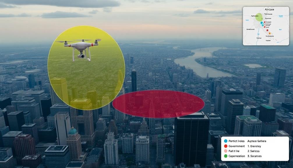
When flying drones, it's important to understand restricted airspace zones. These are areas where drone flight is either prohibited or heavily restricted due to safety concerns or security reasons.
You'll need to be aware of several types of restricted airspace:
- Airports: Don't fly within 5 miles of airports without prior authorization.
- Military bases: These are strictly off-limits for drone operations.
- National parks: Most national parks prohibit drone use to protect wildlife and visitor experience.
- Stadiums and sporting events: Flying drones near large crowds is illegal.
- Emergency situations: Stay clear of areas with ongoing emergency operations.
To identify these zones, use official FAA resources like B4UFLY app or airspace maps.
Remember, restrictions can change based on temporary flight restrictions (TFRs) for events or emergencies. Always check current regulations before each flight.
If you're unsure about an area's status, assume it's restricted and seek clarification.
Violating airspace restrictions can result in hefty fines and legal consequences.
Identifying No-Fly Areas
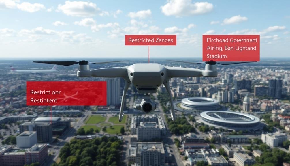
You'll need to familiarize yourself with various restricted airspace categories to safely operate your drone.
These include military installations, airports, national parks, and temporary flight restrictions.
To easily identify no-fly zones in your area, you can consult official FAA maps or use drone-specific apps that provide up-to-date information on restricted areas.
Restricted Airspace Categories
Identifying restricted airspace categories is essential for drone pilots to avoid no-fly zones and operate legally. You'll need to familiarize yourself with various types of restricted airspace to guarantee you're flying safely and within regulations.
These categories are established by aviation authorities to protect sensitive areas, maintain national security, and prevent interference with manned aircraft operations.
To help you understand the main restricted airspace categories, here's a quick reference list:
- Controlled Airspace (Classes A, B, C, D, and E)
- Special Use Airspace (e.g., Prohibited Areas, Restricted Areas, Warning Areas)
- Temporary Flight Restrictions (TFRs)
- National Security Areas (NSAs)
Each category has specific rules and requirements for drone operations. In controlled airspace, you'll often need prior authorization from air traffic control.
Special Use Airspace may be completely off-limits or require special permissions. TFRs are temporary restrictions that can be imposed for various reasons, such as VIP movements or emergency situations.
NSAs are sensitive locations where drone flights are strictly regulated. Always check current airspace restrictions before flying, as they can change frequently.
Use official aviation maps and apps to stay informed and guarantee you're complying with all relevant regulations.
No-Fly Zone Maps
For safe and legal drone operations, no-fly zone maps are indispensable tools. These maps provide vital information about areas where drone flight is prohibited or restricted. You'll find them on various platforms, including official aviation authority websites, drone manufacturer apps, and third-party drone mapping services.
When using no-fly zone maps, you'll typically see color-coded areas indicating different levels of restrictions. Red zones often represent absolute no-fly areas, such as airports, military installations, and critical infrastructure. Yellow or orange zones may indicate areas with partial restrictions or where extra caution is needed.
To effectively use these maps, always check them before each flight. Remember that restrictions can change, so verify you're using up-to-date information. Many drone apps offer real-time updates and can even prevent your drone from taking off in restricted areas.
Pay attention to temporary flight restrictions (TFRs) as well. These aren't always shown on standard no-fly zone maps but can be essential for events, emergencies, or VIP movements.
Airspace Classes for Drone Pilots
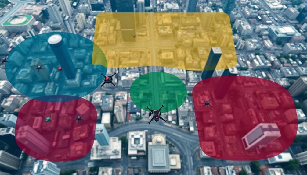
The sky isn't a free-for-all for drone pilots. You need to understand airspace classes to fly safely and legally. The Federal Aviation Administration (FAA) divides airspace into different categories, each with its own rules and restrictions for drone operations.
Class G airspace is typically where recreational drone pilots operate. It's uncontrolled airspace from the ground up to 400 feet in most areas. However, as you get closer to airports or controlled airspace, you'll encounter other classes:
- Class B: Major airports, strictest regulations
- Class C: Medium-sized airports, less restrictive than B
- Class D: Smaller airports with control towers
- Class E: Controlled airspace that doesn't fit other categories
You'll need authorization to fly in controlled airspace (Classes B, C, D, and E). Use the FAA's LAANC system or DroneZone to request permission.
Remember, even in Class G, you're required to follow basic drone rules like keeping your aircraft in sight and avoiding other aircraft.
Always check current regulations and local restrictions before flying. Airspace rules can change, and some areas may have temporary flight restrictions due to events or emergencies.
Obtaining Proper Flight Permissions
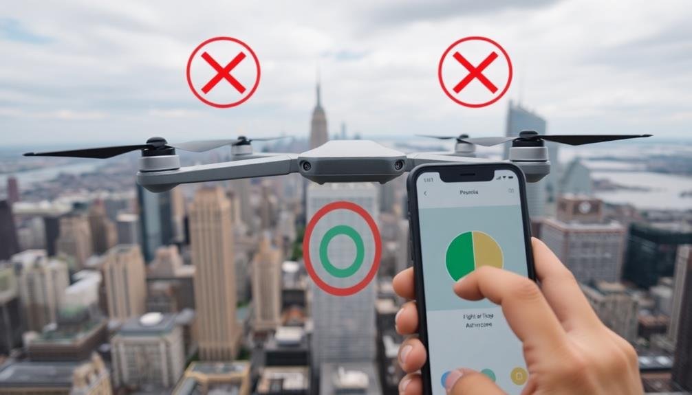
Before you launch your drone, you'll need to verify you have the proper permissions to fly. Start by checking your location on the FAA's B4UFLY app or website. This tool will inform you of any airspace restrictions or requirements in your area.
If you're flying in controlled airspace, you'll need to obtain authorization through the LAANC system. This automated process allows you to request and receive approval quickly, often within minutes.
For areas not covered by LAANC, you'll need to submit a manual request through the FAA's DroneZone portal.
Don't forget to check for any local regulations or temporary flight restrictions (TFRs) that may be in effect. These can include restrictions around events, emergencies, or sensitive locations.
If you're flying for commercial purposes, verify you have your Part 107 certification. Recreational flyers should follow the guidelines set by the FAA, including registering their drones and passing the TRUST test.
Lastly, if you're planning to fly over private property, it's best to obtain permission from the landowner to avoid potential legal issues.
Always prioritize safety and respect for others when operating your drone.
Essential Pre-Flight Safety Checks
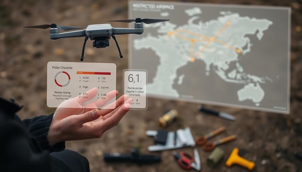
Several essential pre-flight safety checks are critical for responsible drone operation. Before taking off, you'll need to verify your drone is in top condition and ready for flight. Start by examining your drone's physical state, checking for any visible damage or loose parts.
Next, confirm that your batteries are fully charged and securely attached. Don't forget to inspect your propellers for any signs of wear or damage, as they're vital for safe flight.
Once you've confirmed your drone's hardware is in order, focus on the environmental factors:
- Check the weather conditions, including wind speed and direction
- Scan the area for potential obstacles or hazards
- Identify any nearby airports or restricted airspace
- Make sure you have a clear line of sight for your flight path
It's also essential to calibrate your drone's compass and GPS before each flight. This step helps maintain accurate positioning and stability during operation.
Finally, familiarize yourself with your drone's controls and flight modes. Understanding how to react in different situations will help you navigate unexpected challenges and maintain safe flight practices.
Tools for Airspace Awareness
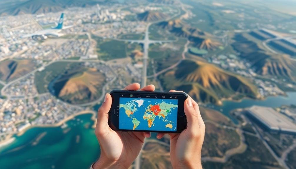
While pre-flight checks guarantee your drone is ready for takeoff, knowing where you can legally fly is equally important.
Fortunately, several tools can help you stay informed about airspace restrictions and regulations.
The Federal Aviation Administration's B4UFLY mobile app is a must-have for drone pilots. It provides real-time information about airspace restrictions, temporary flight restrictions, and controlled airspace.
Another valuable resource is AirMap, which offers detailed airspace data and even allows you to request authorization for certain restricted areas.
For more thorough planning, consider using Kittyhawk or UAV Forecast. These apps combine airspace information with weather data, helping you make informed decisions about flight conditions.
If you're looking for a web-based solution, SkyVector offers aeronautical charts that display airspace classifications and restrictions.
Don't forget about local regulations. Many cities and states have their own drone laws that may be more restrictive than federal rules.
Always check local ordinances before flying. By using these tools and staying informed about both federal and local regulations, you'll guarantee that your drone flights aren't only safe but also legal.
Consequences of Airspace Violations
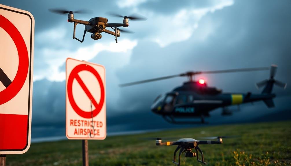
Violating airspace regulations with your drone can result in severe consequences.
You'll face potential fines, penalties, and even the possibility of having your drone pilot license revoked.
Understanding the legal ramifications of airspace violations is essential for responsible drone operation and avoiding costly mistakes.
Fines and Penalties
Drone operators who break airspace regulations face steep consequences. The Federal Aviation Administration (FAA) takes airspace violations seriously and can impose hefty fines and penalties on those who disregard the rules.
If you're caught flying your drone in restricted areas or violating other regulations, you'll likely face financial penalties, potential criminal charges, and the possibility of losing your drone pilot license.
The severity of the punishment often depends on the nature and frequency of the violation. Here's a breakdown of potential consequences:
- Civil penalties: Fines ranging from $1,100 to $27,500 for each violation
- Criminal penalties: Fines up to $250,000 and imprisonment for up to three years
- Revocation of your Remote Pilot Certificate
- Seizure of your drone equipment
It's essential to understand that ignorance of the law isn't a valid defense. As a drone operator, you're responsible for knowing and following all applicable regulations.
Stay informed about temporary flight restrictions, no-fly zones, and other airspace limitations in your area. Always check for updates before each flight and use official FAA resources to confirm you're operating within legal boundaries.
License Revocation Possibilities
The most severe consequence for airspace violations is the revocation of your drone pilot license. If you repeatedly or egregiously violate airspace restrictions, the FAA may permanently revoke your license, effectively ending your career as a commercial drone pilot. This action is typically reserved for the most serious offenses, such as flying in restricted areas near airports or critical infrastructure.
To avoid license revocation, always check for Temporary Flight Restrictions (TFRs) before each flight and stay informed about permanent no-fly zones. Don't ignore warnings from air traffic control or law enforcement. If you're caught violating airspace regulations, cooperate fully with authorities and provide accurate information about your flight.
The FAA may also suspend your license for a set period, usually 30 to 180 days, depending on the severity of the violation. During this time, you can't operate drones commercially. Multiple suspensions increase the likelihood of permanent revocation.
Legal Ramifications Explained
Beyond license suspensions and revocations, airspace violations can lead to severe legal consequences. When you fly your drone in restricted airspace without proper authorization, you're not just risking your pilot's license – you're potentially breaking federal laws.
The Federal Aviation Administration (FAA) takes these violations seriously, and you could face hefty fines, criminal charges, or even imprisonment for willful or repeated offenses.
It's vital to understand the potential ramifications of airspace violations:
- Civil penalties: Fines can range from $1,100 to $27,500 per violation for individuals
- Criminal prosecution: Serious cases may lead to federal charges and jail time
- Seizure of equipment: Your drone and related gear could be confiscated
- Liability issues: You may be held responsible for any damages or injuries caused
Frequently Asked Questions
Can I Fly My Drone at Night in Unrestricted Airspace?
You can fly your drone at night in unrestricted airspace, but you'll need to meet specific requirements. These include having an anti-collision light visible for 3 miles and completing additional night flight training. Always check local regulations too.
How Do Weather Conditions Affect Drone Flight Restrictions?
Weather conditions greatly impact your drone flight restrictions. You'll need to avoid flying in rain, snow, high winds, or low visibility. Always check local weather reports and follow safety guidelines before taking off with your drone.
Are There Restrictions on Flying Drones Near Wildlife or Animals?
Yes, there are restrictions on flying drones near wildlife. You shouldn't disturb animals or their habitats. Keep your distance from nesting sites, migration routes, and protected areas. Always check local regulations before flying near wildlife.
Can I Use a Drone for Commercial Purposes Without Additional Certifications?
You can't use a drone for commercial purposes without additional certifications. You'll need to obtain a Part 107 Remote Pilot Certificate from the FAA. This involves passing a knowledge test and meeting other requirements.
What Are the Rules for Flying Drones Over Private Property?
You can't fly drones over private property without the owner's permission. It's considered trespassing. However, you're allowed to fly above private land if you maintain a reasonable height and don't invade privacy or cause disturbance.
In Summary
You've now got the knowledge to fly your drone safely and legally. Remember, it's your responsibility to check for restricted airspace and no-fly zones before each flight. Always obtain necessary permissions, conduct pre-flight checks, and use airspace awareness tools. Stay informed about airspace classes and regulations. By following these guidelines, you'll avoid violations and enjoy worry-free drone photography. Keep learning, fly responsibly, and capture amazing aerial shots within the law.

As educators and advocates for responsible drone use, we’re committed to sharing our knowledge and expertise with aspiring aerial photographers.


Leave a Reply