To enhance drone search patterns for rescues, focus on three key areas. First, implement grid pattern precision by dividing your search area into equal-sized cells and using RTK GPS for centimeter-level accuracy. Second, design terrain-adaptive flight routes that follow natural contours and adjust altitude based on topography for better visibility. Third, employ multi-drone coordination strategies, assigning specific roles to each drone and using a centralized command system for efficient coverage. By optimizing these aspects, you'll greatly improve your rescue operation's effectiveness and increase the chances of locating missing persons quickly. Discover how these techniques can revolutionize your search and rescue missions.
Grid Pattern Precision

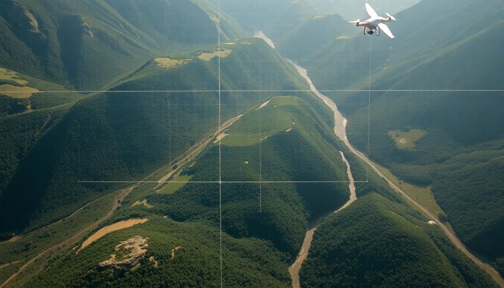
When it comes to grid pattern precision, drones can greatly improve search and rescue operations. To maximize effectiveness, you'll need to program your drone to follow a precise grid pattern.
Start by defining the search area's boundaries using GPS coordinates. Divide this area into equal-sized cells, typically 50 to 100 meters wide, depending on the terrain and visibility conditions.
Guarantee your drone maintains a consistent altitude throughout the search. This helps create uniform imagery and prevents missed spots. Set your drone's speed to allow for thorough visual inspection of each cell. Remember, slower speeds increase precision but extend search time.
Implement automatic waypoint navigation to guide your drone along the grid lines. This guarantees complete coverage and reduces human error. Use overlapping flight paths to minimize the risk of missing vital details between passes.
Consider environmental factors like wind direction and adjust your grid accordingly. For enhanced precision, integrate real-time kinematic (RTK) GPS technology. This can improve your drone's positional accuracy to within centimeters.
Terrain-Adaptive Flight Routes

While grid patterns offer systematic coverage, they're not always ideal for complex landscapes. To enhance your search efficiency, you'll need to adapt your drone's flight routes to the terrain you're operating in.
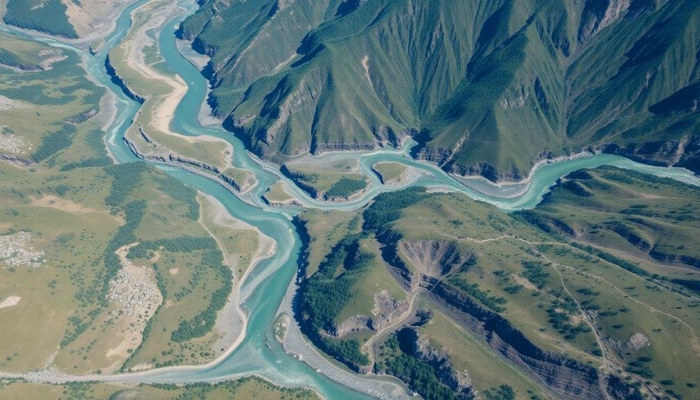
Start by analyzing topographical maps and satellite imagery of the search area. Identify key features like valleys, ridges, and dense vegetation that might impact your drone's performance or obscure visibility.
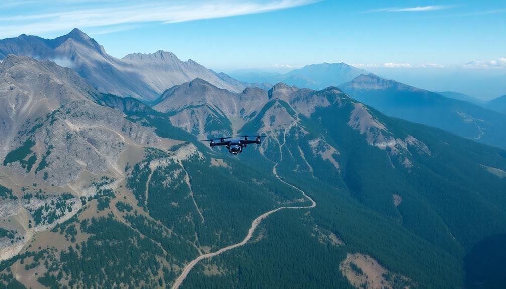
You'll want to design flight paths that follow natural contours and take advantage of elevation changes. In mountainous areas, fly along ridgelines and sweep across slopes at different altitudes. For forested regions, plan routes that weave through clearings and hover over canopy gaps.
In urban environments, consider zigzag patterns that account for building heights and potential signal interference.
Don't forget to adjust your drone's altitude based on the terrain. Fly lower in open areas for better ground visibility, but maintain a higher altitude when maneuvering around obstacles.
Use terrain-following modes if your drone supports them, allowing it to automatically adjust its height relative to the ground. Remember to program multiple waypoints to create a thorough search pattern that adapts to the landscape's unique challenges.
Multi-Drone Coordination Strategies

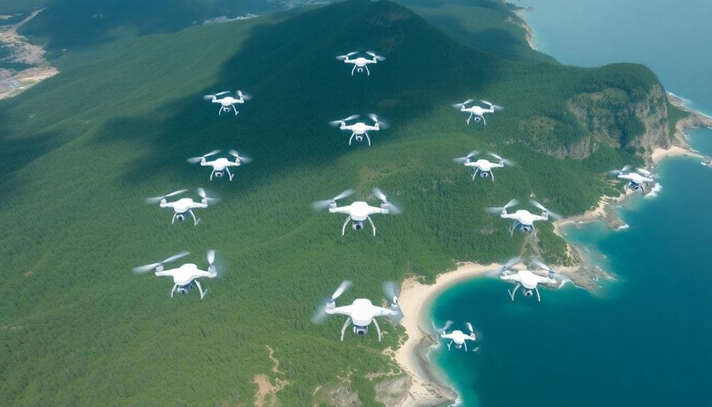
Search and rescue operations' effectiveness can be greatly improved through multi-drone coordination strategies. You'll want to implement a swarm-based approach, where multiple drones work together as a cohesive unit.
Start by assigning each drone a specific role, such as wide-area scanner, detailed inspector, or communication relay. This division of labor allows for more efficient coverage and resource utilization.
You should also establish a centralized command and control system to coordinate your drones' movements. This system can dynamically adjust search patterns based on real-time data and environmental conditions.
Incorporate mesh networking technology to enable drones to communicate directly with each other, reducing reliance on a single control point.
To maximize your search area, use a grid-based partitioning system. Divide the search zone into sectors and assign drones to specific areas, ensuring no overlap.
Implement collision avoidance algorithms to prevent mid-air accidents and optimize flight paths. You'll also want to program your drones to autonomously recharge or swap batteries, maintaining continuous operation.
Frequently Asked Questions
How Does Battery Life Affect Drone Search Patterns in Rescue Operations?
Battery life considerably impacts your drone's search patterns during rescues. You'll need to plan shorter flight paths, prioritize critical areas, and consider multiple drones or battery swaps to maintain continuous coverage in extended operations.
What Role Does Weather Play in Selecting Effective Drone Search Patterns?
Weather's essential in choosing drone search patterns. You'll need to adjust for wind, rain, and visibility. It'll impact flight time, sensor effectiveness, and safety. Always consider current conditions when planning your search strategy.
Are There Legal Restrictions on Using Drones for Search and Rescue?
You'll find legal restrictions on drone use for search and rescue vary by country. In the US, you'll need FAA certification and must follow regulations on altitude, airspace, and night operations. Always check local laws before flying.
How Do Thermal Imaging Cameras Enhance Drone Search Capabilities?
You'll find thermal cameras greatly enhance drone searches. They detect heat signatures, allowing you to spot people day or night. You can see through smoke, foliage, and light barriers, increasing your chances of locating missing individuals.
What Training Is Required for Drone Operators in Search and Rescue Missions?
You'll need specialized training in drone piloting, search patterns, and emergency protocols. You should also learn about thermal imaging, GPS navigation, and local regulations. Regular practice missions and ongoing certifications are essential for maintaining skills.
In Summary
You've now learned three key strategies to improve your drone search patterns for rescues. By mastering grid pattern precision, you'll cover areas more thoroughly. Adapting flight routes to terrain will help you navigate challenging landscapes effectively. And with multi-drone coordination, you'll maximize your search efforts. Remember, these techniques can mean the difference between success and failure in critical rescue operations. Keep practicing and refining your skills to become a more effective drone operator.

As educators and advocates for responsible drone use, we’re committed to sharing our knowledge and expertise with aspiring aerial photographers.


Leave a Reply