
High-tech solutions are revolutionizing snowpack monitoring from the sky. You'll find drones and advanced sensors replacing traditional manual methods, offering safer, more efficient data collection. These aerial technologies use LiDAR, multispectral, and thermal sensors to measure snow depth, density, and moisture content with unprecedented accuracy. They can quickly cover vast areas, creating detailed 3D maps and providing real-time data for water resource management and avalanche forecasting. The integration of artificial intelligence and machine learning further enhances data analysis and predictive capabilities. As these technologies evolve, they promise to transform our understanding and management of snowpack resources. The future of snow monitoring looks bright from above.
Traditional Snow Pack Measurement Methods
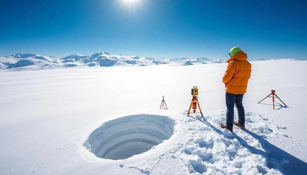
Trudging through deep snow, researchers and field technicians have long relied on manual methods to measure snowpack. You'll find them using snow tubes, a simple yet effective tool for collecting snow core samples. These hollow cylinders are pushed into the snow, allowing you to extract a vertical sample and measure its depth and water content.
Another common technique you'll encounter is the use of snow courses. These are predetermined sites where measurements are taken regularly throughout the winter season. You'd typically see surveyors using snow tubes and scales to measure snow depth and density at multiple points along these courses.
Snow pillows are another traditional method you might come across. These large, flat sensors are filled with antifreeze and placed on the ground before snowfall. As snow accumulates, it compresses the pillow, allowing you to measure the snow's weight and estimate its water content.
You'll also find manual snow stakes scattered across mountainous regions. These simple poles with marked measurements allow observers to quickly read snow depth at a glance.
While these methods have served well for decades, they're limited by their point-specific nature and the physical effort required to access remote locations.
Challenges in Manual Snow Monitoring
While manual snow monitoring methods have been reliable for years, they come with significant drawbacks.
You'll find that these traditional techniques are labor-intensive, time-consuming, and often dangerous. When you're trekking through remote, snow-covered terrain, you're exposing yourself to potential avalanches, hypothermia, and other hazards.
You're also limited by accessibility. Many vital snowpack areas are in rugged, hard-to-reach locations. This means you can't gather data as frequently as you'd like, potentially missing important changes in snow conditions.
The data you collect is also spatially limited, as you're only sampling specific points rather than entire regions.
There's also the issue of human error. Despite your best efforts, manual measurements can be inconsistent due to variations in technique or equipment.
You're dealing with a dynamic environment where conditions can change rapidly, making it challenging to capture accurate, real-time data.
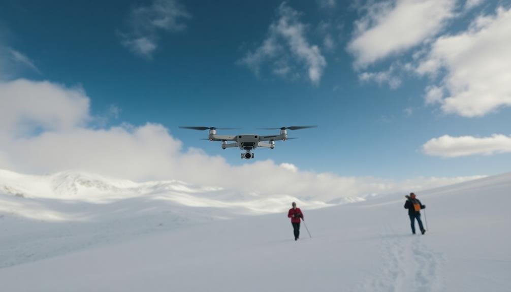
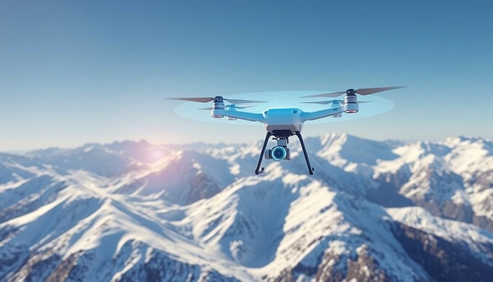
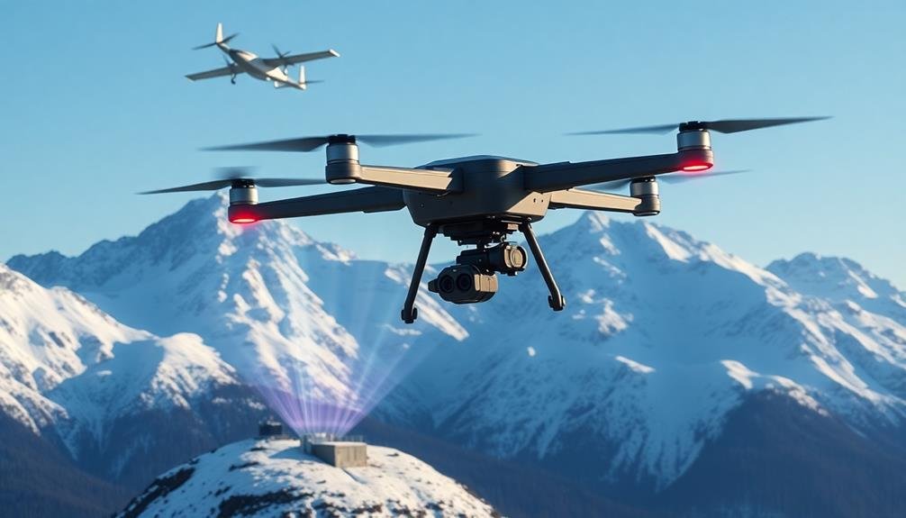
Drones: A Game-Changer for Snowpack Analysis
In light of the challenges faced by manual snow monitoring, drones have emerged as a revolutionary tool for snowpack analysis.
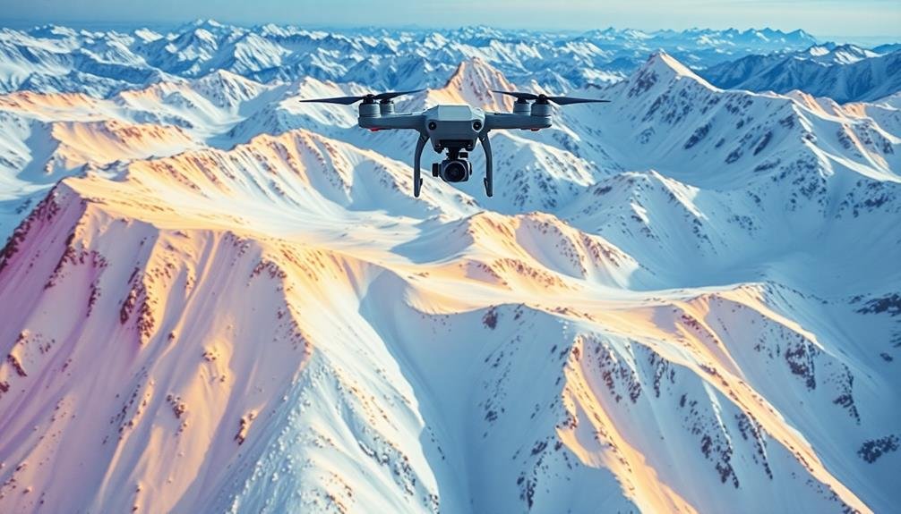
These unmanned aerial vehicles offer a cost-effective, efficient, and safe alternative to traditional methods. You'll find that drones can cover vast areas quickly, accessing remote or dangerous terrain that might be off-limits to human surveyors.
Equipped with advanced sensors and cameras, drones can capture high-resolution imagery and data about snow depth, density, and distribution. This information is essential for accurate snowpack assessment and forecasting.
You can use drones to:
- Create 3D maps of snowpack using photogrammetry techniques
- Measure snow depth with LiDAR technology
- Detect variations in snow surface temperature using thermal imaging
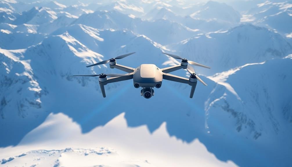
Advanced Sensors for Aerial Snow Measurement
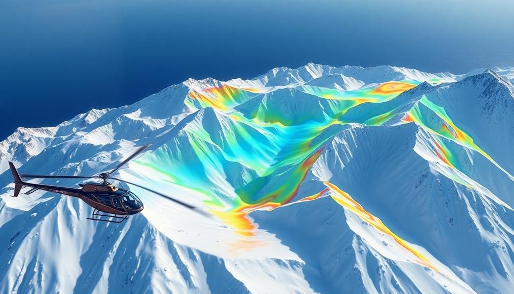
Cutting-edge sensors have revolutionized aerial snow measurement, enhancing the capabilities of drones for snowpack analysis. You'll find that LiDAR (Light Detection and Ranging) technology is at the forefront of these advancements. It uses laser pulses to create detailed 3D maps of snow-covered terrain, providing accurate depth measurements and surface characteristics.
Multispectral and hyperspectral cameras are also game-changers. They capture data across various wavelengths, allowing you to assess snow properties like grain size, moisture content, and impurities. This information is vital for predicting melt rates and water resource management.
You'll appreciate the efficiency of thermal sensors, which detect temperature variations across the snowpack. They help identify areas prone to avalanches and assist in studying the snow's energy balance.
Radar technology, particularly SAR (Synthetic Aperture Radar), enables you to penetrate the snow surface and measure its internal structure. This gives you valuable insights into snow density and layering.
LiDAR Technology in Snow Depth Mapping
LiDAR technology has revolutionized snow depth mapping by using pulsed laser light to measure distances with high precision.
You'll find that airborne LiDAR systems mounted on aircraft or drones can rapidly collect data over large snow-covered areas, creating detailed 3D maps of the terrain.
These systems can achieve snow depth accuracy within a few centimeters, making them invaluable tools for monitoring snowpack changes and predicting water resources.
Lidar Operational Principles
Light detection and ranging (LiDAR) technology has revolutionized snow depth mapping, offering unprecedented accuracy and efficiency. At its core, LiDAR operates by emitting rapid pulses of laser light and measuring the time it takes for these pulses to bounce back from the target surface.
In snow depth mapping, you'll find that LiDAR systems mounted on aircraft or drones scan vast areas quickly, creating detailed 3D models of the snowpack.
The key to LiDAR's effectiveness lies in its ability to penetrate vegetation and capture fine-scale topographic features. As you explore this technology, you'll discover that it can detect variations in snow depth with centimeter-level precision.
LiDAR systems typically use near-infrared wavelengths, which are ideal for snow reflection and absorption characteristics.
Here's what makes LiDAR stand out for snow depth mapping:
- High-resolution data capture, even in challenging terrain
- Ability to cover large areas quickly and efficiently
- Capacity to generate accurate 3D models of snowpack distribution
Airborne Data Collection
When it comes to gathering snow depth data over vast areas, airborne LiDAR collection is unmatched in its efficiency and accuracy. You'll find that aircraft equipped with LiDAR sensors can cover extensive regions quickly, capturing detailed measurements of snow-covered landscapes.
As you plan an airborne LiDAR mission, you'll need to take into account flight altitude, speed, and sensor specifications. These factors affect the resolution and precision of your data. Typically, you'll fly at altitudes between 500 and 3,000 meters, depending on your project requirements.
During the flight, the LiDAR system emits rapid pulses of laser light, which bounce off the snow surface and return to the sensor. You'll collect millions of data points, creating a dense point cloud that represents the snow-covered terrain.
To guarantee accuracy, you'll use GPS and inertial measurement units (IMUs) to track the aircraft's position and orientation. This information helps you geocode the LiDAR data precisely.
After the flight, you'll process the raw data to generate high-resolution digital elevation models (DEMs) of the snow surface. By comparing these to bare-earth DEMs, you can calculate snow depth across the entire surveyed area.
Snow Depth Accuracy
Consistently, the accuracy of snow depth measurements using LiDAR technology surpasses traditional methods.
You'll find that LiDAR's precision stems from its ability to capture millions of data points across vast areas in a short time. This technology can detect snow depth variations as small as a few centimeters, providing a detailed picture of the snowpack's distribution.
When you're analyzing LiDAR data for snow depth, you'll notice it's not just about the depth itself. The technology also gives you insights into:
- Snow density variations
- Surface roughness
- Potential avalanche zones
You'll appreciate how LiDAR can penetrate through forest canopies, giving you accurate readings even in heavily wooded areas.
This is a significant advantage over other remote sensing techniques that struggle with vegetation interference.
Thermal Imaging for Snow Water Equivalent
Thermal imaging has emerged as a cutting-edge technique for measuring snow water equivalent (SWE) in snowpack monitoring. You'll find this technology particularly useful for evaluating the water content of snow without disturbing the snowpack. By capturing infrared radiation emitted from the snow surface, thermal cameras can detect temperature variations that correlate with SWE.
You can use thermal imaging from various platforms, including satellites, aircraft, and drones. These systems provide high-resolution data over large areas, allowing you to map SWE distribution across entire watersheds. The thermal signatures help you distinguish between dry snow, wet snow, and ice layers within the snowpack.
When you're interpreting thermal images, you'll need to take into account factors like snow density, grain size, and surface roughness. Advanced algorithms can help you convert thermal data into accurate SWE estimates.
You'll also find that combining thermal imaging with other remote sensing techniques, such as LiDAR or microwave radiometry, can enhance the accuracy of your SWE measurements.
Drone Flight Planning for Snow Surveys
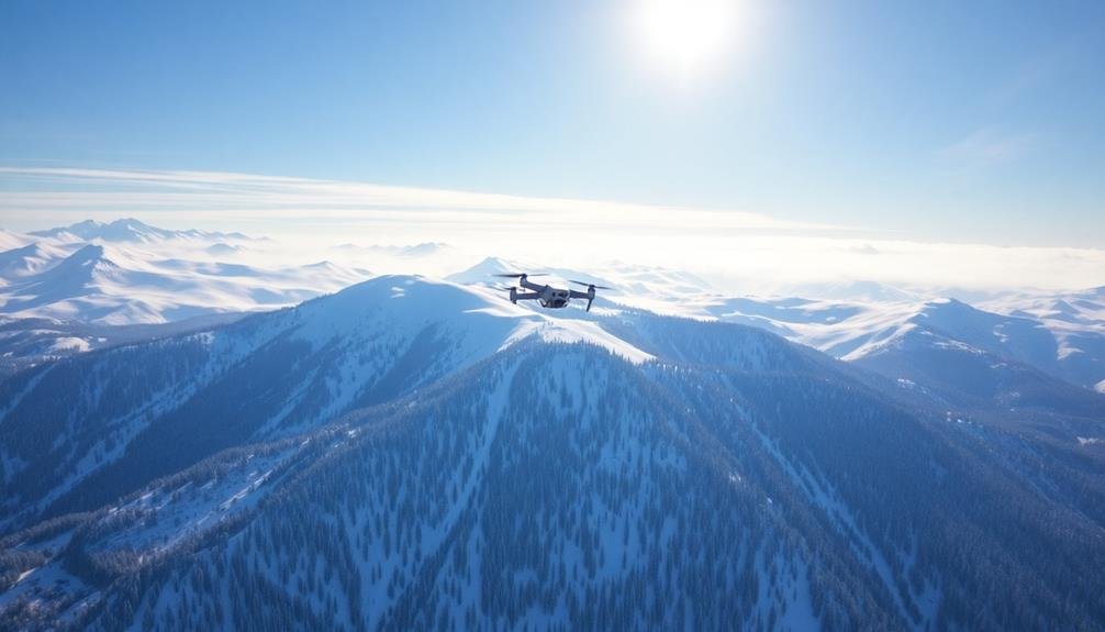
Effective drone flight planning is essential for conducting successful snow surveys. You'll need to take into account factors like flight altitude, speed, and route to guarantee thorough coverage of the survey area.
When planning your drone flights, account for weather conditions, particularly wind speed and direction, as they can greatly impact your drone's performance and battery life.
To optimize your snow survey flights:
- Map out your survey area in advance, identifying key points of interest and potential obstacles
- Choose appropriate sensors and cameras for snow depth and density measurements
- Plan for overlapping flight paths to guarantee complete coverage and data redundancy
You'll want to program your drone with specific waypoints and flight parameters to maintain consistent data collection across the survey area.
Think about using automated flight planning software to streamline this process and reduce human error. Don't forget to factor in battery life limitations and plan for multiple flights or battery swaps if necessary.
Remember to comply with local regulations regarding drone usage and obtain any required permits before conducting your snow survey.
Data Processing and Analysis Techniques
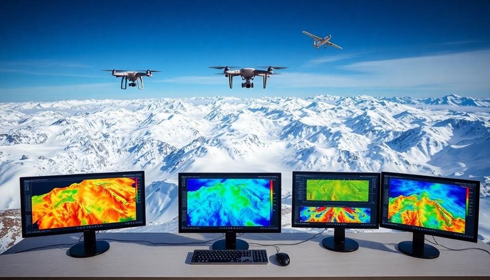
You'll find that advanced data processing techniques are essential for extracting meaningful insights from snow pack surveys.
Machine learning algorithms can help you identify patterns and predict snow melt rates with increasing accuracy.
Additionally, spectral analysis methods allow you to interpret remote sensing data, revealing valuable information about snow depth and composition.
Machine Learning Algorithms
Machine learning algorithms play a crucial role in processing and analyzing snow pack data. These advanced computational techniques can sift through vast amounts of information collected from various sources, including satellite imagery, ground sensors, and weather stations.
You'll find that machine learning models can identify patterns and trends that might be missed by traditional analysis methods, providing more accurate predictions of snow depth, water content, and melt rates.
When you're working with snow pack data, you'll likely encounter several types of machine learning algorithms:
- Supervised learning: Used for classification and regression tasks, such as predicting snow depth based on historical data
- Unsupervised learning: Helpful for clustering and anomaly detection in snow pack characteristics
- Deep learning: Particularly useful for analyzing complex satellite imagery and identifying subtle changes in snow cover
Spectral Analysis Methods
Spectral analysis methods form a cornerstone of snow pack data processing and analysis techniques. These methods allow you to extract valuable information from remotely sensed data, particularly from satellite imagery and aerial surveys. By analyzing the spectral signatures of snow-covered areas, you can determine various snow pack characteristics, including depth, density, and water content.
When using spectral analysis, you'll typically focus on specific wavelengths of the electromagnetic spectrum. The visible and near-infrared (NIR) regions are particularly useful for snow monitoring. Here's a breakdown of key spectral bands and their applications:
| Spectral Band | Wavelength (μm) | Snow Pack Information |
|---|---|---|
| Blue | 0.45 – 0.52 | Snow/cloud distinction |
| Green | 0.52 – 0.60 | Algae detection |
| Red | 0.63 – 0.69 | Snow grain size |
| NIR | 0.76 – 0.90 | Snow albedo |
| SWIR | 1.55 – 1.75 | Snow/ice distinction |
Benefits of Drone-Based Snow Monitoring

While traditional methods of snow pack monitoring have their merits, drone-based solutions offer several distinct advantages.
You'll find that drones provide a more efficient and cost-effective way to gather data over large areas. They can access remote or dangerous locations that are challenging for ground-based teams, reducing safety risks and expanding the scope of monitoring.
Drones equipped with high-resolution cameras and sensors can capture detailed imagery and data, allowing for precise measurements of snow depth, distribution, and density. You'll be able to create accurate 3D models of the snow pack, which is essential for water resource management and avalanche risk assessment.
Here are some key benefits of drone-based snow monitoring:
- Rapid data collection: Cover vast areas in a fraction of the time compared to ground surveys
- Minimal environmental impact: Reduce disturbance to sensitive ecosystems and wildlife
- Frequent monitoring: Easily conduct repeated surveys to track changes over time
Integration With Existing Monitoring Systems
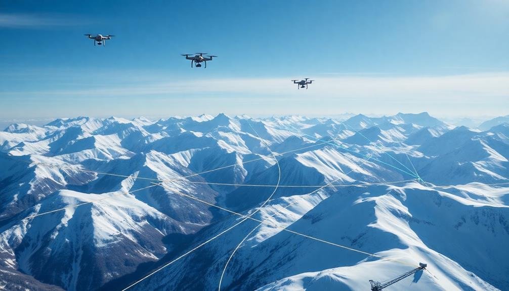
Seamless integration of drone-based snow monitoring with existing systems is vital for maximizing the benefits of this technology. You'll find that combining drone data with traditional snow monitoring methods creates a more thorough and accurate picture of snowpack conditions.
To integrate drone-based monitoring, you'll need to guarantee compatibility with your current data management systems. This often involves developing custom software interfaces or using middleware solutions to bridge the gap between drone-collected data and existing databases.
You'll also want to standardize data formats and protocols to facilitate smooth information exchange. Consider integrating drone data with automated snow telemetry (SNOTEL) stations, manual snow surveys, and satellite imagery.
This multi-pronged approach allows you to validate and cross-reference data from different sources, improving overall accuracy and reliability. You can also enhance your forecasting models by incorporating drone-collected data.
This may require updating algorithms and statistical models to account for the higher resolution and frequency of drone measurements. By doing so, you'll be able to generate more precise snowmelt predictions and water supply forecasts.
Future Advancements in Aerial Snowpack Assessment
The future of aerial snowpack assessment promises exciting advancements that will revolutionize how we monitor and understand snow conditions. You'll see improvements in sensor technology, data processing, and integration with other monitoring systems. These advancements will provide more accurate, real-time information about snowpack depth, density, and water content.
One of the most promising developments is the use of hyperspectral imaging. This technology will allow you to detect subtle variations in snow properties, including impurities and grain size. Combined with machine learning algorithms, you'll be able to analyze vast amounts of data quickly and efficiently.
Another exciting prospect is the integration of unmanned aerial vehicles (UAVs) with satellite data. This combination will provide a more thorough view of snowpack conditions across large areas, enabling better water resource management and flood prediction.
- Improved LiDAR systems for more precise snow depth measurements
- Advanced thermal sensors for detecting snow surface temperature variations
- AI-powered image recognition for identifying snow types and avalanche risks
As these technologies evolve, you'll have access to more detailed and actionable snowpack information. This will lead to better decision-making in areas such as water management, avalanche forecasting, and climate change research.
The future of aerial snowpack assessment is bright, and you can expect to see significant improvements in our understanding of this essential resource.
Frequently Asked Questions
How Do Drones Perform in Extreme Cold or Windy Conditions?
You'll find that drones can struggle in extreme cold and wind. They're often equipped with special features to handle low temperatures, but strong winds can greatly impact their stability and flight time. Always check weather conditions before flying.
What Are the Legal Restrictions for Using Drones in National Parks?
You'll face strict regulations when using drones in national parks. They're generally prohibited without special permits. You can't launch, land, or operate drones within park boundaries. Exceptions exist for scientific research or emergency services.
Can Drone-Based Monitoring Replace Ground-Based Snow Stations Entirely?
While you can use drones for snow monitoring, they can't entirely replace ground stations. You'll still need physical measurements for calibration and validation. Drones complement, rather than substitute, traditional methods, enhancing overall data collection and accuracy.
How Accurate Are Drone Measurements Compared to Satellite Snow Cover Estimates?
You'll find that drone measurements are often more accurate than satellite estimates for snow cover. They can capture finer details and aren't affected by cloud cover. However, drones cover smaller areas, so they're complementary to satellites.
What Training Is Required for Personnel to Operate Snow Monitoring Drones?
You'll need training in drone operation, flight regulations, and weather safety. You should also learn about snow science, data collection methods, and software for analyzing drone imagery. Specialized courses in snow monitoring techniques are recommended.
In Summary
You've seen how drone technology is revolutionizing snowpack monitoring. It's more efficient, accurate, and safer than traditional methods. You'll benefit from real-time data, improved water resource management, and better flood prediction. As technology advances, you can expect even more sophisticated sensors and analysis techniques. Embrace these high-tech solutions from the sky – they're changing the game for snow monitoring and will continue to enhance our understanding of this essential water resource.
As educators and advocates for responsible drone use, we’re committed to sharing our knowledge and expertise with aspiring aerial photographers.


Leave a Reply