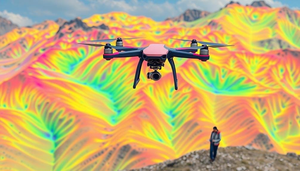
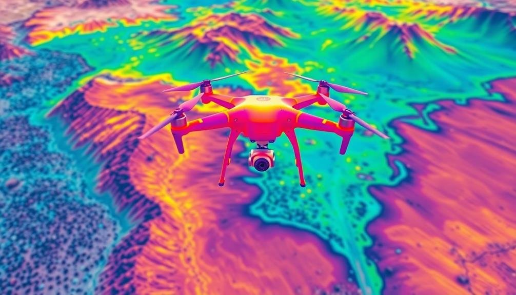
Thermal drones revolutionize precision land surveys by offering unparalleled accuracy and efficiency. You'll benefit from enhanced data collection, detecting temperature variations invisible to the naked eye. These drones provide cost-effective solutions, minimizing labor and equipment expenses while accelerating project completion. They excel in mapping inaccessible areas and identifying thermal anomalies, essential for environmental assessments and infrastructure inspections. With night and low-light capabilities, you can conduct surveys 24/7. The integration of multi-spectral data and real-time decision-making further elevates the quality of your surveys. Embracing this technology will transform your approach to land surveying, revealing new possibilities for precision and insight.
Enhanced Data Accuracy

Three key factors contribute to the enhanced data accuracy of thermal drones in land surveys.
First, thermal imaging allows you to detect temperature variations invisible to the naked eye, revealing essential details about terrain composition, moisture content, and subsurface anomalies. This precise data helps you identify potential issues or resources that traditional surveys might miss.
Second, thermal drones can operate in various lighting conditions, including low-light or nighttime environments. This flexibility enables you to conduct surveys at ideal times, avoiding interference from sunlight or shadows that could affect visual data collection. You'll get consistent results regardless of the time of day or weather conditions.
Lastly, thermal drones often come equipped with high-resolution sensors and advanced image processing capabilities. These features allow you to capture and analyze minute temperature differences with exceptional precision. You'll be able to create detailed thermal maps and 3D models that provide a thorough understanding of the surveyed area.
Cost-Effective Survey Solutions

You'll find thermal drones offer significant cost savings for land surveys.
By reducing equipment expenses and minimizing labor costs, you can streamline your survey operations.
These efficient tools enable faster data collection, allowing you to complete projects more quickly and take on additional work.
Reduced Equipment Expenses
Surveyors looking to cut costs without compromising quality will find thermal drones to be a game-changer. By adopting this technology, you'll greatly reduce your equipment expenses compared to traditional survey methods.
Thermal drones eliminate the need for multiple specialized tools, consolidating various functions into one versatile device. You won't have to invest in separate infrared cameras, GPS units, or laser scanners. The drone's integrated thermal sensors and high-resolution cameras capture all necessary data in a single flight. This consolidation means you'll spend less on purchasing, maintaining, and upgrading individual pieces of equipment.
Moreover, you'll save on transportation costs. Instead of hauling bulky equipment to remote sites, you can easily transport a compact drone. This reduction in gear translates to lower vehicle expenses and fuel costs. You'll also minimize wear and tear on your equipment, extending its lifespan and reducing replacement frequency.
Thermal drones' efficiency allows you to complete surveys faster, reducing labor costs and increasing your capacity to take on more projects. By investing in this technology, you'll not only cut immediate expenses but also position your business for long-term cost savings and increased profitability.
Minimize Labor Costs
How can thermal drones slash your labor costs in land surveying? By automating data collection and analysis, you'll greatly reduce the need for on-site personnel. Instead of deploying large teams for manual measurements, you can cover vast areas with a single drone operator.
Thermal drones streamline your workflow, allowing you to complete surveys faster and with fewer staff members. You'll save on wages, transportation, and accommodation costs associated with extended field missions. Additionally, you can reallocate your skilled surveyors to more complex tasks, maximizing their expertise and your resources.
| Cost Factor | Traditional Method | Thermal Drone Method |
|---|---|---|
| Staff Required | 3-5 surveyors | 1 drone operator |
| Survey Duration | 5-7 days | 1-2 days |
| Data Processing | Manual, time-consuming | Automated, rapid |
Faster Data Collection
Thermal drones revolutionize the speed of data collection in land surveying. You'll find that these advanced tools can cover vast areas in a fraction of the time it takes traditional methods. By capturing thermal imagery from above, you're able to gather extensive data on land features, vegetation, and structures quickly and efficiently.
The rapid data collection capabilities of thermal drones offer several advantages:
- Increased survey coverage: You can map larger areas in a single flight, reducing the need for multiple site visits.
- Real-time data analysis: As the drone captures thermal imagery, you can process and analyze the data on-site, allowing for immediate decision-making.
- Reduced time constraints: Weather windows and daylight hours become less of a concern, as thermal drones can operate in various conditions.
- Faster project turnaround: With quicker data collection, you'll be able to complete surveys and deliver results to clients in a shorter timeframe.
Time-Efficient Mapping Processes
In the past, land surveying was a time-consuming process, but thermal drones have revolutionized the field. These advanced devices offer time-efficient mapping processes that considerably reduce the duration of your projects.
With thermal drones, you'll capture large areas quickly, creating detailed thermal maps in a fraction of the time required by traditional methods. You'll benefit from automated flight patterns and pre-programmed missions, allowing your drone to cover vast territories systematically. This automation eliminates human error and guarantees consistent data collection across the entire survey area.
Real-time data processing is another time-saving feature. As your drone collects thermal imagery, onboard systems can begin analyzing and stitching together the data. This means you'll have preliminary results available almost immediately after the flight, enabling quick decision-making and reducing post-processing time.
You'll also save time by minimizing ground control points. Thermal drones equipped with RTK (Real-Time Kinematic) or PPK (Post-Processed Kinematic) GPS can achieve high accuracy without extensive ground markings. This reduces the need for time-consuming ground preparations and allows you to focus on data collection and analysis.
Thermal Anomaly Detection

One of the most powerful capabilities of thermal drones lies in their ability to detect anomalies across vast landscapes.
You'll be able to identify temperature variations that aren't visible to the naked eye, revealing hidden issues or potential problems in your surveyed area.
These thermal sensors can pick up on subtle differences in heat signatures, allowing you to spot irregularities quickly and efficiently.
When you're conducting precision land surveys with thermal drones, you'll benefit from their ability to detect various anomalies, including:
- Underground water leaks or pipeline issues
- Structural defects in buildings or infrastructure
- Heat loss in energy systems or insulation problems
- Vegetation stress or disease in agricultural fields
Inaccessible Area Coverage

Reaching areas that are challenging or dangerous for humans to access is where thermal drones truly shine. You'll find these unmanned aerial vehicles invaluable when surveying steep cliffs, dense forests, or hazardous industrial sites. They can easily navigate through rough terrain and capture thermal data from vantage points that would be impossible for ground-based teams.
With thermal drones, you can inspect rooftops, tall structures, and remote mountainous regions without putting surveyors at risk. They're particularly useful in disaster-stricken areas where ground access might be restricted. You'll be able to quickly assess damage, locate survivors, or identify potential hazards using their thermal imaging capabilities.
In agriculture, thermal drones allow you to survey vast fields and detect irrigation issues or crop diseases in hard-to-reach areas.
For environmental studies, you can monitor wildlife in dense jungles or track thermal patterns in inaccessible wetlands. Urban planners benefit from thermal surveys of sprawling cityscapes, identifying heat islands and energy inefficiencies across entire neighborhoods.
Environmental Impact Assessment

For the purpose of environmental impact assessment, thermal drones offer unparalleled insights. You'll be able to detect and analyze environmental changes with remarkable accuracy, providing essential data for decision-making processes.
By using thermal imaging technology, you can identify heat signatures that aren't visible to the naked eye, revealing valuable information about ecosystems, wildlife habitats, and human impact on the environment.
Here's how thermal drones can enhance your environmental impact assessments:
- Detect water pollution: You'll spot temperature variations in water bodies, indicating potential contamination or illegal discharges.
- Monitor wildlife: You can track animal movements and populations without disturbing their natural habitats.
- Assess vegetation health: You'll identify stressed or diseased plants before visible symptoms appear, allowing for early intervention.
- Evaluate urban heat islands: You can map temperature variations in cities, helping urban planners design more sustainable environments.
Night and Low-Light Capabilities

As darkness falls, thermal drones truly shine in their ability to capture high-quality data in low-light conditions. You'll find these devices invaluable for conducting surveys when visibility is limited or during nighttime hours.
Thermal imaging technology doesn't rely on visible light, allowing you to gather accurate data 24/7. You can use thermal drones to detect heat signatures from various sources, including buildings, wildlife, and vegetation. This capability enables you to identify potential issues or anomalies that might go unnoticed during daylight surveys.
For instance, you'll easily spot heat leaks in structures or locate nocturnal animals for ecological studies. Moreover, you'll appreciate the enhanced safety aspects of night operations with thermal drones. They can detect obstacles and hazards that aren't visible to the naked eye, reducing the risk of accidents during low-light surveys.
You'll also benefit from the reduced interference from human activity and traffic during nighttime operations, leading to more precise and undisturbed data collection.
Multi-Spectral Data Integration

Beyond thermal imaging, you'll find that integrating multi-spectral data takes your land surveys to the next level. By combining thermal data with other spectral bands, you'll gain a more thorough understanding of the land you're surveying. This integration allows you to analyze various aspects of the terrain, vegetation, and structures simultaneously.
Multi-spectral data integration offers several advantages:
- Enhanced vegetation analysis: You'll detect plant health, stress levels, and species identification more accurately.
- Improved soil composition mapping: You can identify soil types, moisture content, and potential contaminants with greater precision.
- Better infrastructure assessment: You'll detect hidden structural issues, energy efficiency problems, and maintenance needs more effectively.
- Increased data richness: You'll have a more detailed and nuanced dataset for making informed decisions about land use and management.
Real-Time Decision Making

Leveraging real-time data from thermal drones allows you to make quick, informed decisions during land surveys. As you receive immediate temperature readings and thermal imagery, you can identify anomalies or areas of interest on the spot. This real-time capability enables you to adjust your survey strategy, focus on specific regions, or address urgent issues without delay.
You'll find that real-time decision making notably improves the efficiency of your land surveys. Instead of waiting for post-processing, you can direct ground teams to investigate hotspots or cold zones as they're detected. This immediate response can be vital for identifying potential hazards, such as underground fires or water leaks.
You're also able to optimize your flight patterns on the fly, ensuring thorough coverage of the most relevant areas.
Moreover, real-time data allows you to make instant comparisons with historical thermal maps or other datasets. You can quickly spot changes or trends, helping you to prioritize areas for further investigation.
This dynamic approach to land surveying enhances your ability to respond to evolving conditions and make data-driven decisions in the field, ultimately leading to more accurate and actionable results.
Frequently Asked Questions
How Do Thermal Drones Compare to Traditional Manned Aircraft for Land Surveys?
You'll find thermal drones offer more flexibility and cost-effectiveness compared to manned aircraft for land surveys. They can access tight spaces, provide higher resolution imagery, and operate at lower altitudes, giving you more detailed and precise data.
What Are the Legal Requirements for Operating Thermal Drones in Residential Areas?
You'll need FAA certification, registration, and to follow local ordinances. Don't fly over people without consent. Respect privacy laws and avoid nighttime flights. Check for any restricted airspace before operating thermal drones in residential areas.
Can Thermal Drones Be Used for Underwater Mapping and Surveys?
You can't use thermal drones for underwater mapping and surveys. Thermal imaging doesn't work well underwater due to water's absorption of infrared radiation. Instead, you'll need specialized underwater drones equipped with sonar or acoustic imaging technology.
How Do Weather Conditions Affect the Performance of Thermal Drones?
Weather conditions greatly impact your thermal drone's performance. You'll find that rain, fog, and high humidity can obscure thermal readings. Strong winds may affect flight stability, while extreme temperatures can reduce battery life and sensor accuracy.
What Software Is Typically Used to Process Thermal Drone Survey Data?
You'll typically use specialized thermal imaging software like FLIR Tools, Pix4D, or DroneDeploy to process thermal drone survey data. These programs help you analyze, stitch, and interpret the thermal images captured during your surveys.
In Summary
You've seen how thermal drones revolutionize precision land surveys. They'll boost your data accuracy, save you money, and speed up mapping. You'll detect thermal anomalies, cover hard-to-reach areas, and assess environmental impact. Don't forget their night capabilities and multi-spectral data integration. With real-time decision making at your fingertips, you're equipped to tackle complex surveys efficiently. Embrace this technology, and you'll transform your surveying practices for the better.
As educators and advocates for responsible drone use, we’re committed to sharing our knowledge and expertise with aspiring aerial photographers.


Leave a Reply