Drones revolutionize tsunami aftermath assessments in three key ways. First, they enable rapid damage assessment, providing a bird's-eye view of affected areas for quick surveys and accessing dangerous locations safely. Second, drones enhance search and rescue operations, using thermal cameras to detect survivors and covering vast areas quickly. Third, they facilitate environmental impact monitoring, capturing high-resolution imagery of coastline erosion, vegetation damage, and debris spread. With real-time data transmission and specialized sensors, drones considerably improve the speed, accuracy, and safety of post-tsunami evaluations. Exploring these innovations further reveals how drones are transforming disaster response efforts.
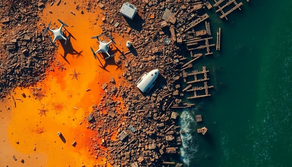
Rapid Damage Assessment
Four key advantages make drones invaluable for rapid damage assessment after a tsunami.
First, they provide a bird's-eye view of affected areas, allowing you to quickly survey vast stretches of coastline and inland regions. This aerial perspective helps you identify the extent of flooding, structural damage, and debris fields that may be difficult to assess from ground level.
Second, drones can access hard-to-reach or dangerous areas where it's unsafe for human responders. You can deploy them to inspect unstable buildings, bridges, or terrain without risking lives.
Third, drones equipped with high-resolution cameras and thermal imaging sensors capture detailed imagery and data. You'll be able to assess building integrity, locate survivors, and identify potential hazards like chemical spills or fires.
Lastly, drones offer real-time data transmission. As they fly over disaster zones, you can receive live video feeds and images, allowing for immediate analysis and decision-making.
This rapid information flow enables you to prioritize rescue efforts, allocate resources efficiently, and coordinate emergency response teams more effectively. By leveraging these advantages, you'll markedly enhance the speed and accuracy of your tsunami damage assessments.
Search and Rescue Operations
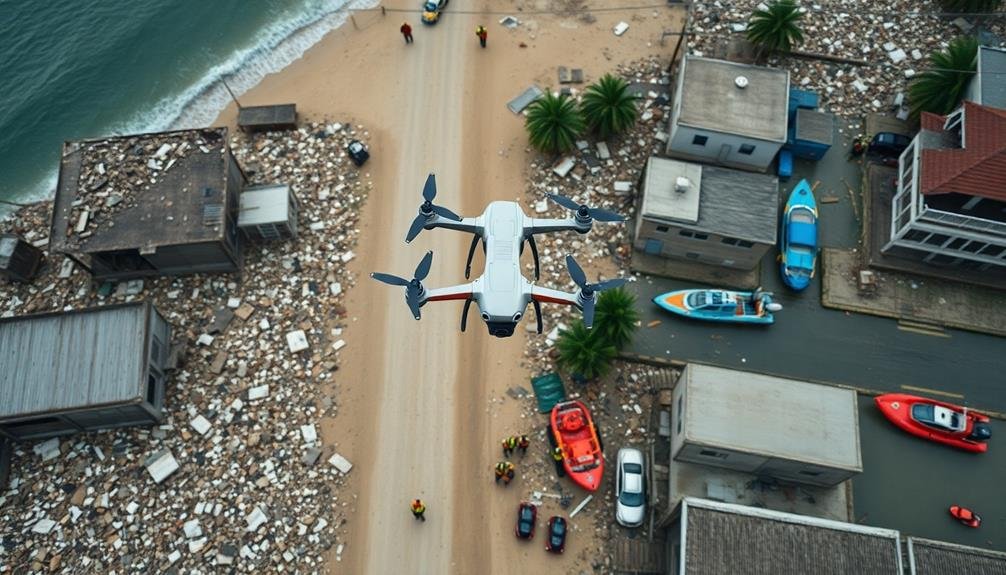
Drones' rapid damage assessment capabilities directly support their role in search and rescue operations after a tsunami. You'll find these unmanned aerial vehicles scouring affected areas, identifying survivors, and guiding rescue teams to their locations. They're equipped with thermal cameras and high-resolution imaging, allowing them to detect heat signatures and movement in places inaccessible to ground teams.
You'll appreciate how drones can quickly cover vast areas, reducing search times and increasing the chances of finding survivors. They'll transmit real-time video feeds to command centers, enabling rescuers to prioritize their efforts and allocate resources efficiently. In debris-filled landscapes, drones will help identify safe routes for rescue teams, minimizing risks and expediting operations.
| Drone Advantage | Impact on Rescue | Emotional Response |
|---|---|---|
| Speed | Faster survivor location | Hope |
| Access | Reach inaccessible areas | Relief |
| Safety | Reduce risks to rescuers | Gratitude |
You'll see drones dropping supplies to stranded survivors, providing essential resources until rescue teams arrive. They'll also assist in coordinating multiple rescue teams, ensuring seamless communication and preventing duplication of efforts. With drones, you're witnessing a revolution in search and rescue operations, dramatically improving the chances of survival in tsunami-affected areas.
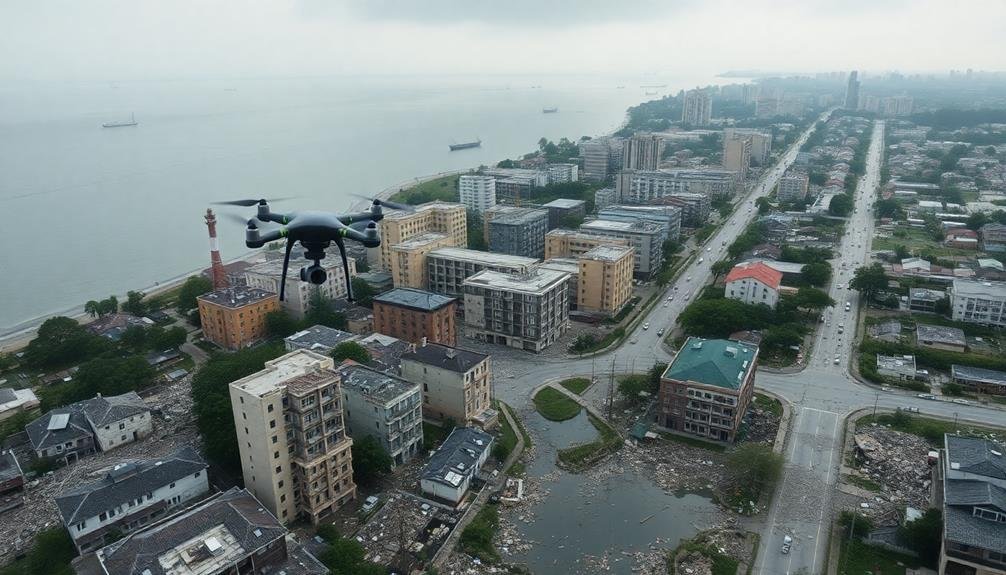
Environmental Impact Monitoring
In the wake of a tsunami, drones play an essential role in monitoring environmental impacts. You'll find these unmanned aerial vehicles equipped with high-resolution cameras and specialized sensors, allowing for thorough assessments of affected areas. They're able to capture detailed imagery of coastline erosion, vegetation damage, and changes in land use patterns.
You can use drones to track the spread of debris fields and pollutants, helping to identify potential hazards to wildlife and ecosystems. They're particularly useful for monitoring hard-to-reach areas, such as remote beaches or fragile coral reefs.
With thermal imaging capabilities, drones can detect temperature anomalies in water bodies, indicating potential chemical spills or alterations in marine habitats.
You'll appreciate how drones enable rapid and repeated surveys, allowing for time-series analysis of environmental recovery. They can monitor the regrowth of vegetation, track changes in sediment distribution, and assess the impact on local flora and fauna.
Frequently Asked Questions
How Do Drones Communicate With Ground Control During Tsunami Aftermath Assessments?
You'll find drones communicate with ground control via radio frequencies, Wi-Fi, or cellular networks. They're equipped with transmitters that send real-time data, images, and video. Some use satellite links for extended range during tsunami aftermath assessments.
What Are the Legal Implications of Using Drones in Disaster-Stricken Areas?
You'll face legal challenges when using drones in disaster areas. You must consider privacy laws, airspace regulations, and potential interference with emergency operations. You'll need proper permits and should follow local guidelines to avoid legal issues.
How Do Drones Handle Extreme Weather Conditions During Post-Tsunami Operations?
You'll find that modern drones are built tough. They're designed to withstand strong winds, rain, and debris. However, they'll struggle in severe conditions. Operators must assess risks and use weather-resistant models for post-tsunami missions.
What Training Is Required for Drone Operators in Tsunami Aftermath Scenarios?
You'll need specialized training for post-tsunami drone operations. You'll learn about safety protocols, navigation in debris-filled areas, and data collection techniques. You must master weather assessment, emergency procedures, and collaborative work with disaster response teams.
How Do Drones Prioritize Areas for Assessment in Large-Scale Disaster Zones?
You'll find drones prioritize areas based on population density, critical infrastructure, and reported damage levels. They'll use pre-programmed flight paths, real-time data from sensors, and AI algorithms to identify high-priority zones quickly and efficiently.
In Summary
You've seen how drones are changing the game in tsunami aftermath assessments. They're speeding up damage evaluations, enhancing search and rescue efforts, and monitoring environmental impacts with unprecedented efficiency. As technology advances, you'll likely witness even more innovative uses for drones in disaster response. By embracing these aerial tools, you're not just improving assessment techniques; you're potentially saving lives and accelerating recovery efforts in the wake of devastating tsunamis.
As educators and advocates for responsible drone use, we’re committed to sharing our knowledge and expertise with aspiring aerial photographers.


Leave a Reply