
When analyzing UAV imagery for wildlife conservation, you'll use advanced techniques to gather and process aerial data. You'll employ high-resolution cameras and specialized sensors to capture detailed images of animals and their habitats. Machine learning algorithms, like CNNs, will help you detect and count wildlife in these images. You'll create accurate habitat maps using photogrammetry software, enabling better ecosystem understanding. UAVs offer advantages in population estimation, covering large areas quickly and accessing remote locations. However, you must consider ethical implications, minimizing wildlife disturbance and addressing privacy concerns. Exploring these methods further will reveal powerful tools for conservation efforts.
UAV Image Acquisition Techniques
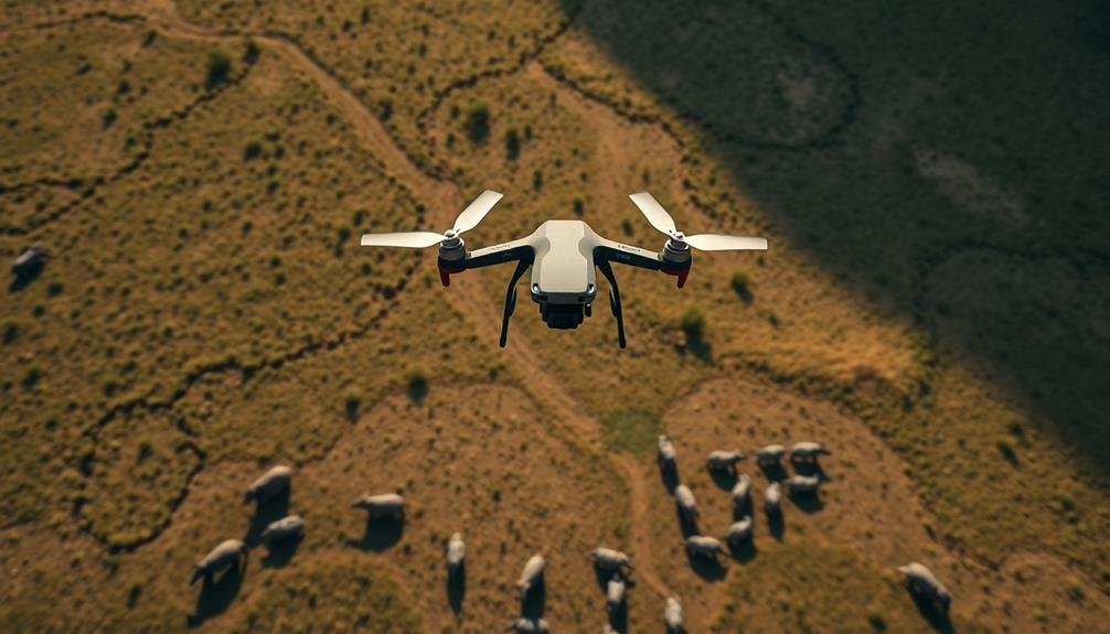
UAV technology's rapid advancement has revolutionized wildlife conservation efforts. When acquiring images for wildlife monitoring, you'll need to take into account several key factors.
First, choose the right type of UAV for your specific needs, whether it's a fixed-wing or multirotor drone. Fixed-wing models offer longer flight times and cover larger areas, while multirotors provide better maneuverability in confined spaces.
Next, select appropriate sensors and cameras. High-resolution RGB cameras are essential for visual surveys, while thermal cameras can detect animals in low-light conditions or dense vegetation. Multispectral sensors help analyze vegetation health, which indirectly affects wildlife habitats.
You'll also need to plan your flight paths carefully. Evaluate factors like altitude, speed, and overlap between images to guarantee thorough coverage.
Weather conditions play a vital role, so schedule flights during ideal times to avoid wind, rain, or extreme temperatures that could affect image quality.
Wildlife Detection Algorithms

Once you've acquired images from your UAV flights, the next vital step in wildlife conservation is to implement effective detection algorithms. These algorithms are designed to automatically identify and count animals in the collected imagery.
You'll find that machine learning techniques, particularly deep learning models like convolutional neural networks (CNNs), are at the forefront of wildlife detection.
To implement these algorithms, you'll need to train your model on a diverse dataset of labeled wildlife images. This process involves feeding the algorithm thousands of images with annotated animal locations. As you refine your model, you'll improve its ability to detect different species across various terrains and lighting conditions.
You'll also want to take into account using object detection frameworks like YOLO (You Only Look Once) or Faster R-CNN, which can identify multiple animals in a single image. These frameworks offer real-time processing capabilities, essential for analyzing large volumes of UAV footage efficiently.
Don't forget to validate your algorithm's performance using metrics such as precision, recall, and F1 score. Regular fine-tuning and updating of your model will guarantee it remains effective as environmental conditions change over time.
Habitat Mapping With Drones
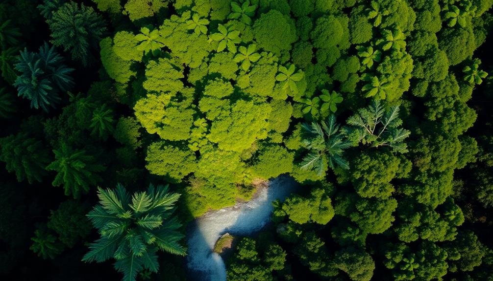
Numerous conservation efforts benefit from habitat mapping with drones. You'll find that UAVs equipped with high-resolution cameras and multispectral sensors can capture detailed imagery of wildlife habitats. These images allow you to create accurate, up-to-date maps of ecosystems, vegetation patterns, and land use changes.
When you're mapping habitats with drones, you'll typically fly pre-programmed routes to guarantee complete coverage. The data you collect can be processed using photogrammetry software to create 3D models and orthomosaics. You'll then analyze these outputs to identify key features like water sources, food availability, and potential threats to wildlife.
Drones offer several advantages over traditional mapping methods. You can access remote or dangerous areas more easily, collect data more frequently, and reduce costs associated with manned aircraft or satellite imagery.
You'll also minimize disturbance to wildlife during the mapping process.
Population Estimation Using UAVs

As wildlife managers seek more accurate and efficient ways to count animal populations, UAVs have emerged as a valuable tool. You'll find that these devices offer several advantages over traditional ground-based or manned aircraft surveys. UAVs can cover large areas quickly, access remote or dangerous locations, and minimize disturbance to wildlife.
To estimate populations using UAVs, you'll typically employ high-resolution cameras or thermal imaging sensors. These capture detailed imagery of animals in their habitats. You'll then use specialized software to analyze the images, counting individuals and identifying species. Machine learning algorithms can help automate this process, improving efficiency and reducing human error.
You'll need to take into account several factors when planning UAV population surveys. Flight altitude, speed, and pattern affect image quality and coverage. You'll also need to factor in animal behavior, habitat type, and environmental conditions. It's vital to validate your UAV-based estimates with ground-truthing methods to guarantee accuracy.
While UAVs offer significant benefits, they're not without limitations. Battery life, weather constraints, and regulatory issues can impact their use. However, as technology advances, you'll find UAVs becoming an increasingly essential tool in wildlife population estimation.
Ethical Considerations in Aerial Monitoring

While aerial monitoring offers significant benefits for wildlife conservation, it's essential to contemplate the ethical implications of this technology. You must consider the potential stress and disturbance caused to animals by UAV presence. Even if the impact seems minimal, repeated exposure could alter their behavior or habitat use.
You should also be aware of privacy concerns when conducting aerial surveys. While your focus is on wildlife, you might inadvertently capture images of people or private property. It's critical to have strict protocols in place for data handling and deletion of any non-target imagery.
Consider these key ethical points:
- Minimize wildlife disturbance by optimizing flight paths and timing
- Guarantee data security and privacy protection for all collected imagery
- Obtain necessary permits and adhere to local regulations
You'll need to balance the potential benefits of aerial monitoring with these ethical considerations. By addressing these concerns proactively, you can maximize the positive impact of UAV technology in wildlife conservation while minimizing potential harm.
Frequently Asked Questions
How Do Weather Conditions Affect UAV Performance in Wildlife Surveys?
Weather conditions greatly impact your UAV's performance in wildlife surveys. You'll face challenges with wind, rain, and extreme temperatures. They'll affect flight stability, battery life, and image quality. You'll need to plan carefully and adjust operations accordingly.
What Are the Battery Life Limitations for Drones Used in Conservation?
You'll find that drone battery life varies widely, typically ranging from 20-60 minutes. It's essential to plan your conservation flights accordingly. You'll need to take into account factors like payload, weather conditions, and flight patterns.
How Does UAV Noise Impact Animal Behavior During Aerial Monitoring?
UAV noise can greatly disturb animals during aerial monitoring. You'll notice they may flee, hide, or alter their behavior. It's essential you choose quieter drones and maintain higher altitudes to minimize stress on wildlife populations.
Can UAVS Be Used for Anti-Poaching Efforts in Protected Areas?
Yes, you can use UAVs for anti-poaching efforts in protected areas. They'll help you monitor large areas quickly, detect suspicious activities, and provide real-time information to rangers. You'll improve surveillance and response times against poachers.
What Training Is Required for Conservation Professionals to Operate UAVS Effectively?
You'll need training in UAV flight operations, safety protocols, and local regulations. Learn about wildlife behavior, image interpretation, and data analysis. Practice piloting skills and familiarize yourself with the specific UAV models you'll use in conservation efforts.
In Summary
You've explored how UAVs revolutionize wildlife conservation. From image acquisition to detection algorithms, you've seen their potential for habitat mapping and population estimates. Remember, ethical considerations are essential as you implement these aerial monitoring techniques. By leveraging drone technology responsibly, you're enhancing your ability to protect endangered species and ecosystems. Keep pushing the boundaries of what's possible with UAVs, but always prioritize the well-being of the wildlife you're studying.
As educators and advocates for responsible drone use, we’re committed to sharing our knowledge and expertise with aspiring aerial photographers.


Leave a Reply