
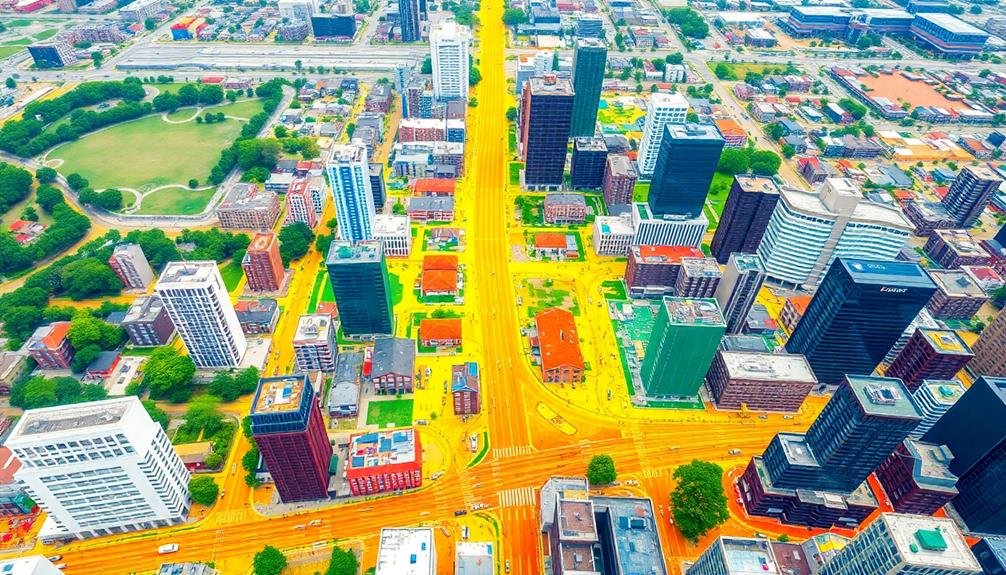
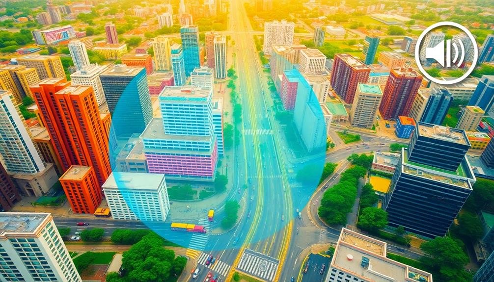
Mapping city noise is essential for understanding and managing urban soundscapes. You'll use specialized equipment like drones equipped with microphones and GPS to collect aerial sound data. This technology allows you to create detailed 3D noise visualizations, identifying patterns and hotspots across large areas. You'll consider factors like urban layout, time of day, and weather when planning your surveys. Data analysis involves transforming raw sound information into color-coded heat maps and interactive models. By pinpointing noise pollution sources, you can develop targeted strategies for mitigation. Dive deeper to uncover the intricate world of urban acoustic planning and its impact on city life.
Urban Noise Pollution Basics
In cities across the globe, noise pollution has become an inescapable part of daily life. You're constantly surrounded by a cacophony of sounds, from traffic and construction to loud conversations and blaring music. This constant bombardment of noise can have serious impacts on your health and well-being.
Urban noise pollution is typically measured in decibels (dB). Prolonged exposure to sounds above 85 dB can cause hearing damage. To put this in perspective, normal conversation is about 60 dB, while heavy traffic can reach 85 dB or more. Many cities have noise ordinances to limit excessive sound, but enforcement can be challenging.
Common sources of urban noise include transportation (cars, planes, trains), construction, industrial activities, and entertainment venues. The layout of a city can also affect noise levels, with tall buildings creating "urban canyons" that amplify and reflect sound.
You'll find that noise pollution isn't evenly distributed across urban areas. Lower-income neighborhoods often experience higher noise levels due to proximity to highways, airports, or industrial zones. This disparity highlights the environmental justice aspect of urban noise pollution.
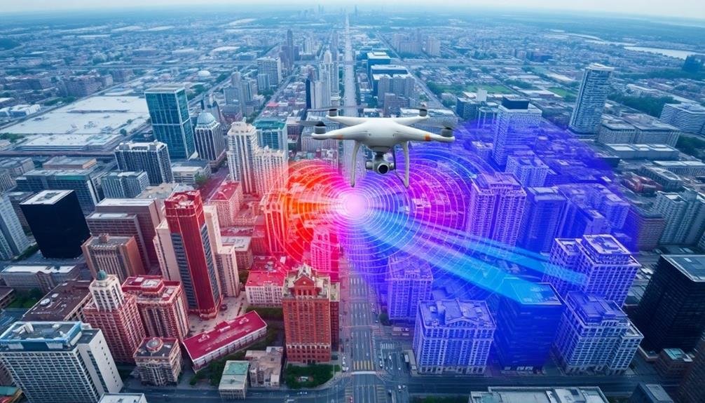
Drone Technology for Sound Mapping

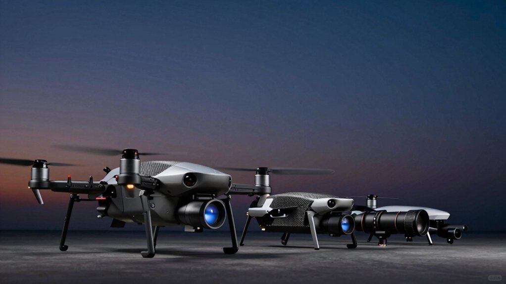
You'll find drones revolutionizing urban sound mapping through aerial sound data collection.
These flying sensors can capture noise levels across vast city areas quickly and efficiently.
The data they gather enables the creation of detailed 3D noise visualizations, helping you understand sound patterns and hotspots in urban environments.
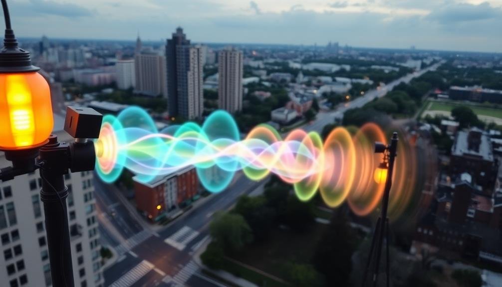
Aerial Sound Data Collection
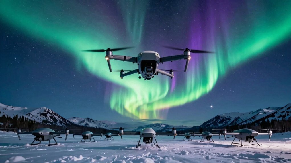
Drones have revolutionized the way researchers collect sound data in urban environments. You'll find that these unmanned aerial vehicles (UAVs) offer unique advantages for capturing acoustic information across large areas quickly and efficiently. They can hover at various altitudes, allowing you to record sound levels from different perspectives and create thorough 3D soundscapes.
When using drones for aerial sound data collection, you'll equip them with specialized microphones and GPS systems. This setup enables you to map noise patterns precisely to specific locations within the city. You can program flight paths to cover entire neighborhoods or focus on particular hotspots of interest.
One of the key benefits you'll notice is the ability to access areas that are difficult or dangerous to reach on foot. Drones can easily fly over busy highways, industrial zones, or construction sites, providing valuable data without risking human safety.
You'll also appreciate the time-saving aspect, as drones can cover vast urban areas in a fraction of the time it would take ground-based teams.
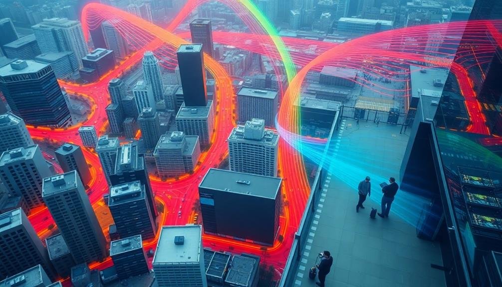
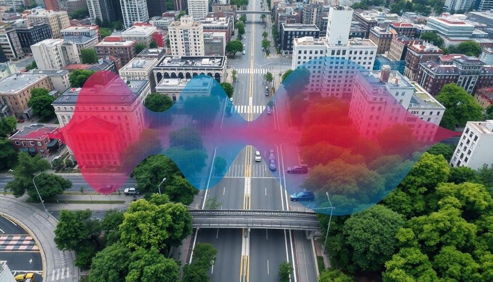
3D Noise Visualization Techniques
Transforming raw sound data into visually compelling maps is a crucial step in urban acoustic research. When you're working with drone-collected sound data, you'll need to employ specialized noise visualization techniques to create meaningful representations of urban soundscapes.
You'll start by processing the data using Geographic Information System (GIS) software. This allows you to overlay sound intensity levels onto city maps, creating color-coded heat maps that highlight noise hotspots. You can use interpolation methods like kriging to estimate sound levels between measured points, resulting in smooth, continuous visualizations.
3D modeling techniques are particularly effective for visualizing drone-collected data. You'll create three-dimensional sound maps that show how noise levels vary with altitude, helping you understand the vertical distribution of urban noise. These 3D models can be rotated and explored interactively, providing insights into noise propagation patterns around tall buildings and other urban structures.
To enhance your visualizations, you'll incorporate time-based animations that show how soundscapes change throughout the day. This dynamic representation helps you identify temporal patterns in urban noise, such as rush hour peaks or nighttime quiet periods.
Acoustic Sensors and Equipment
Researchers and urban planners rely on a variety of acoustic sensors and equipment to capture and analyze urban soundscapes. You'll find that sound level meters are essential tools, measuring decibel levels across different frequencies. These devices range from handheld units for spot checks to more advanced models with data logging capabilities for long-term monitoring.
Microphone arrays are vital for pinpointing sound sources and mapping noise distribution. You can use these arrays to create acoustic heat maps and identify problematic areas in urban environments. For continuous monitoring, you'll want to deploy weather-resistant outdoor microphones that can withstand various environmental conditions.
Don't forget about mobile acoustic measurement systems. These vehicle-mounted setups allow you to collect data while driving through urban areas, providing a thorough view of noise levels across different neighborhoods.
When it comes to data analysis, you'll need specialized software to process and visualize the collected information. These programs can help you create 3D sound maps, analyze frequency spectra, and identify patterns in urban noise.
Lastly, consider using smartphone apps and citizen science platforms to crowdsource noise data, engaging the public in urban soundscape research and awareness.
Flight Planning for Noise Surveys
When planning drone flights for urban noise surveys, you'll need to take into account route optimization to maximize coverage while minimizing flight time.
You should carefully select altitudes that balance noise detection accuracy with regulatory requirements and obstacle avoidance.
It's also essential to time your flights strategically, accounting for peak noise periods and minimizing disruption to residents.
Drone Route Optimization
Flight planning for noise surveys through urban environments requires careful drone route optimization to guarantee complete data collection. You'll need to evaluate several factors when designing your flight path.
First, map out the area you're surveying, identifying key noise sources and potential obstacles. Then, determine the ideal altitude for your drone to capture accurate sound measurements without interfering with urban infrastructure or violating airspace regulations.
Create a grid pattern that covers the entire survey area, guaranteeing overlapping flight paths for thorough coverage. Factor in battery life and plan for multiple flights if necessary.
Reflect on the time of day for your survey, as noise levels can vary greatly between peak and off-peak hours. You'll also want to account for weather conditions, as wind and precipitation can affect both drone performance and sound measurements.
Optimize your route to minimize flight time while maximizing data collection. Use waypoints to guide your drone efficiently through the urban landscape.
Don't forget to program your drone to hover at specific points for more detailed sound sampling. By carefully planning your route, you'll guarantee a successful and efficient urban noise survey.
Altitude and Timing Considerations
Two key factors in flight planning for urban noise surveys are altitude and timing. You'll need to carefully consider these elements to guarantee accurate data collection and minimize disruption to the community.
When it comes to altitude, flying too low can interfere with ground-level activities and potentially skew readings, while flying too high may result in less precise measurements. Aim for a sweet spot between 100 and 300 meters above ground level, adjusting based on your specific equipment and local regulations.
Timing is equally essential. You'll want to capture noise levels during various periods to get a thorough picture of the urban soundscape. Consider scheduling flights during:
| Time of Day | Advantages | Considerations |
|---|---|---|
| Early Morning | Less traffic noise | May disturb residents |
| Rush Hour | Peak noise levels | Air traffic congestion |
| Midday | Consistent activity | Heat affecting equipment |
| Evening | Varied noise sources | Limited daylight |
| Late Night | Baseline noise levels | Restricted flight hours |
Data Collection and Processing
Collecting and processing urban soundscape data requires meticulous planning and execution. You'll need to start by selecting appropriate sound recording equipment, such as high-quality microphones and portable audio recorders. Verify your devices can capture a wide range of frequencies and sound levels to accurately represent the urban environment.
When you're in the field, follow your predetermined sampling strategy, which should include various locations and times. Record metadata for each sample, including GPS coordinates, time, weather conditions, and notable events. You'll want to maintain consistent recording durations and settings across all samples for comparability.
Once you've gathered your data, it's time to process it. Use specialized audio analysis software to extract relevant acoustic parameters, such as sound pressure levels, frequency spectra, and temporal patterns. You'll need to clean your data, removing any artifacts or anomalies that could skew your results.
Next, organize your processed data into a structured database, linking it with corresponding metadata. This will allow you to perform spatial and temporal analyses, creating visual representations like noise maps and soundscape classifications.
Don't forget to validate your results against ground-truth measurements and existing noise models to verify accuracy.
Noise Level Analysis Techniques

You'll find several key tools for analyzing urban noise levels.
Sound Level Meters provide precise decibel measurements, while Noise Mapping Software helps visualize sound distribution across city areas.
For a deeper understanding of sound frequencies and characteristics, you can employ Spectral Analysis Tools to break down complex urban soundscapes.
Sound Level Meters
In recent decades, sound level meters have become essential tools for accurately measuring and analyzing noise levels in urban environments. You'll find these devices used by acousticians, environmental scientists, and urban planners to quantify sound intensity in decibels (dB).
Modern sound level meters offer various features to help you capture thorough data. They typically include different weighting scales (A, C, and Z) to mimic human hearing sensitivity. You'll also find time-weighting options (Fast, Slow, and Impulse) for analyzing different types of noise.
When using a sound level meter, you'll need to take into account several factors:
| Factor | Consideration |
|---|---|
| Calibration | Guarantee accuracy before use |
| Microphone position | Place correctly for reliable readings |
| Weather conditions | Account for wind and humidity |
| Background noise | Identify and isolate unwanted sounds |
Advanced sound level meters often include additional capabilities such as frequency analysis, data logging, and wireless connectivity. You can use these features to create detailed noise maps, track long-term trends, and share data with colleagues or regulatory bodies. By mastering the use of sound level meters, you'll be better equipped to assess and address urban noise pollution effectively.
Noise Mapping Software
Noise mapping software's evolution has revolutionized urban soundscape analysis. You'll find these powerful tools essential for creating detailed, color-coded maps that visualize noise levels across cities. They integrate data from various sources, including sound level meters, traffic patterns, and building layouts.
When you're using noise mapping software, you'll input collected sound data and relevant urban information. The software then processes this data, creating 2D or 3D models of noise distribution. You can easily identify hotspots, quiet zones, and areas exceeding legal noise limits.
Advanced features allow you to simulate different scenarios, such as the impact of new buildings or traffic changes on the urban soundscape. You'll also find options to predict future noise levels based on urban development plans.
Many noise mapping programs offer compatibility with Geographic Information Systems (GIS), enabling you to overlay noise data with other urban datasets. This integration helps you analyze relationships between noise and factors like population density or land use.
As you work with these tools, you'll appreciate their user-friendly interfaces and customizable outputs. They're invaluable for urban planners, acousticians, and policymakers in developing effective noise management strategies and improving city livability.
Spectral Analysis Tools
Spectral analysis tools have revolutionized the way we examine urban soundscapes. These powerful instruments allow you to break down complex sound environments into their constituent frequencies, giving you a detailed picture of the noise landscape.
When you're analyzing urban noise, you'll often use Fast Fourier Transform (FFT) analyzers. These tools convert time-domain signals into frequency-domain representations, enabling you to identify specific noise sources and their intensity levels. You'll find that some advanced spectral analysis software can even differentiate between various types of urban sounds, such as traffic, construction, or human activity.
Real-time spectrum analyzers are particularly useful for on-site assessments. They'll give you instant feedback on noise levels across different frequency bands, helping you pinpoint problematic sound sources quickly.
You can also use long-term spectral analysis to track changes in the urban soundscape over time, which is vital for evaluating the effectiveness of noise reduction measures.
Don't forget about octave band analyzers, which divide the frequency spectrum into standardized bands. They're essential for compliance testing and comparing results against regulatory standards.
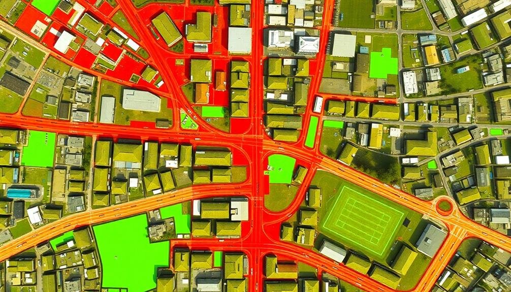
Creating Urban Soundscape Maps
Soundscape mapping has emerged as a powerful tool for visualizing and analyzing urban acoustic environments. To create an urban soundscape map, you'll need to collect data using sound level meters or microphones placed strategically throughout the city. These devices record sound pressure levels and spectral information at various locations and times.
Once you've gathered the data, you'll use Geographic Information System (GIS) software to overlay the acoustic information onto a city map. This process involves interpolating the data points to create a continuous surface of sound levels across the urban area. You can represent different sound intensities using color gradients, contour lines, or 3D visualizations.
When creating your map, consider incorporating temporal variations by producing multiple maps for different times of day or seasons. You might also include specific noise sources, such as traffic corridors, industrial zones, or entertainment districts.
To enhance the map's utility, add layers displaying land use, population density, or sensitive receptors like schools and hospitals. This all-encompassing approach will help urban planners, policymakers, and researchers better understand and manage the city's acoustic environment.
Identifying Noise Hotspots
With your urban soundscape map in hand, you're ready to pinpoint areas where noise levels exceed acceptable thresholds. These noise hotspots are essential for understanding the acoustic environment of your city and developing targeted mitigation strategies.
To identify noise hotspots, you'll need to:
- Analyze your soundscape data, comparing measured noise levels to local and national standards.
- Look for patterns in noise distribution, such as high-traffic areas or industrial zones.
- Take into account temporal factors, as noise levels often fluctuate throughout the day.
- Cross-reference noise data with land use information to understand context.
As you examine your map, pay attention to areas where noise levels consistently exceed 65 dBA during daytime hours or 55 dBA at night. These thresholds are commonly used to define noise pollution in urban environments.
You'll likely find hotspots near major roads, construction sites, airports, and entertainment districts.
Don't forget to take into account the impact of building heights and street canyons on noise propagation. Tall buildings can create echo effects, amplifying sound levels in unexpected areas.
Temporal Variations in City Sounds

Every city pulses with a unique rhythm, its soundscape shifting dramatically throughout the day and night. You'll notice these temporal variations as you explore urban environments, with each time period offering a distinct auditory experience.
During the early morning hours, you'll hear the city awakening. Birds chirp, delivery trucks rumble, and the hum of commuters gradually intensifies.
By mid-morning, the urban symphony reaches its crescendo, with traffic noise, construction sounds, and human voices blending into a cacophonous mix.
Lunchtime brings a brief respite in some areas, as office workers emerge onto streets and parks.
The afternoon sees a resurgence of activity, often peaking during rush hour. As evening approaches, you'll notice a shift in the soundscape. Traffic noise may decrease, while entertainment districts come alive with music and chatter.
Nighttime offers yet another acoustic landscape. In residential areas, you'll experience relative quiet, punctuated by occasional sirens or late-night revelers.
However, in bustling nightlife zones, the urban rhythm continues unabated, with sounds of revelry lasting into the early hours.
Mitigating Urban Noise Pollution
As cities grow louder, the need to address urban noise pollution becomes increasingly urgent. You're likely aware of the negative impacts excessive noise can have on your health and well-being.
Fortunately, there are several strategies you can employ to mitigate urban noise pollution in your environment.
First, consider implementing noise barriers in your home or workplace. These can include:
- Installing double-paned windows
- Using heavy curtains or soundproof drapes
- Adding weatherstripping to doors and windows
- Applying acoustic panels to walls and ceilings
You can also take steps to reduce noise at its source. Encourage your local government to enforce noise ordinances and implement traffic calming measures. Support initiatives that promote electric vehicles and quieter public transportation options.
Don't forget the power of green spaces in absorbing sound. Advocate for more parks, green roofs, and vertical gardens in your city. These not only help reduce noise but also improve air quality and overall urban livability.
Lastly, educate yourself and others about the importance of noise reduction. By raising awareness, you can contribute to creating a more peaceful urban environment for everyone.
Regulations and Compliance

Beyond individual efforts, regulations and compliance play an essential role in managing urban soundscapes. You'll find that most cities have noise ordinances in place to control excessive sound levels. These laws typically set limits on decibel levels and restrict noisy activities during specific hours, especially at night.
To enforce these regulations, local authorities often use sound level meters to measure noise violations. They may issue warnings or fines to individuals or businesses that exceed permitted noise levels. Some cities require construction sites to obtain noise permits and use sound barriers to minimize disruption to nearby residents.
You should be aware that many municipalities have adopted thorough noise codes that address various sources of urban noise, including traffic, industrial activities, and entertainment venues. These codes often include provisions for soundproofing requirements in new buildings and renovations.
Compliance with noise regulations isn't just about avoiding fines; it's vital for maintaining public health and quality of life. As a resident or business owner, you're responsible for understanding and adhering to local noise ordinances.
Future of Urban Acoustic Planning

What'll urban acoustic planning look like in the coming decades? As cities evolve, you'll see a shift towards more holistic and technologically advanced approaches to managing urban soundscapes.
You'll witness the integration of acoustic considerations into every stage of urban development, from initial design to ongoing maintenance.
Smart city technologies will play a vital role in shaping the future of urban acoustic planning. You can expect to see:
- AI-powered noise prediction models that simulate and forecast acoustic impacts of new developments
- Real-time noise monitoring systems using IoT sensors to provide instant data on urban sound levels
- Adaptive traffic management systems that optimize vehicle flow to reduce noise pollution
- Interactive public platforms allowing citizens to report and track noise issues in their neighborhoods
You'll also notice a growing emphasis on creating positive soundscapes rather than just reducing noise.
Urban planners will increasingly incorporate pleasant sounds, like water features and bird-friendly habitats, to enhance the acoustic environment.
As awareness of the health impacts of noise grows, you'll see stricter regulations and innovative solutions aimed at creating more livable, acoustically balanced urban spaces.
Frequently Asked Questions
How Does Urban Noise Affect Local Wildlife Populations?
Urban noise disrupts wildlife's natural behaviors. You'll notice it affects their communication, mating calls, and hunting patterns. It can drive animals away from habitats, reduce population sizes, and even alter their physical development over time.
Can Noise Mapping Help in Real Estate Valuation?
Yes, noise mapping can influence real estate values. You'll find quieter areas often command higher prices. It's a useful tool for buyers, sellers, and appraisers to assess a property's desirability and potential value based on noise levels.
What Role Does Building Design Play in Urban Noise Distribution?
Building design plays an essential role in urban noise distribution. You'll find that well-designed structures can block, absorb, or redirect sound waves. They'll impact how noise travels through cities, shaping the acoustic environment for residents and pedestrians.
How Do Cultural Events Impact City Soundscapes Throughout the Year?
Cultural events considerably alter your city's soundscape. You'll notice festivals bring music and crowds, while parades add marching bands and cheering. Seasonal celebrations introduce unique sounds, like fireworks or carolers, changing the urban acoustic landscape throughout the year.
Are There Any Health Benefits Associated With Certain Urban Sounds?
You'll find some urban sounds can benefit your health. Natural sounds like birdsong or flowing water can reduce stress and improve mood. Even certain ambient noises might boost focus and creativity in moderate doses.
In Summary
You've now got the tools to map your city's soundscape. By using drones, sensors, and smart planning, you're ready to collect and analyze urban noise data. Remember to take into account temporal variations and stay compliant with regulations. As you move forward, you'll play an essential role in mitigating noise pollution and shaping the future of urban acoustic planning. Your efforts will contribute to creating more livable, peaceful cities for everyone.
As educators and advocates for responsible drone use, we’re committed to sharing our knowledge and expertise with aspiring aerial photographers.
Leave a Reply