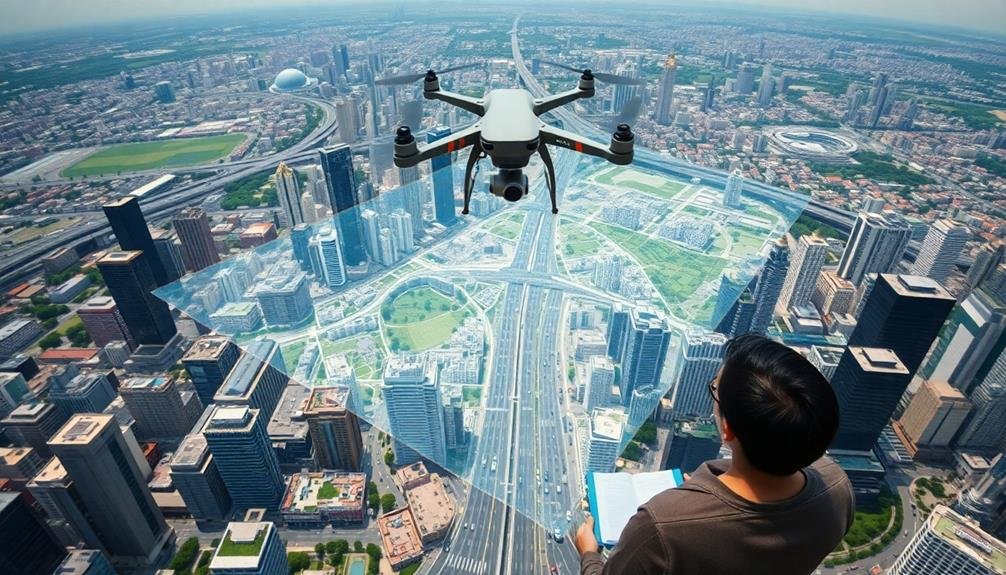
Drone imagery revolutionizes urban planning by offering cost-effective, high-resolution data collection. You'll get real-time insights into urban dynamics, traffic flow, and infrastructure conditions. These aerial views provide detailed 3D models and enable flexible, on-demand data gathering. You can track urban changes over time, estimate population density, and analyze land use patterns with unprecedented accuracy. Drones excel in emergency response planning and environmental analysis, helping you make informed decisions about urban development. They're safer and more efficient for inspecting hard-to-reach areas. By embracing drone technology, you'll reveal a wealth of possibilities for smarter, more responsive urban planning.
Cost-Effective Data Collection
Drones have revolutionized urban planning data collection, making it remarkably cost-effective. You'll find that these unmanned aerial vehicles greatly reduce the expenses associated with traditional surveying methods. By utilizing drones, you can capture high-resolution imagery and 3D data at a fraction of the cost of manned aircraft or satellite imagery.
You'll save on labor costs as well. A single drone operator can cover large areas quickly, eliminating the need for extensive ground crews. This efficiency translates to fewer work hours and reduced personnel expenses. Additionally, you won't need to invest in expensive specialized equipment or vehicles for on-site surveys.
Drones allow you to gather data more frequently, enabling you to track changes over time without breaking the bank. You can update your urban planning analyses regularly, ensuring you're always working with current information. This frequent data collection would be prohibitively expensive with traditional methods.
Furthermore, you'll minimize disruptions to urban life during data collection. Drones can operate without closing roads or disturbing residents, avoiding the indirect costs associated with traditional surveying techniques. This non-intrusive approach maintains productivity in the urban environment while you gather essential planning data.
Real-Time Urban Monitoring
You'll find that drones excel at capturing real-time urban dynamics.
With aerial imagery, you can detect and analyze urban changes as they occur, from new construction to landscape alterations.
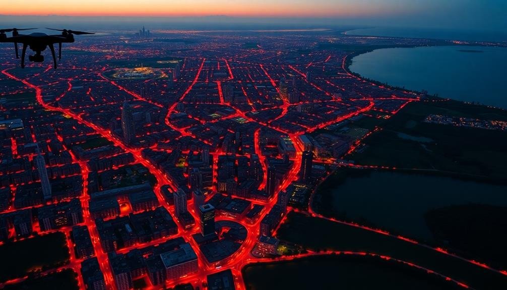
You can also leverage drone footage to study traffic patterns and flow, providing valuable insights for transportation planning and management.
Dynamic Urban Change Detection
Leveraging the power of real-time data, dynamic urban change detection has revolutionized the way city planners monitor and respond to urban developments. You'll find that drone imagery provides a cost-effective and efficient method for tracking changes in urban landscapes over time. By comparing sequential aerial images, you can identify new construction, demolitions, or alterations to existing structures with remarkable accuracy.
This technology allows you to:
- Detect unauthorized construction or zoning violations
- Monitor the progress of approved development projects
- Assess the impact of natural disasters or urban decay
You'll appreciate how dynamic urban change detection facilitates rapid response to emerging issues. Whether it's addressing illegal land use or updating city maps, you're equipped with timely information to make informed decisions.
Furthermore, you can use this data to validate building permits, enforce regulations, and guarantee compliance with urban planning policies. By integrating drone imagery into your urban planning workflow, you're not just reacting to changes; you're proactively shaping the future of your city.
This approach empowers you to maintain an up-to-date understanding of your urban environment and respond swiftly to the ever-evolving needs of your community.
Traffic Flow Analysis
Three key components make traffic flow analysis using drone imagery an invaluable tool for urban planners.
First, you'll gain real-time data on traffic patterns, allowing you to identify congestion hotspots and peak hours with unprecedented accuracy. This information helps you make informed decisions about road infrastructure improvements and traffic light timing adjustments.
Second, drone imagery provides a bird's-eye view of entire road networks, enabling you to analyze traffic flow across multiple intersections and corridors simultaneously. You'll spot bottlenecks and inefficiencies that might be missed from ground-level observations, leading to more thorough solutions for urban mobility.
Lastly, you can use drones to conduct before-and-after studies of traffic interventions. By comparing imagery from different time periods, you'll assess the effectiveness of implemented changes and make data-driven adjustments to your urban planning strategies.
With these capabilities, you'll optimize traffic management, reduce congestion, and improve overall urban mobility.
You can also use this data to inform public transportation planning, bicycle lane placement, and pedestrian infrastructure development, creating a more efficient and livable city for all residents.
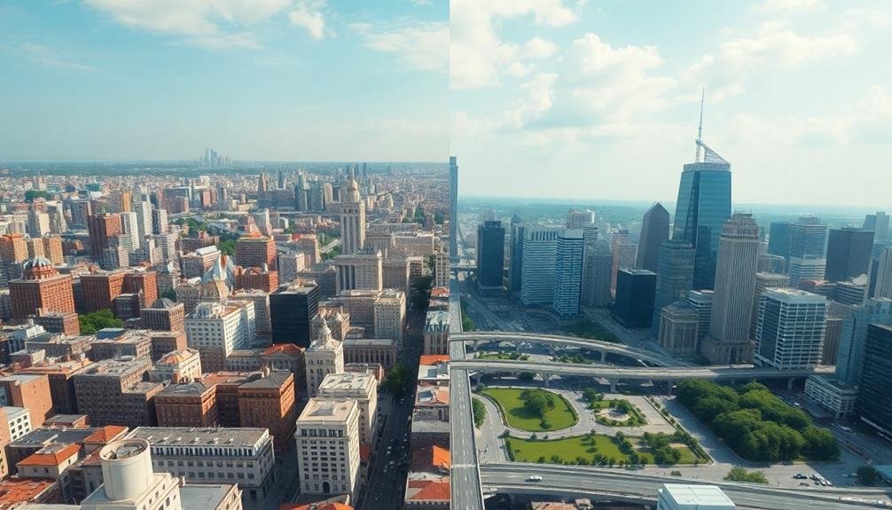
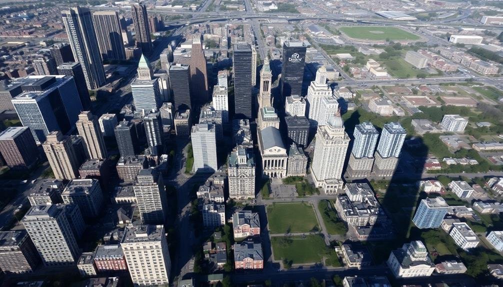
High-Resolution Aerial Imagery

One of the key advantages of using drones for urban planning is their ability to capture high-resolution aerial imagery. You'll get incredibly detailed views of urban landscapes, allowing you to see features that might be missed from traditional satellite imagery or ground-level surveys. This level of detail is essential for making informed decisions about urban development and infrastructure planning.
With drone imagery, you can:
- Identify small-scale features like individual trees, parking spaces, or even potholes
- Evaluate the condition of building roofs, facades, and other structures
- Detect changes in land use or vegetation cover over time
You'll find that high-resolution drone imagery provides a cost-effective way to gather up-to-date visual data for your urban planning projects.
It's particularly useful for monitoring construction progress, evaluating environmental impacts, and creating accurate 3D models of cityscapes. By using drones, you can quickly and easily capture images of areas that might be difficult or dangerous to access on foot.
This technology allows you to make more informed decisions about urban development, zoning, and infrastructure improvements, ultimately leading to better-planned and more livable cities.
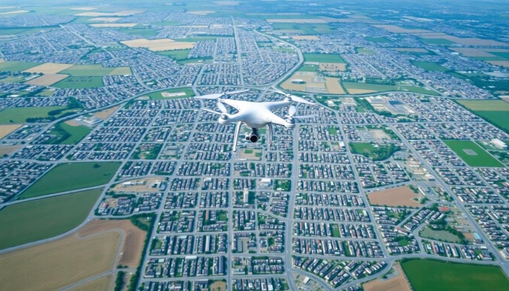
Flexibility in Data Acquisition
You'll find that drones offer unparalleled flexibility in urban data collection.
With adaptable flight patterns, you can easily adjust your survey routes to capture specific areas of interest or avoid obstacles.
You're able to rapidly gather data on-demand, allowing for timely analysis of urban environments as they evolve.
Adaptable Flight Patterns
Drones stand out in urban planning analysis due to their adaptable flight patterns, which allow for flexible data acquisition. You can easily customize flight paths to capture specific areas of interest, adjusting altitude, speed, and angle as needed.
This adaptability enables you to collect data from various perspectives, enhancing the quality and thoroughness of your urban analysis.
With adaptable flight patterns, you're able to:
- Navigate around obstacles like tall buildings or construction sites
- Capture detailed imagery of hard-to-reach areas
- Adjust flight plans on-the-fly based on real-time observations
You can program drones to follow predetermined routes or manually control them for spontaneous data collection.
This flexibility allows you to respond to changing conditions or unexpected discoveries during your urban planning analysis. You'll find that adaptable flight patterns considerably improve your ability to gather precise, targeted data.
Rapid Data Collection
In the domain of urban planning, rapid data collection has become a game-changer. Drones offer you an unparalleled advantage in gathering vast amounts of data quickly and efficiently. You'll find that these unmanned aerial vehicles can cover large urban areas in a fraction of the time it takes traditional ground-based survey methods.
With drones, you're able to capture high-resolution imagery and 3D data of entire neighborhoods or districts in just a few hours. This speed allows you to respond swiftly to changing urban landscapes and emerging planning challenges. You can quickly assess new developments, monitor construction progress, or evaluate the impact of natural disasters.
Moreover, drones enable you to collect data in hard-to-reach or dangerous areas without risking human safety. You'll appreciate the ability to inspect tall buildings, bridges, or congested urban centers with ease.
The rapid nature of drone data collection also means you can conduct repeated surveys over time, tracking urban changes and trends with unprecedented frequency and accuracy. This timely information empowers you to make more informed decisions and adapt your urban planning strategies in real-time.
Temporal Analysis of Urban Changes
Time-lapse drone imagery has revolutionized the way urban planners analyze city development over extended periods. You can now track changes in urban landscapes with unprecedented detail and frequency. By capturing aerial images at regular intervals, you'll create a visual timeline of urban growth, decline, or transformation.
This temporal analysis allows you to:
- Identify emerging patterns in land use and development
- Monitor the progress of construction projects and infrastructure improvements
- Assess the impact of urban policies and interventions over time
You'll gain valuable insights into how cities evolve, helping you make data-driven decisions for future planning. With drone imagery, you can easily compare before-and-after scenarios, quantify changes in green spaces, and evaluate the effectiveness of urban renewal projects.
You're no longer limited to static snapshots of urban environments. Instead, you can create dynamic visualizations that showcase the city's progression. This temporal perspective enables you to anticipate future needs, plan for sustainable growth, and address potential challenges before they become critical issues.
3D Modeling of Cityscapes
How can you transform flat aerial imagery into immersive 3D cityscapes? By leveraging drone-captured data and photogrammetry software, you'll create detailed 3D models of urban environments. These models offer an extensive view of the city's layout, building heights, and spatial relationships.
You'll start by flying drones in a grid pattern over the area, capturing high-resolution images with significant overlap. Then, you'll use specialized software to stitch these images together, identifying common points to create a point cloud. This cloud forms the basis of your 3D model, which you'll refine and texture for a realistic representation.
The resulting 3D cityscapes allow you to visualize proposed developments, assess sight lines, and analyze solar exposure. You can simulate various scenarios, such as new building constructions or infrastructure changes, to understand their impact on the urban fabric.
These models also enable virtual walkthroughs, giving stakeholders an immersive experience of potential urban designs. By integrating this 3D data with GIS systems, you'll enhance your urban planning toolkit, making more informed decisions about city development and zoning regulations.
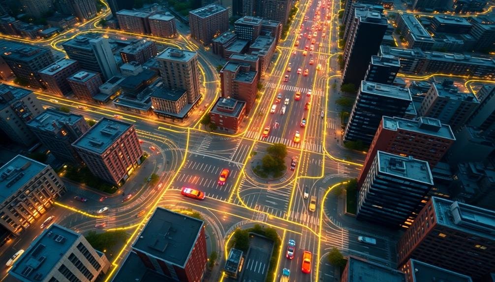
Traffic Flow Assessment

You'll find drones invaluable for real-time congestion monitoring, providing a bird's-eye view of traffic flow across the city.
This aerial perspective allows you to identify bottlenecks, accidents, and other disruptions as they occur, enabling swift responses to maintain smooth traffic movement.
Real-Time Congestion Monitoring
Through real-time drone imagery, urban planners can revolutionize traffic flow assessment and congestion monitoring. You'll be able to observe traffic patterns as they unfold, identifying bottlenecks and congestion hotspots instantly. This real-time data allows for immediate response to traffic issues, enabling you to implement dynamic traffic management strategies.
By utilizing drones for congestion monitoring, you'll gain a thorough view of your city's traffic situation. You can track vehicle speeds, density, and movement across multiple roads simultaneously. This bird's-eye perspective provides insights that ground-based sensors simply can't match.
Real-time drone imagery offers several advantages for congestion monitoring:
- Rapid deployment during unexpected events or emergencies
- Ability to cover large areas quickly and efficiently
- Flexibility to adjust monitoring zones based on changing traffic patterns
With this technology, you're equipped to make data-driven decisions on the fly. You can adjust traffic light timings, redirect vehicles through alternative routes, or deploy emergency services more effectively.
Traffic Pattern Identification
Building on real-time congestion monitoring, drone imagery excels at identifying long-term traffic patterns.
You'll find that drones can capture data over extended periods, allowing you to analyze traffic flow across different times of day, days of the week, and seasons. This thorough view helps you spot recurring bottlenecks, peak hours, and seasonal variations in traffic volume.
With drone imagery, you're able to track vehicle movements through intersections, roundabouts, and along major corridors.
This data reveals common routes, turning patterns, and areas where traffic frequently slows or stops. You'll also notice changes in traffic behavior during special events or construction periods.
Green Space Mapping
One of the most vital applications of drone imagery in urban planning is green space mapping. You'll find that drones can capture high-resolution aerial images of parks, gardens, and other green areas within cities. This data helps you evaluate the distribution, quality, and accessibility of green spaces across urban landscapes.
With drone imagery, you're able to:
- Identify areas lacking sufficient green spaces
- Monitor the health of existing vegetation
- Track changes in green cover over time
You can use these insights to make informed decisions about where to create new parks or expand existing ones. It's also useful for evaluating the impact of urban development on green spaces and ensuring equitable access to nature for all residents.
Drone imagery allows you to measure tree canopy coverage, detect diseased or stressed vegetation, and even identify invasive species. This information is fundamental for maintaining healthy urban ecosystems and planning targeted interventions.
Infrastructure Inspection
You'll find that drones revolutionize infrastructure inspection through efficient structural assessments, allowing for thorough evaluations in a fraction of the time compared to traditional methods.
These aerial devices enable you to examine inaccessible areas, such as high-rise buildings, bridges, and power lines, without endangering human inspectors.
Additionally, you can utilize advanced imaging technologies and AI-powered software for real-time defect detection, enhancing the accuracy and speed of identifying potential infrastructure issues.
Efficient Structural Assessments
In recent years, drones have revolutionized the way we conduct structural assessments for urban infrastructure. You'll find that these aerial devices offer a faster, safer, and more cost-effective method for inspecting buildings, bridges, and other structures.
By using drones, you can access hard-to-reach areas without putting workers at risk or disrupting daily operations. Drones equipped with high-resolution cameras and sensors can capture detailed imagery and data, allowing you to identify potential issues quickly.
You'll be able to spot cracks, corrosion, or other signs of damage that might be missed during traditional ground-based inspections. This technology also enables you to create 3D models of structures, providing an extensive view of their condition.
Here are some key benefits of using drones for efficient structural assessments:
- Reduced inspection time and costs
- Enhanced safety for inspection personnel
- Improved accuracy and data collection
Inaccessible Area Examination
While traditional inspection methods often fall short, drones excel at examining inaccessible areas of infrastructure. You'll find that these unmanned aerial vehicles can reach places that are dangerous or impossible for humans to access. They can fly close to tall structures, navigate through tight spaces, and hover steadily to capture detailed imagery.
With drones, you're able to inspect:
| Structure Type | Inaccessible Areas |
|---|---|
| Bridges | Undersides, Spans |
| Skyscrapers | Rooftops, Facades |
| Power Plants | Cooling Towers, Stacks |
| Dams | Spillways, Reservoirs |
By using drones, you'll reduce the need for scaffolding, cherry pickers, or rope access techniques. This not only saves time and money but also enhances safety for inspection personnel. You'll get high-resolution images and videos of hard-to-reach areas, allowing for thorough assessments without putting anyone at risk.
Moreover, drones can be equipped with thermal cameras and other specialized sensors to detect issues that aren't visible to the naked eye. You'll be able to identify structural weaknesses, leaks, or thermal anomalies in inaccessible areas, leading to more extensive and accurate urban planning analyses.
Real-Time Defect Detection
With real-time defect detection, drones are revolutionizing infrastructure inspection processes. You'll find that these aerial devices can quickly identify and report structural issues, saving time and resources.
By equipping drones with high-resolution cameras and advanced sensors, you're able to capture detailed imagery of buildings, bridges, roads, and other urban structures.
The real-time aspect allows you to make immediate decisions and take swift action when necessary. As the drone flies, it transmits live video feeds and data to your ground control station. This instant feedback enables you to spot potential hazards or areas of concern without delay.
You'll appreciate the ability to zoom in on specific areas, change flight paths on the fly, and even use thermal imaging to detect hidden issues.
Some key benefits of using drones for real-time defect detection include:
- Increased safety for inspection personnel
- Reduced inspection time and costs
- Enhanced accuracy and consistency in data collection
Urban Heat Island Analysis
Urban heat island analysis has become a significant application of drone imagery in urban planning. You'll find that drones equipped with thermal cameras can capture detailed temperature data across urban landscapes.
These aerial surveys allow you to identify hotspots and cool zones within cities, providing essential insights for mitigating the urban heat island effect.
By using drone imagery, you can pinpoint areas with excessive heat absorption, such as dark-colored roofs, parking lots, and areas lacking vegetation. This information helps you make informed decisions about where to implement green spaces, reflective surfaces, or urban forests to reduce heat accumulation.
You'll also be able to assess the effectiveness of existing cooling strategies and adjust your planning accordingly.
Drone-based thermal mapping offers higher resolution and more frequent updates compared to satellite imagery. You can easily monitor temperature changes over time, allowing you to track the impact of urban development on local microclimates.
This data is invaluable for creating climate-responsive urban designs, improving energy efficiency, and enhancing the overall livability of cities.
With drone imagery, you're better equipped to develop targeted solutions for managing urban heat and creating more sustainable, comfortable urban environments.
Population Density Estimation
In the domain of urban planning, population density estimation has become an essential application of drone imagery.
You'll find that drones equipped with high-resolution cameras and advanced sensors can capture detailed aerial images of urban areas, providing valuable data for estimating population distribution. This method offers significant advantages over traditional census techniques, as it's faster, more cost-effective, and can be updated more frequently.
When you use drone imagery for population density estimation, you'll be able to:
- Identify building types and sizes to infer occupancy rates
- Analyze vehicle density in residential areas as a proxy for population
- Detect nighttime light emissions to estimate inhabited areas
Emergency Response Planning
During emergency situations, drone imagery becomes an invaluable tool for urban planners and first responders. You'll find that drones can quickly survey affected areas, providing real-time data on the extent of damage, potential hazards, and the location of people in need of assistance. This information allows for more efficient resource allocation and faster response times.
You can use drone-captured imagery to:
| Emergency Planning Tasks | Benefits |
|---|---|
| Create evacuation routes | Identify clear paths |
| Assess infrastructure damage | Prioritize repairs |
| Locate stranded individuals | Guide rescue efforts |
| Monitor flood levels | Plan flood control measures |
Land Use Classification

Drone imagery's applications extend beyond emergency situations, offering powerful insights for land use classification. You'll find that drones provide a cost-effective and efficient way to gather high-resolution aerial data for analyzing urban landscapes. By capturing detailed images of buildings, roads, parks, and other features, you can accurately categorize land use types and identify patterns in urban development.
Using drone imagery for land use classification allows you to:
- Detect changes in land use over time
- Identify illegal or unauthorized land use activities
- Assess the effectiveness of zoning regulations
You'll appreciate the ability to create up-to-date land use maps quickly, which is essential for urban planners and policymakers. These maps help you make informed decisions about future development, infrastructure projects, and resource allocation.
Additionally, drone imagery enables you to monitor urban sprawl, track green space preservation, and assess the impact of urbanization on the environment. By leveraging this technology, you're better equipped to balance urban growth with sustainability goals and improve the overall quality of life in your city.
Urban Expansion Monitoring
Through urban expansion monitoring, you'll gain valuable insights into how cities grow and evolve over time. Drone imagery allows you to track urban sprawl, identify new developments, and assess the impact on surrounding ecosystems. You'll be able to measure the rate of expansion and predict future growth patterns, helping you make informed decisions about infrastructure and resource allocation.
| Time Period | Area Covered (km²) | Growth Rate (%) |
|---|---|---|
| 2010-2015 | 25.3 | 2.8 |
| 2015-2020 | 32.1 | 3.5 |
| 2020-2025 | 41.7 | 4.2 |
| 2025-2030 | 53.9 | 5.1 |
| 2030-2035 | 69.8 | 6.0 |
Frequently Asked Questions
How Do Privacy Concerns Impact the Use of Drone Imagery in Urban Planning?
You'll face challenges with privacy concerns when using drone imagery for urban planning. People worry about surveillance and data protection. You'll need to address these issues, guarantee compliance with regulations, and communicate transparently about your data collection practices.
What Are the Legal Restrictions for Operating Drones in Urban Environments?
You'll need to follow FAA regulations, including registering your drone, flying below 400 feet, maintaining visual line-of-sight, and avoiding restricted airspace. Local laws may also limit where and when you can operate drones in cities.
How Does Weather Affect Drone Imagery Collection for Urban Planning Purposes?
You'll find weather considerably impacts drone imagery collection. Rain, snow, and fog can obscure views, while strong winds may destabilize drones. Sunlight affects image quality, and temperature extremes can reduce flight time and equipment performance.
Can Drone Imagery Integrate With Existing Urban Planning Software and Tools?
Yes, you can integrate drone imagery with existing urban planning software. You'll find it seamlessly works with GIS tools, CAD programs, and 3D modeling software. It's easily imported, analyzed, and used to enhance your planning processes.
What Training Is Required for Urban Planners to Effectively Use Drone Imagery?
To effectively use drone imagery, you'll need training in drone operation, data processing, and GIS software. You should also learn about image analysis, remote sensing principles, and relevant regulations. Specialized courses or workshops can provide these skills.
In Summary
You've seen how drone imagery revolutionizes urban planning analysis. It's cost-effective, real-time, and high-resolution. You can flexibly collect data, track changes over time, and estimate population density. It's invaluable for emergency planning and land use classification. You'll find it essential for monitoring urban expansion. By embracing drone technology, you're equipping yourself with a powerful tool to shape smarter, more responsive cities. Don't hesitate to incorporate this innovative approach into your urban planning strategies.
As educators and advocates for responsible drone use, we’re committed to sharing our knowledge and expertise with aspiring aerial photographers.


Leave a Reply