
Urban shadow mapping revolutionizes city planning by offering precise insights into how buildings affect sunlight and shade patterns. You'll find this technology essential for optimizing urban layouts, enhancing energy efficiency, and improving public spaces. It analyzes solar access, seasonal shadow shifts, and helps mitigate urban heat island effects. By integrating drone technology and 3D modeling, planners can visualize and adjust designs before construction begins. This data-driven approach leads to more livable, sustainable cities with strategically placed green spaces and solar panels. Discover how this sky-high perspective is shaping the future of urban development and community well-being.
Shadow Mapping: Advancing Urban Planning

Countless urban planners are turning to shadow mapping as an invaluable tool for improving city design. You'll find this technique revolutionizing the way cities are developed, allowing for more precise and informed decision-making.
Shadow mapping provides a detailed analysis of how buildings and structures cast shadows throughout the day and year, helping you optimize urban layouts for sunlight exposure and energy efficiency.
With shadow mapping, you can visualize the impact of proposed developments on surrounding areas. This helps you identify potential issues like excessive shading on public spaces or neighboring properties.
You'll be able to adjust building heights, orientations, and placements to minimize negative effects and maximize natural light.
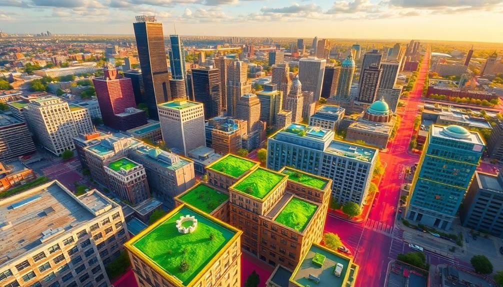
The technology also aids in creating more sustainable cities. You can use shadow maps to determine the best locations for solar panels, green spaces, and pedestrian-friendly areas.
By understanding how shadows move across the urban landscape, you'll design cities that are more livable, energy-efficient, and environmentally conscious.
Shadow mapping isn't just about aesthetics; it's a powerful tool for addressing urban heat islands, improving microclimates, and enhancing overall quality of life for city dwellers.
Drone Technology in City Design

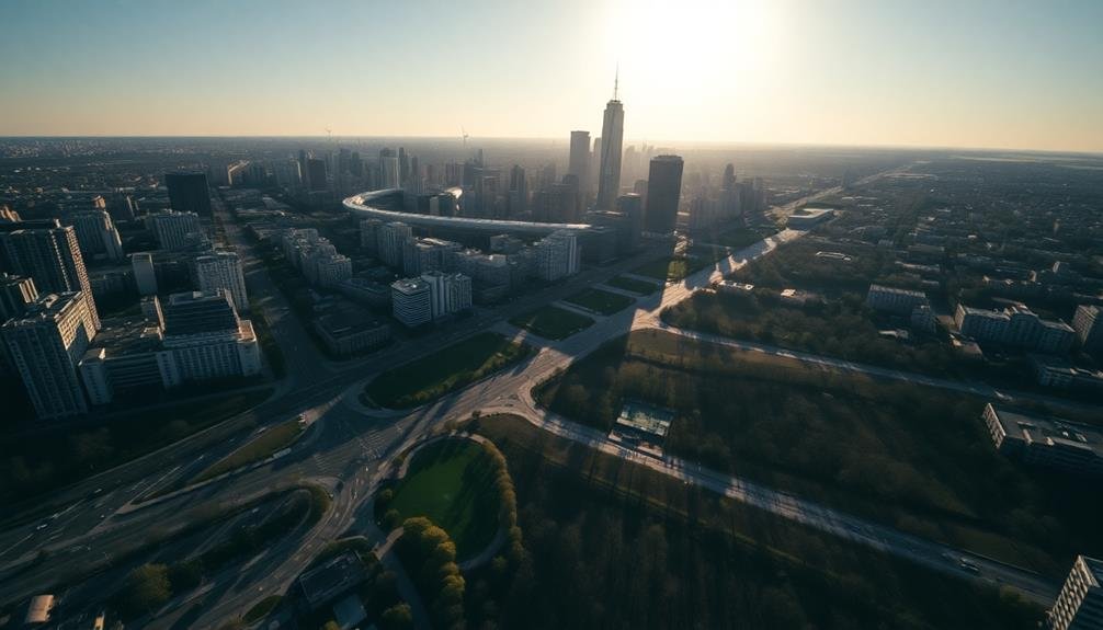
As urban planners embrace innovative technologies, drones have emerged as a game-changing tool in city design. You'll find these aerial devices revolutionizing the way cities are mapped, analyzed, and developed. Drones offer unparalleled access to hard-to-reach areas, providing high-resolution imagery and 3D modeling capabilities that were once time-consuming and costly to obtain.
With drone technology, you can quickly gather data on building heights, street layouts, and green spaces. This information is essential for creating accurate shadow maps and evaluating the impact of new developments on existing structures. You'll appreciate how drones can capture real-time data on traffic patterns, pedestrian flows, and urban heat islands, helping you make informed decisions about infrastructure improvements and sustainable design.
Moreover, you can use drones to monitor construction progress, inspect buildings for maintenance issues, and even simulate proposed architectural designs in their intended locations. This technology allows you to visualize and fine-tune urban plans before breaking ground, saving time and resources.
Analyzing Solar Access for Buildings

Solar access analysis is essential for optimizing building design and energy efficiency in urban environments. When you're evaluating solar access for buildings, you'll need to take into account several factors.
First, examine the building's orientation and how it affects sunlight exposure throughout the day and across seasons. You'll want to analyze potential obstructions, such as neighboring structures or natural features, that might cast shadows on the building.
Using 3D modeling software, you can create accurate simulations of sunlight patterns and shadow projections. These tools allow you to visualize how sunlight interacts with the building's facade and interior spaces.
You'll be able to identify areas that receive ample natural light and those that may require additional artificial lighting or design modifications.
Don't forget to evaluate the potential for solar energy harvesting. By analyzing solar access, you can determine the best locations for photovoltaic panels or solar thermal systems. This information helps you maximize the building's renewable energy potential.
Additionally, take into account how solar access impacts thermal comfort and energy consumption. Properly designed shading elements can reduce cooling loads in summer, while strategic placement of windows can enhance passive solar heating in winter.
Optimizing Public Space Utilization

Effective urban shadow mapping plays an essential role in enhancing public space utilization. By understanding how shadows move across public areas throughout the day and year, you can make informed decisions about placement and design of amenities. You'll be able to identify prime locations for seating areas, playgrounds, and outdoor dining spaces that receive ideal sunlight during peak usage hours.
Urban shadow mapping helps you create microclimates within public spaces. You can strategically position trees and structures to provide shade during hot summer months while allowing sunlight to penetrate during cooler seasons. This approach enhances comfort and encourages year-round use of outdoor areas.
You can also use shadow data to improve the placement of public art installations, ensuring they're visible and well-lit at key times. For urban agriculture initiatives, shadow mapping helps you select perfect spots for community gardens or rooftop farms.
Mitigating Urban Heat Island Effect
In your efforts to combat the urban heat island effect, you'll find that strategic placement of green spaces is essential.
You can leverage urban shadow mapping to identify ideal locations for parks, gardens, and tree-lined streets, maximizing their cooling impact.
Optimizing Green Space Placement
Urban planners' strategic placement of green spaces plays an essential role in mitigating the urban heat island effect.
You'll find that shadow mapping technology can greatly enhance this process, allowing for precise optimization of green space locations. By analyzing sun patterns and building shadows throughout the day and year, you can identify areas that receive excessive sunlight and heat.
With this data, you're able to pinpoint ideal spots for parks, urban forests, and green corridors. These areas will provide maximum cooling benefits and create comfortable microclimates for city dwellers.
You'll also be able to design green spaces that complement existing buildings, ensuring they don't interfere with solar access for nearby structures.
Consider these key factors when optimizing green space placement:
- Solar exposure patterns
- Existing building heights and configurations
- Prevailing wind directions
- Pedestrian traffic flows
- Proximity to heat-absorbing surfaces
Strategic Shade Creation
Through strategic shade creation, you can greatly reduce the urban heat island effect. By carefully planning and implementing shade structures, you'll mitigate excess heat absorption and improve overall urban comfort.
Start by analyzing sun patterns and identifying areas that receive intense sunlight during peak hours. These hotspots are prime candidates for shade interventions.
Consider a mix of natural and artificial shading solutions. Plant trees strategically along sidewalks and in open spaces, selecting species with broad canopies for maximum coverage.
Install green roofs and vertical gardens on buildings to absorb heat and provide insulation. For immediate impact, deploy shade sails, awnings, and pergolas in public spaces and pedestrian areas.
Utilize advanced materials like cool pavements and reflective coatings to further reduce heat absorption. Implement water features like fountains and mist systems to create cooling microclimates.
Don't forget to incorporate shaded seating areas and transit stops to enhance public comfort.
Seasonal Shadow Patterns and Impact
As the Earth orbits the Sun, urban shadow patterns shift dramatically throughout the year, greatly impacting city life and infrastructure.
You'll notice these changes affect everything from energy consumption to pedestrian comfort. In winter, longer shadows can create cold, dark pockets in cities, while summer brings shorter shadows and increased sun exposure.
Understanding seasonal shadow patterns is essential for urban planners and architects.
You'll need to take into account how building designs and placements will impact surrounding areas throughout the year. This knowledge allows you to optimize solar access for energy efficiency, manage heat island effects, and create comfortable public spaces.
Here's what you might observe as seasons change:
- Longer shadows stretching across streets and parks in winter
- Increased glare on reflective surfaces during summer months
- Shifting patterns of shade on building facades
- Seasonal changes in natural light availability for indoor spaces
- Varying effectiveness of shade structures and tree placement
Future of Data-Driven Urban Development

In light of technological advancements, data-driven urban development is poised to revolutionize city planning and design. You'll see urban planners leveraging sophisticated shadow mapping tools to create more livable, sustainable cities. These tools will integrate real-time data on sun angles, building heights, and urban topology to enhance building placement and design.
As you look to the future, expect to see AI-powered algorithms that can generate countless urban layout scenarios, each fine-tuned for sunlight exposure, energy efficiency, and quality of life. You'll witness the rise of "smart shadows" – dynamic building facades and public spaces that adapt to changing light conditions throughout the day and year.
Virtual and augmented reality will play a vital role, allowing you to visualize and experience proposed urban designs before they're built. This technology will enable more informed decision-making and public engagement in the planning process.
You'll also see the integration of shadow mapping with other urban data sets, such as traffic patterns, air quality, and social demographics, creating a holistic approach to city planning that balances multiple factors for superior urban environments.
Frequently Asked Questions
How Accurate Are Urban Shadow Maps Compared to Traditional Methods?
You'll find urban shadow maps are considerably more accurate than traditional methods. They use high-resolution data and advanced algorithms to provide precise shadow predictions, accounting for complex urban geometry and seasonal changes in sun position.
Can Shadow Mapping Help in Determining Property Values?
Shadow mapping can indeed influence property values. You'll find it helps determine sunlight exposure, which affects energy efficiency and livability. It's a valuable tool for real estate assessments, urban planning, and potential buyers' decision-making processes.
What Are the Privacy Concerns Associated With Drone-Based Shadow Mapping?
You should be aware of privacy concerns with drone-based shadow mapping. It can capture unwanted images of private spaces, potentially infringe on personal activities, and raise issues about data collection and storage. Always consider ethical implications.
How Does Shadow Mapping Integrate With Existing Urban Planning Software?
You'll find shadow mapping integrates seamlessly with urban planning software. It provides 3D data layers that you can overlay on existing maps. You'll use this data to analyze sunlight patterns, assess building impacts, and optimize city designs.
Are There Any Limitations to Shadow Mapping in Cities With Extreme Weather?
You'll find shadow mapping has limitations in extreme weather. It can't account for sudden changes like heavy snowfall or flooding. Thick cloud cover may also interfere with accuracy. You'll need to take these factors into account when relying on shadow data.
In Summary
You've seen how urban shadow mapping revolutionizes city planning. By embracing drone technology and advanced analytics, you're now equipped to design cities with precision. You'll optimize solar access, enhance public spaces, and combat urban heat islands. As you move forward, you'll create more livable, sustainable urban environments. Remember, the future of urban development is data-driven. It's up to you to harness these sky-high insights and shape tomorrow's cities.
As educators and advocates for responsible drone use, we’re committed to sharing our knowledge and expertise with aspiring aerial photographers.


Leave a Reply