Aerial technology has revolutionized wildfire impact assessment, giving you a bird's-eye view of destruction. Drones equipped with thermal cameras detect hidden hotspots, while advanced imaging techniques map burn zones with precision. You'll get real-time data transmission for quick decision-making and AI-powered analysis to categorize damage efficiently. Smoke penetration tech enhances visibility, and 3D modeling creates detailed reconstructions of affected areas. These tools enable rapid evaluation of environmental impacts, infrastructure damage, and recovery potential. They're essential for prioritizing restoration efforts and developing future prevention strategies. Exploring these innovations will reveal how they're shaping the future of wildfire management.
Aerial Drones: Eyes in the Sky
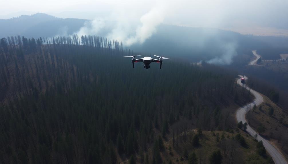
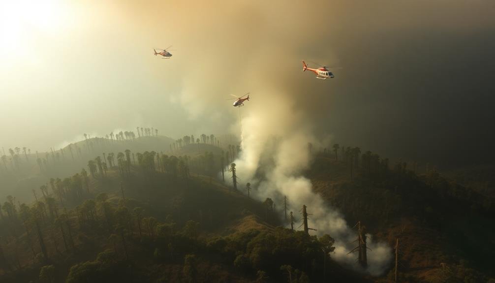
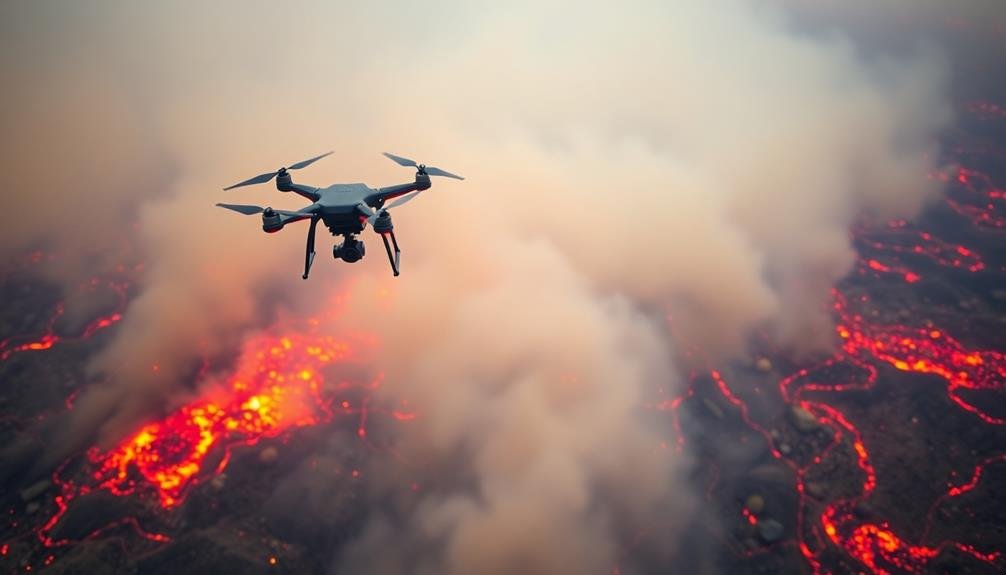
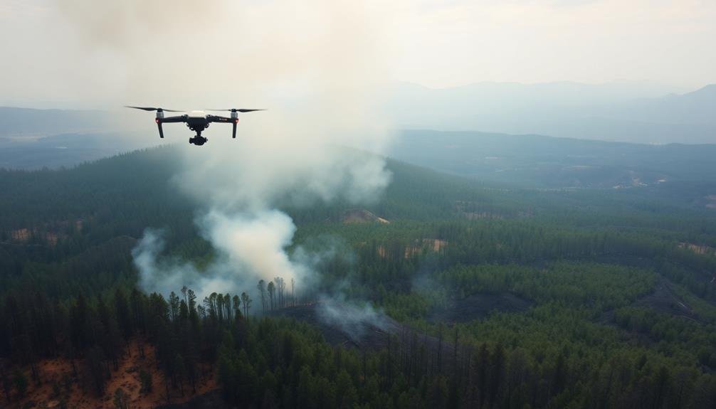
Soaring above the smoke-filled landscape, aerial drones have become indispensable tools in wildfire management. These unmanned aircraft provide you with real-time data and high-resolution imagery, helping you assess the fire's spread and intensity.
You'll find that drones equipped with thermal cameras can detect hotspots and embers hidden from ground-level view, allowing for more effective resource allocation.
As you deploy drones, you're able to survey large areas quickly and safely, without risking personnel in dangerous conditions. They'll help you map the fire's perimeter, identify potential fuel sources, and monitor fire behavior changes.
You can use this information to create accurate fire progression models and evacuation plans.
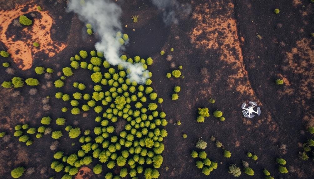
Drones also assist in post-fire assessment. You'll capture detailed images of the burned area, helping you evaluate environmental impact and plan restoration efforts.
They're particularly useful in accessing remote or hazardous terrain where ground surveys are challenging.
Mapping the Burn Zone
You'll find that aerial imaging techniques are essential for mapping wildfire burn zones effectively.
These methods allow you to capture high-resolution images of affected areas, providing a thorough view of the damage.
Aerial Imaging Techniques
Aerial imaging techniques play an essential role in mapping wildfire burn zones. You'll find that these methods provide vital data for evaluating damage and planning recovery efforts. Satellites, manned aircraft, and drones are the primary platforms used for capturing high-resolution images of affected areas.
Satellite imagery offers a broad view of the burn zone, allowing you to quickly identify the fire's extent. You can access both optical and radar images, with the latter being particularly useful for penetrating smoke and clouds.
Manned aircraft equipped with specialized cameras and sensors fly at lower altitudes, providing more detailed images. You'll often see these planes using multispectral and hyperspectral sensors to detect subtle differences in vegetation health and soil composition.
Drones have become increasingly popular for their ability to capture ultra-high-resolution images and access hard-to-reach areas. You can deploy them quickly and safely, making them ideal for real-time monitoring and rapid damage evaluation.
When analyzing the collected data, you'll use geographic information systems (GIS) to create detailed maps, overlay various data layers, and perform complex spatial analyses. These tools help you accurately quantify the burn area, evaluate vegetation loss, and identify areas at risk for erosion or flooding.
Burn Severity Classification
Classification of burn severity is an important step in mapping wildfire impacts. You'll find that experts use a combination of satellite imagery and ground-based observations to categorize the extent of damage. They typically employ a four-level classification system: unburned, low severity, moderate severity, and high severity.
To assess burn severity, you'll need to look for key indicators such as changes in vegetation, soil color, and ash presence. These factors help determine the fire's intensity and its effects on the ecosystem. You'll often use normalized burn ratio (NBR) indices derived from satellite data to quantify these changes.
Here's a table showcasing the emotional impact of different burn severity levels:
| Severity Level | Ecosystem Impact | Human Response |
|---|---|---|
| Low | Minimal damage | Relief |
| Moderate | Partial recovery | Concern |
| High | Extensive loss | Devastation |
Understanding burn severity classification is vital for post-fire management. It'll help you prioritize areas for immediate intervention, plan restoration efforts, and assess long-term ecological impacts. You'll find this information invaluable for making informed decisions about resource allocation and recovery strategies in the aftermath of a wildfire.
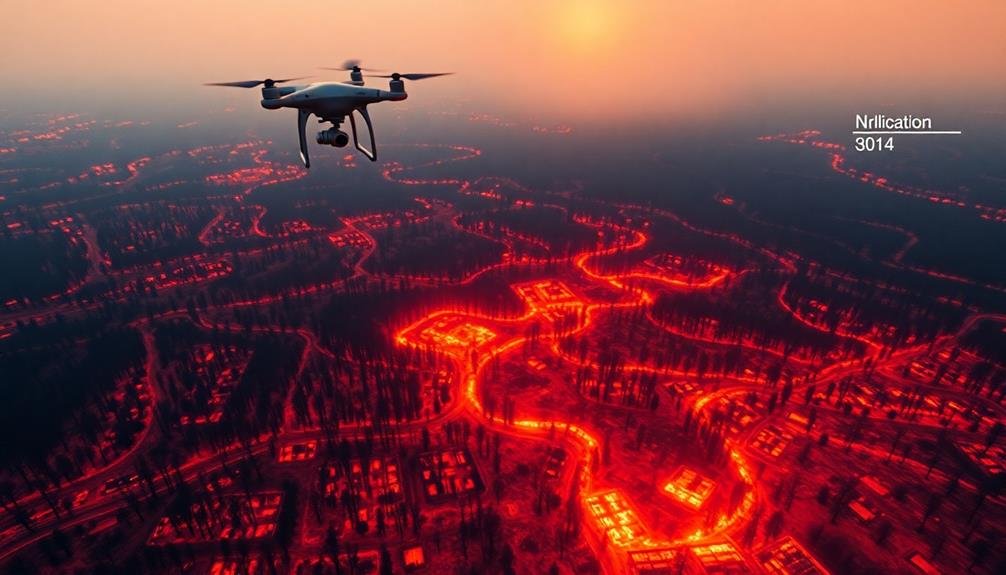
Thermal Imaging for Hotspot Detection
Thermal imaging technology has emerged as an indispensable tool in the fight against wildfires. You'll find that this advanced technique allows firefighters and emergency responders to detect hidden hotspots that aren't visible to the naked eye. By using infrared cameras, you can identify areas of high heat that may reignite, even after a fire appears to be extinguished.
When you're surveying a wildfire-affected area from the air, thermal imaging provides vital information about the fire's behavior and spread. You'll be able to see through smoke and darkness, pinpointing active fire fronts and potential flare-ups. This real-time data helps you make informed decisions about resource allocation and evacuation plans.
You'll also find thermal imaging useful for post-fire assessment. It can reveal underground heat sources, such as smoldering root systems, that could lead to new outbreaks.
Smoke Penetration Technology
Through the thick blanket of smoke, advanced penetration technology enables firefighters to gain essential visibility during wildfire operations. You'll find that these systems use specialized sensors and imaging techniques to cut through dense smoke, providing vital information about fire behavior and spread.
One of the most effective smoke penetration technologies you'll encounter is synthetic aperture radar (SAR). It uses radio waves to create detailed images of the ground, even when visibility is severely limited. You'll appreciate how SAR can detect changes in terrain, helping you identify new fire fronts or potential hazards.
Another tool at your disposal is light detection and ranging (LiDAR) technology. It uses laser pulses to create 3D maps of the affected area, giving you a clear picture of the landscape beneath the smoke. You'll find this particularly useful for evaluating fire damage and planning suppression strategies.
You'll also benefit from multispectral and hyperspectral imaging systems. These technologies capture data across various wavelengths of light, allowing you to see through smoke and identify active fire areas, burned regions, and at-risk zones with remarkable accuracy.
Real-Time Data Transmission

You'll find real-time data transmission essential for wildfire management.
Instant aerial footage sharing and live satellite imagery updates provide you with up-to-the-minute information on fire behavior and spread.
Rapid damage assessment tools enable you to quickly evaluate affected areas, facilitating faster response and resource allocation.
Instant Aerial Footage Sharing
As wildfires rage across landscapes, instant aerial footage sharing has become a game-changer in firefighting efforts. You'll find that drones and aircraft equipped with high-resolution cameras now transmit live video feeds to incident command centers and firefighters on the ground. This real-time visual data allows you to make quick, informed decisions about resource allocation and evacuation plans.
With instant aerial footage sharing, you're able to:
| Benefit | Impact | Example |
|---|---|---|
| Assess fire behavior | Predict spread patterns | Identify wind-driven spotting |
| Locate hotspots | Target suppression efforts | Direct water drops precisely |
| Monitor fire lines | guarantee containment | Spot breaches immediately |
You'll appreciate how this technology enhances situational awareness for all involved in firefighting operations. It's not just about seeing the fire; it's about understanding its dynamics. You can now track the fire's progression, identify threatened structures, and locate safe zones for firefighters. This rapid dissemination of visual information has revolutionized wildfire management, allowing you to respond more effectively to the ever-changing conditions on the ground.
Live Satellite Imagery Updates
While instant aerial footage provides invaluable on-the-ground perspectives, live satellite imagery updates have revolutionized wildfire monitoring on a broader scale.
You'll now have access to real-time data from orbiting satellites, offering a thorough view of fire progression and spread. These updates allow you to track multiple wildfires simultaneously, even in remote or inaccessible areas.
With live satellite imagery, you can:
- Monitor fire perimeters and their changes over time
- Assess smoke plume direction and intensity
- Identify potential risk areas for evacuation or resource allocation
You'll receive frequent updates, sometimes as often as every 10-15 minutes, depending on satellite coverage.
This near-real-time information helps you make informed decisions about firefighting strategies and resource deployment. You can also use this data to create predictive models, forecasting fire behavior based on current conditions and historical patterns.
Rapid Damage Assessment Tools
Three key rapid damage assessment tools have emerged to revolutionize real-time data transmission during wildfires. These tools enable you to quickly evaluate the extent of destruction and make informed decisions.
First, you'll find drones equipped with thermal imaging cameras invaluable. They'll help you detect hotspots and assess fire spread patterns, even through smoke. Second, you can utilize LiDAR technology to create detailed 3D maps of affected areas, allowing for precise damage quantification. Finally, AI-powered image analysis software will streamline your assessment process by automatically identifying damaged structures and infrastructure.
Here's a comparison of these tools:
| Tool | Speed | Accuracy | Cost |
|---|---|---|---|
| Drones | High | Medium | Low |
| LiDAR | Medium | High | High |
| AI Software | Very High | Medium-High | Medium |
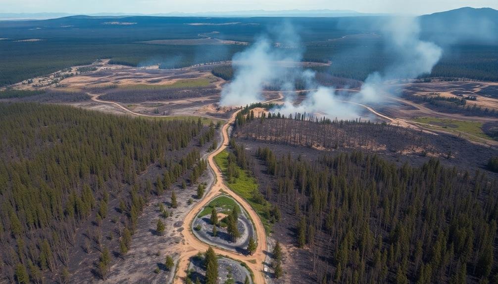
Forest Canopy Damage Assessment
Frequently, evaluating forest canopy damage is a vital step in gauging the impact of wildfires.
You'll find that aerial surveys and remote sensing technologies play an essential role in this process. By using high-resolution imagery and advanced sensors, you can quickly identify areas of severe canopy loss and determine the extent of fire damage across large forested regions.
When evaluating forest canopy damage, you'll typically focus on three key aspects:
- Burn severity: You'll analyze the degree of canopy consumption, ranging from light scorching to complete incineration.
- Spatial distribution: You'll map out the patterns of damage, identifying hotspots and areas of varying intensity.
- Species impact: You'll determine how different tree species have been affected, as some are more fire-resistant than others.
Wildlife Habitat Impact Analysis
You'll need to assess habitat loss to understand the full impact of wildfires on wildlife.
By tracking species displacement, you can gauge the extent of ecosystem disruption and identify vulnerable populations.
Evaluating recovery potential will help you prioritize conservation efforts and develop effective restoration strategies for affected areas.
Habitat Loss Assessment
In the wake of devastating wildfires, evaluating habitat loss becomes essential for understanding the long-term impact on wildlife. You'll need to assess the extent of damage using aerial surveys and satellite imagery. These tools provide a thorough view of the affected areas, allowing you to quantify the loss of vegetation, water sources, and shelter.
As you analyze the data, you'll identify:
- The total acreage of habitat destroyed
- Specific ecosystems most severely impacted
- Critical resources lost, such as nesting sites or food sources
You'll also need to reflect on the indirect effects of habitat fragmentation. Wildfires can create isolated patches of surviving habitat, making it difficult for animals to move between areas and access necessary resources.
This fragmentation can lead to decreased genetic diversity and increased competition for limited resources.
Species Displacement Tracking
Following the habitat loss assessment, tracking species displacement becomes essential for an extensive wildlife habitat impact analysis. You'll need to employ various methods to monitor wildlife movements and population shifts in the aftermath of wildfires. Satellite imagery, GPS tracking collars, and ground surveys are fundamental tools in this process.
To effectively track species displacement, you should:
- Identify key species affected by the wildfire
- Establish pre-fire baseline population data
- Monitor post-fire movement patterns
Here's a breakdown of common tracking methods:
| Method | Advantages | Limitations |
|---|---|---|
| Satellite Imagery | Wide coverage, cost-effective | Limited resolution for small species |
| GPS Collars | Precise location data, behavior insights | Expensive, limited sample size |
| Ground Surveys | Direct observation, habitat assessment | Time-consuming, labor-intensive |
You'll need to analyze the data collected to determine the extent of species displacement and identify potential new habitats or corridors. This information is essential for developing conservation strategies and guiding ecosystem restoration efforts. By understanding how different species respond to wildfire-induced habitat changes, you can better predict long-term ecological impacts and implement targeted recovery plans.
Recovery Potential Evaluation
Evaluating the recovery potential of wildfire-affected habitats is essential for long-term conservation planning. You'll need to assess various factors to determine how quickly and effectively an ecosystem can bounce back. This analysis involves examining soil conditions, remaining vegetation, and the presence of seed banks.
To conduct a thorough recovery potential evaluation, you should:
- Analyze satellite imagery and aerial photographs to identify areas of varying burn severity.
- Collect soil samples to assess nutrient levels and erosion potential.
- Survey surviving plant species and their distribution across the affected area.
You'll want to take into account the pre-fire ecosystem's characteristics and compare them to the current state. This comparison will help you predict the likelihood of natural regeneration and identify areas that may require human intervention.
Don't forget to factor in climate projections and potential changes in precipitation patterns, as these can greatly impact recovery rates.
Soil Erosion Risk Evaluation

After a wildfire, evaluating the soil erosion risk becomes essential. You'll need to assess various factors that influence erosion potential, including slope steepness, soil type, and vegetation loss. Using aerial surveys and satellite imagery, you can quickly identify high-risk areas and prioritize mitigation efforts.
When evaluating soil erosion risk, consider these key factors:
| Factor | Low Risk | Moderate Risk | High Risk |
|---|---|---|---|
| Slope | < 15% | 15-30% | > 30% |
| Soil Type | Clay | Loam | Sand |
| Vegetation Loss | < 25% | 25-75% | > 75% |
| Burn Severity | Low | Moderate | High |
You'll want to focus on areas with steep slopes, sandy soils, and high vegetation loss, as these are most susceptible to erosion. Don't forget to account for burn severity, as it affects soil structure and infiltration rates.
Once you've identified high-risk areas, you can implement erosion control measures such as mulching, seeding, or installing erosion barriers. By acting quickly, you'll help prevent further soil loss and protect downstream water resources from sedimentation and contamination.
Infrastructure Damage Identification
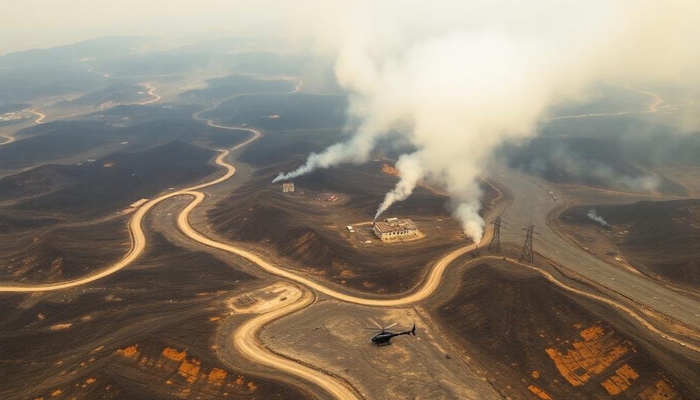
To identify infrastructure damage after a wildfire, you'll need to employ visual assessment techniques, often using aerial surveys or ground inspections.
You can then map the affected areas, highlighting key structures and utilities that have been compromised.
This extensive overview will help you prioritize recovery efforts, focusing resources on critical infrastructure that needs immediate attention.
Visual Assessment Techniques
Visual assessment techniques form the foundation of infrastructure damage identification following wildfires. You'll find these methods essential for quickly evaluating the extent of destruction and prioritizing recovery efforts. Aerial surveys, whether conducted by manned aircraft or drones, offer a thorough view of affected areas, allowing you to spot damaged structures, compromised power lines, and blocked roadways.
When conducting visual assessments, you'll want to focus on:
- Color changes: Look for scorched earth, blackened vegetation, and discolored building materials.
- Structural integrity: Identify collapsed roofs, crumbled walls, and toppled utility poles.
- Access issues: Spot fallen trees, debris-covered roads, and destroyed bridges.
You'll need to combine these visual cues with high-resolution imagery and geospatial data to create accurate damage maps.
Don't forget to use thermal imaging to detect lingering hotspots that might reignite. By employing a mix of visual assessment techniques, you'll be able to quickly gather critical information about infrastructure damage, helping emergency responders and recovery teams allocate resources effectively.
Mapping Affected Areas
Mapping affected areas serves as a critical next step in infrastructure damage identification following visual assessments. You'll find that this process involves creating detailed maps of the wildfire's impact on various infrastructure elements.
Using data collected from aerial surveys, satellite imagery, and ground observations, you can generate thorough maps that highlight damaged roads, buildings, power lines, and other critical structures.
These maps aren't just static images; they're dynamic tools that you can update in real-time as new information becomes available. You'll use Geographic Information Systems (GIS) software to overlay multiple data layers, allowing for a more nuanced understanding of the damage extent.
By incorporating pre-fire infrastructure data, you can quickly identify which structures have been affected and to what degree. You'll find these maps invaluable for coordinating recovery efforts.
They'll help you prioritize areas for immediate attention, allocate resources efficiently, and plan long-term reconstruction strategies. Additionally, you can use them to communicate the scope of damage to stakeholders, including government agencies, insurance companies, and the public, ensuring a more informed and coordinated response to the wildfire's aftermath.
Prioritizing Recovery Efforts
Recovery efforts demand a strategic approach once you've identified and mapped infrastructure damage.
You'll need to prioritize areas based on vital needs and available resources. Start by evaluating the damage to essential services like power lines, water systems, and communication networks. These form the backbone of a community's ability to function and recover.
Next, focus on public safety infrastructure such as roads, bridges, and emergency services facilities. Ensuring these are operational will facilitate the movement of people and resources during the recovery phase.
Don't forget to take into account the impact on healthcare facilities, as they'll be essential for treating any injuries and ongoing health issues related to the wildfire.
To effectively prioritize recovery efforts, you should:
- Create a tiered system ranking infrastructure based on importance and damage severity
- Establish a timeline for repairs, taking into account interdependencies between systems
- Coordinate with local authorities and utility companies to align efforts and resources
Recovery Planning From Above

How can aerial technology revolutionize wildfire recovery efforts? You'll find that drones and satellite imaging are transforming the way we assess and plan for post-fire restoration. These tools provide a bird's-eye view of the affected areas, allowing you to quickly identify priority zones and allocate resources more effectively.
With aerial surveys, you can:
- Map the extent of the damage
- Assess soil erosion risks
- Identify potential hazards like unstable slopes
Here's a breakdown of the key aerial technologies used in wildfire recovery planning:
| Technology | Benefits | Limitations |
|---|---|---|
| Drones | High-resolution imagery, real-time data | Limited flight time, weather dependent |
| Satellites | Large area coverage, frequent revisits | Lower resolution, cloud interference |
| Manned Aircraft | Flexible sensor options, human interpretation | Higher cost, scheduling constraints |
Drone Swarms for Extensive Coverage
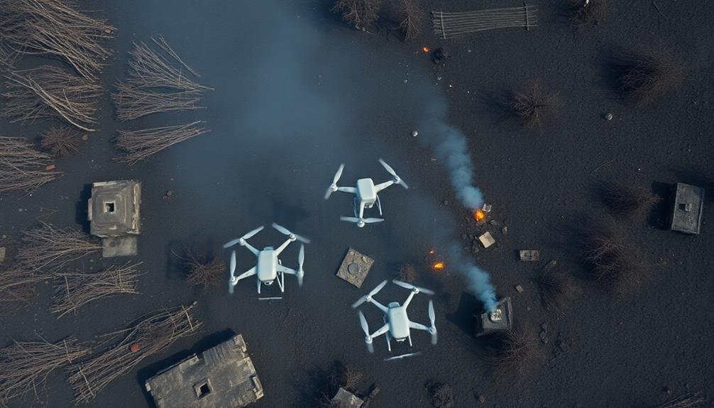
With the advent of drone swarm technology, you're now able to cover vast wildfire-affected areas more efficiently than ever before. These coordinated fleets of unmanned aerial vehicles work together, sharing data and dividing tasks to survey large swaths of land quickly and accurately.
You'll find that drone swarms offer several advantages over traditional survey methods:
- Speed: They can cover extensive areas in a fraction of the time it takes for ground-based teams or individual drones.
- Accuracy: By combining data from multiple sources, swarms provide a more thorough and precise evaluation of fire damage.
- Safety: They eliminate the need for human surveyors to enter potentially dangerous areas.
You can program these swarms to identify specific markers of wildfire impact, such as burnt vegetation, damaged structures, or erosion-prone areas.
They'll transmit real-time data back to your command center, allowing for immediate analysis and decision-making. This technology isn't just about evaluating damage; it's also essential for ongoing monitoring of recovery efforts and early detection of potential flare-ups.
AI-Powered Image Analysis
Artificial intelligence constantly enhances the efficiency of wildfire impact assessment through advanced image analysis. As you survey the aftermath of a wildfire using drone technology, AI algorithms process the vast amount of imagery data collected. These sophisticated systems can quickly identify and categorize damaged structures, burnt vegetation, and areas of high risk for future fires.
You'll find that AI-powered image analysis considerably reduces the time needed to assess wildfire impact. It can detect subtle changes in landscape features that might escape human observation, providing a more thorough understanding of the fire's effects.
The AI can also track the progression of vegetation regrowth over time, helping you monitor ecosystem recovery.
Moreover, you can use AI to compare pre-fire and post-fire imagery, quantifying the extent of damage with unprecedented accuracy. This technology enables you to generate detailed reports and maps, highlighting areas that require immediate attention or long-term restoration efforts.
3D Modeling of Affected Areas
While AI-powered image analysis provides valuable insights, 3D modeling of affected areas takes wildfire impact assessment to the next level. You'll find that these detailed digital reconstructions offer an extensive view of the destruction, allowing for more accurate damage assessments and better-informed recovery efforts.
Using data from drones, satellites, and ground surveys, you can create intricate 3D models that showcase:
- Topographical changes caused by the fire
- Structural damage to buildings and infrastructure
- Vegetation loss and potential erosion risks
You'll appreciate how these models help you visualize the extent of the damage and plan for reconstruction. They're invaluable tools for emergency responders, insurance adjusters, and urban planners alike. You can use them to identify high-risk areas, prioritize resources, and develop targeted restoration strategies.
Moreover, you'll find that 3D models are excellent for communicating the impact of wildfires to the public and policymakers. They provide a tangible representation of the devastation, which can be essential in securing funding and support for affected communities.
Long-Term Environmental Monitoring
Long-term environmental monitoring plays an essential role in understanding and mitigating the lasting effects of wildfires. You'll find that this process involves continuous data collection and analysis over extended periods, often spanning years or even decades. By tracking key indicators like soil composition, vegetation regrowth, and water quality, you can assess the ecosystem's recovery and identify potential long-term impacts.
You'll need to establish permanent monitoring sites within the affected areas, where you'll conduct regular surveys and collect samples. These sites should represent various terrain types and burn severities to provide a detailed picture of the wildfire's effects.
You'll use advanced technologies like remote sensing, LiDAR, and satellite imagery to complement on-the-ground observations, allowing for a more thorough and efficient monitoring process.
As you collect data, you'll analyze trends and patterns to inform land management decisions and restoration efforts. This information is vital for predicting future wildfire behavior, developing more effective prevention strategies, and adapting ecosystem management practices.
Frequently Asked Questions
How Do Aerial Surveys Compare to Satellite Imagery for Wildfire Assessment?
You'll find aerial surveys offer more detailed, real-time data compared to satellite imagery. They're flexible, allowing for low-altitude flights and multiple passes. However, they're costlier and cover smaller areas than satellites can.
What Safety Protocols Are in Place for Drone Operators During Surveys?
You'll follow strict safety protocols as a drone operator. You're required to maintain visual line of sight, avoid restricted airspace, and stay clear of emergency operations. You'll also need proper training and certification before conducting surveys.
How Do Weather Conditions Affect the Accuracy of Aerial Wildfire Surveys?
You'll find that weather can greatly impact your aerial survey accuracy. Wind can affect drone stability, smoke can reduce visibility, and heat can distort imagery. Rain and clouds might limit your flight options altogether.
Are There Legal Restrictions on Using Drones for Wildfire Damage Assessment?
You'll encounter legal restrictions when using drones for wildfire damage assessment. You're often required to obtain permits, follow FAA regulations, and avoid interfering with firefighting efforts. You can't fly in temporary flight restriction zones without authorization.
How Quickly Can Aerial Survey Data Be Processed for Emergency Response?
You'll find aerial survey data can be processed rapidly for emergency response. With advanced software, you're looking at near real-time analysis. Drones can transmit images instantly, while manned aircraft data's typically ready within hours.
In Summary
You've seen how aerial drones revolutionize wildfire impact assessment. They're your eyes in the sky, mapping destruction and detecting hotspots. With smoke-penetrating tech and real-time data, you'll stay ahead of the flames. Drone swarms and AI analysis give you extensive coverage and insights. You're not just surveying damage; you're creating 3D models and monitoring long-term environmental effects. Embrace this technology, and you'll transform how you understand and respond to wildfires.
As educators and advocates for responsible drone use, we’re committed to sharing our knowledge and expertise with aspiring aerial photographers.


Leave a Reply