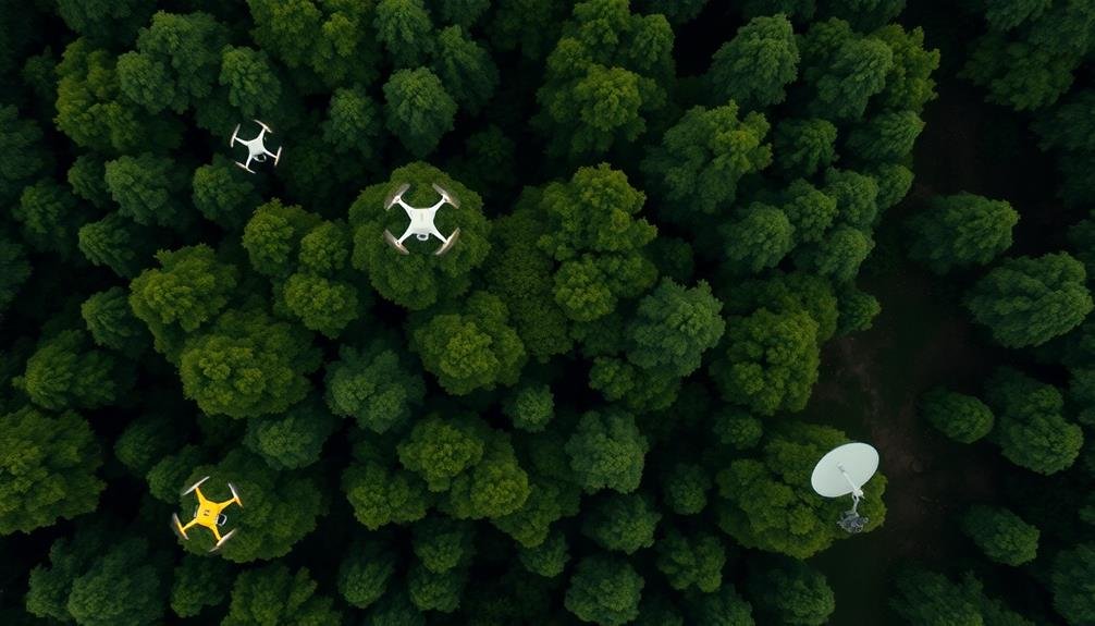
You'll revolutionize wildlife habitat surveys with these three cutting-edge remote technologies. Thermal imaging drones detect heat signatures of animals in dense vegetation or at night, minimizing disturbance. LiDAR-equipped UAVs provide precise 3D landscape mapping, measuring vegetation structure and terrain features with unprecedented accuracy. Multispectral sensor drones capture images across multiple spectral bands, enabling detailed vegetation analysis and habitat quality evaluation. These methods cover large areas quickly, access hard-to-reach locations, and offer non-invasive ways to study wildlife populations and migrations. By exploring these innovative approaches, you'll reveal new possibilities for thorough ecosystem monitoring and conservation efforts.
Thermal Imaging Drones
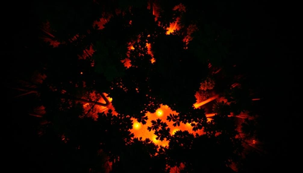
Advancements in drone technology have revolutionized wildlife habitat surveys. Thermal imaging drones have emerged as a game-changer in this field, allowing you to detect and monitor wildlife with unprecedented accuracy and efficiency. These unmanned aerial vehicles are equipped with high-resolution thermal cameras that can detect heat signatures of animals, even in dense vegetation or at night.
You'll find that thermal imaging drones offer several advantages over traditional survey methods. They're less invasive, reducing disturbance to wildlife and their habitats. You can cover large areas quickly, making them ideal for surveying vast landscapes or hard-to-reach locations. The thermal technology enables you to spot animals that might otherwise be camouflaged or hidden from view.
When using thermal imaging drones, you'll be able to identify different species based on their unique heat signatures and movement patterns. This data can be essential for population estimates, migration studies, and habitat use assessments.
You can also use these drones to detect poaching activities or track endangered species. However, it's important to follow local regulations and obtain necessary permits when operating drones for wildlife surveys.
LiDAR-Equipped UAVs
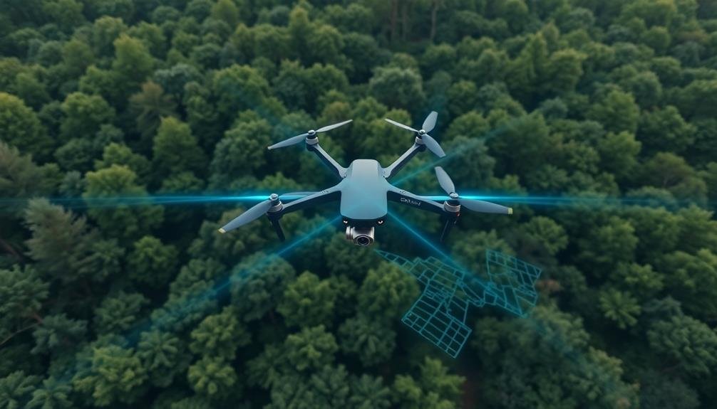
Another cutting-edge technology for wildlife habitat surveys is LiDAR-equipped UAVs. These unmanned aerial vehicles use Light Detection and Ranging (LiDAR) sensors to create highly detailed 3D maps of landscapes.
You'll find that LiDAR technology offers unprecedented accuracy in measuring vegetation structure, terrain features, and even individual trees.
When you're using LiDAR-equipped UAVs for wildlife habitat surveys, you'll benefit from:
- Precise canopy height measurements
- Detailed understory vegetation mapping
- Identification of small-scale terrain features
These capabilities allow you to assess habitat quality, detect changes over time, and identify potential wildlife corridors with remarkable precision.
You can cover large areas quickly and efficiently, even in challenging terrains where ground-based surveys would be impractical or dangerous.
LiDAR data can be combined with other remote sensing techniques, such as multispectral imaging, to provide a thorough understanding of habitat composition and health.
This integration of technologies enables you to make more informed decisions about wildlife management and conservation strategies.
As LiDAR technology continues to advance, you'll find it becoming an increasingly valuable tool in your wildlife habitat survey toolkit.
Multispectral Sensor Drones
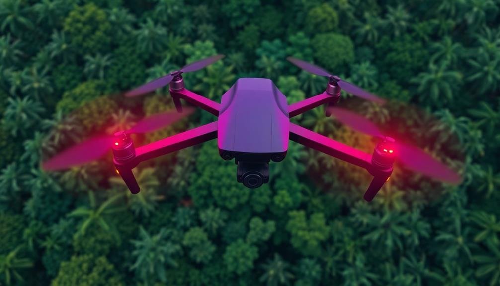
Ecological researchers are increasingly turning to multispectral sensor drones for wildlife habitat surveys. These advanced UAVs capture images across multiple spectral bands, including visible light and near-infrared. You'll find that this technology allows for detailed analysis of vegetation health, water quality, and land use patterns.
When you're using multispectral sensor drones, you can detect subtle changes in plant vigor and stress levels. This information is essential for evaluating habitat quality and identifying potential threats to wildlife populations. You'll be able to map invasive species, monitor the effects of climate change, and track seasonal variations in ecosystem health.
These drones offer significant advantages over traditional survey methods. You can cover large areas quickly and efficiently, accessing remote or dangerous locations with ease. The high-resolution data you'll collect can be processed to create detailed maps and 3D models of habitats. This information helps you make informed decisions about conservation efforts and land management strategies.
As you integrate multispectral sensor drones into your research, you'll discover new insights into ecosystem dynamics and wildlife behavior. This technology is revolutionizing the field of ecological monitoring, providing unprecedented levels of detail and accuracy in habitat evaluations.
Frequently Asked Questions
How Do Researchers Ensure Drones Don't Disturb Wildlife During Surveys?
You'll find researchers use several methods to minimize wildlife disturbance. They'll fly drones at higher altitudes, use quieter models, limit flight times, and avoid sensitive areas. They'll also study animal reactions to adjust their approach as needed.
What Legal Restrictions Apply to Using Drones for Wildlife Habitat Surveys?
You'll need permits for protected areas and species. Follow local airspace regulations and no-fly zones. Respect wildlife and privacy laws. Don't fly too close to animals. Check drone weight restrictions and operator licensing requirements.
How Accurate Are Remote Sensing Techniques Compared to Traditional Ground Surveys?
You'll find remote sensing techniques can be highly accurate, often matching or surpassing traditional ground surveys. They're especially effective for large areas, but accuracy varies based on technology used and environmental factors. Ground truthing's still important for validation.
Can These Technologies Be Used to Track Individual Animals Over Time?
You can use remote technologies to track individual animals over time. GPS collars, satellite tags, and camera traps allow you to monitor specific creatures' movements, behaviors, and patterns. It's an effective way to study wildlife without constant physical presence.
What Are the Costs Associated With Implementing These Remote Surveying Methods?
You'll find costs vary widely depending on the method. They can range from a few hundred dollars for basic camera traps to tens of thousands for high-end drones or satellites. Labor and data analysis expenses are also significant factors.
In Summary
You've now seen three cutting-edge methods for remote wildlife habitat surveying. By using thermal imaging drones, LiDAR-equipped UAVs, and multispectral sensor drones, you're able to gather essential data without disturbing animals or their environments. These technologies allow you to map habitats, track wildlife movements, and assess ecosystem health from afar. As you embrace these innovative tools, you'll contribute to more effective conservation efforts and gain deeper insights into the natural world around us.
As educators and advocates for responsible drone use, we’re committed to sharing our knowledge and expertise with aspiring aerial photographers.


Leave a Reply