You'll find cutting-edge precision seeding methods using high-tech flight systems transforming agriculture. Automated drone swarms efficiently distribute seeds across fields. GPS-guided droplet dispersal guarantees pinpoint accuracy. Multispectral imaging analyzes soil for ideal seed placement. AI algorithms create customized seeding patterns. Variable-rate seeding adapts to specific field conditions. Thermal mapping reveals vital soil composition data. LIDAR technology enables terrain-adaptive seeding for challenging landscapes. These advanced techniques minimize waste, boost crop yields, and enhance overall farm productivity. Discover how these innovative methods are revolutionizing modern farming and shaping the future of agriculture.
Automated Drone Swarm Seeding
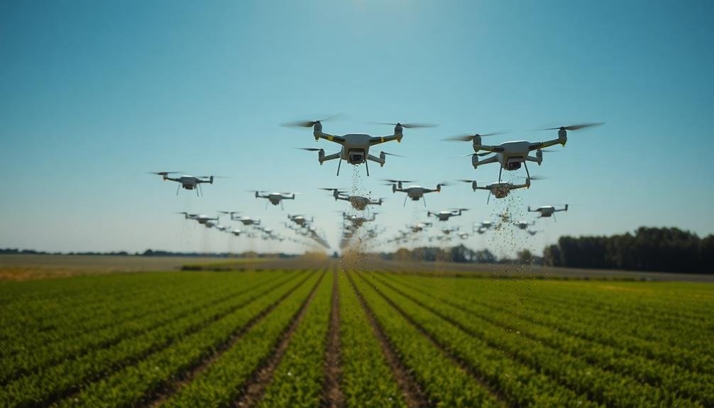
As technology advances, automated drone swarm seeding has emerged as a revolutionary method in precision agriculture. You'll find this approach particularly useful for large-scale operations or hard-to-reach areas.
Drone swarms consist of multiple unmanned aerial vehicles working in tandem to distribute seeds efficiently and accurately. These drones use GPS and advanced mapping technologies to navigate precisely over your fields. They're equipped with seed dispensers that can be programmed to release seeds at specific intervals and densities.
You'll appreciate how this method reduces labor costs and increases planting speed compared to traditional methods. One of the key advantages you'll notice is the ability to plant in difficult terrain or during suboptimal weather conditions. Drones can easily maneuver over obstacles and adjust their flight paths as needed.
You'll also benefit from their data collection capabilities, as they can simultaneously monitor soil conditions and plant health. To implement this system, you'll need to invest in a fleet of compatible drones and the associated software.
While the initial cost may be high, you'll likely see long-term savings in labor and increased crop yields due to improved precision.
GPS-Guided Precision Droplet Dispersal
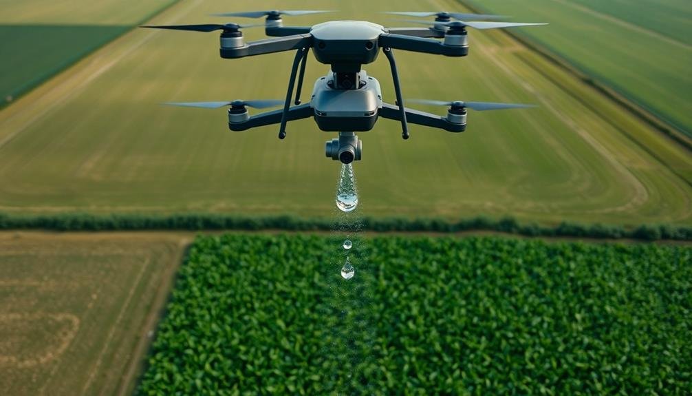
GPS-guided precision droplet dispersal takes automated seeding to an even more refined level. This technology allows you to disperse individual seeds with pinpoint accuracy, ensuring ideal spacing and placement for each crop type. You'll use drones or specialized aircraft equipped with GPS systems and precision droplet dispensers to achieve this level of control.
The system works by combining real-time GPS data with pre-programmed seeding patterns tailored to your field's specific needs. As the aircraft flies over your land, it releases seeds in precisely timed droplets, each guided to its exact intended location.
You can adjust droplet size, release velocity, and dispersal patterns to accommodate different seed types and soil conditions.
This method's advantages include reduced seed waste, improved germination rates, and more uniform crop growth. You'll also minimize the need for thinning later in the growing season.
The technology's accuracy allows you to create complex planting patterns, intercrops, or even "pixel farming" where different crops are planted in a grid-like arrangement.
While it requires a significant initial investment, GPS-guided precision droplet dispersal can lead to increased yields and more efficient use of resources in the long run.
Multispectral Imaging for Optimal Placement
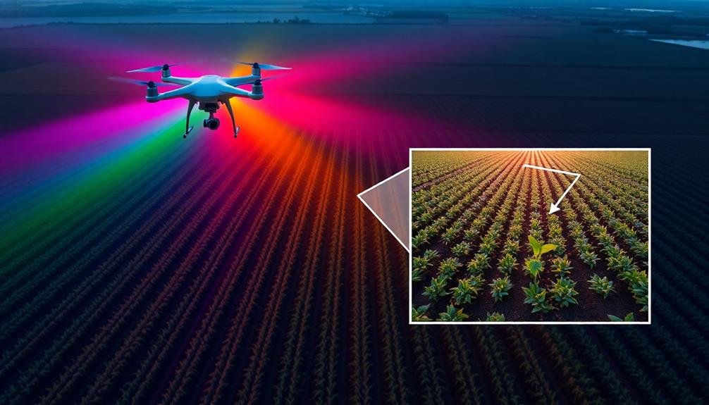
You'll find multispectral imaging to be a game-changer for superior seed placement.
This technology allows you to analyze soil nutrient content with remarkable precision, giving you a detailed map of your field's composition.
Armed with this information, you can identify ideal locations for each seed, ensuring they're placed in areas with the best conditions for growth and yield.
Analyzing Soil Nutrient Content
In recent years, multispectral imaging has revolutionized the way farmers analyze soil nutrient content for precision seeding. You'll find this technology invaluable for optimizing your crop yields and resource management.
By utilizing drones equipped with multispectral cameras, you can capture detailed images of your fields across various light spectrums. These images reveal essential information about soil composition, moisture levels, and nutrient distribution.
You'll be able to identify areas of nutrient deficiency or excess, allowing for targeted fertilizer application. This precision approach not only saves you money on inputs but also minimizes environmental impact.
To interpret the data, you'll use specialized software that analyzes the spectral signatures of different soil components. It'll generate color-coded maps highlighting variations in nitrogen, phosphorus, potassium, and other vital nutrients.
With this information, you can create variable-rate seeding plans tailored to specific field zones.
Identifying Ideal Seed Locations
Building on the soil nutrient analysis, multispectral imaging also plays a key role in identifying ideal seed locations. This advanced technology allows you to capture detailed information about your field's conditions, helping you make precise decisions about where to plant each seed.
Multispectral imaging uses various wavelengths of light to reveal information that's invisible to the naked eye. When you're looking for best seed placement, you'll focus on three key aspects:
- Soil moisture levels: Infrared bands can show you where water content is most favorable for seed germination.
- Organic matter distribution: Near-infrared reflectance helps identify areas rich in organic matter, which can support stronger plant growth.
- Topography and drainage patterns: Visible and near-infrared bands combine to create detailed elevation maps, highlighting areas prone to water pooling or erosion.
AI-Powered Seed Distribution Patterns
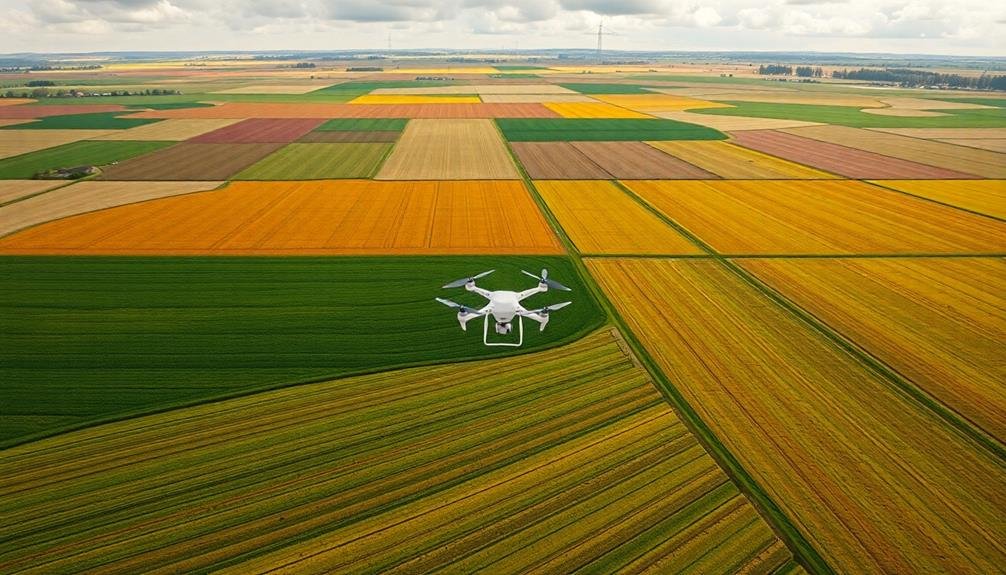
Artificial intelligence is ushering in a new era of precision seeding. AI algorithms now analyze vast datasets to determine ideal seed distribution patterns.
You'll find these systems can process information on soil types, moisture levels, topography, and historical crop yields to create customized seeding plans.
AI-powered drones use computer vision to identify the best spots for seed placement in real-time. They can adjust their flight paths and seeding rates on the fly, ensuring each seed has the best chance of germination.
You'll notice improved efficiency as these systems minimize seed waste and maximize crop potential.
Machine learning models continually refine seeding patterns based on outcomes from previous seasons. They'll factor in weather forecasts and climate trends to adapt strategies for changing conditions.
You can expect these AI systems to enhance plant spacing, accounting for factors like sunlight exposure and nutrient competition.
Variable-Rate Seeding With Drones
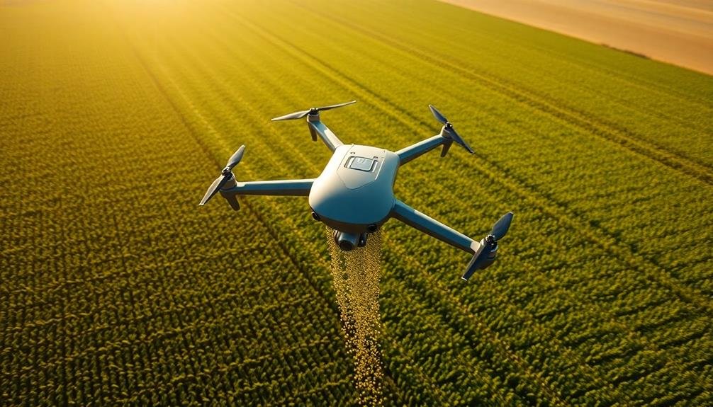
Drones equipped with variable-rate seeding technology are revolutionizing precision agriculture. You can now tailor seed distribution based on specific field conditions, maximizing crop yields and minimizing waste.
These advanced drones use GPS, sensors, and real-time data to adjust seeding rates on the fly, ensuring ideal plant populations across diverse soil types and topographies.
To implement variable-rate seeding with drones, you'll need to:
- Create detailed field maps using soil analysis, yield data, and topographical information
- Program your drone with seeding prescriptions based on these maps
- Monitor and adjust seeding rates in real-time as the drone flies over your fields
You'll find that this method offers several advantages over traditional seeding techniques. It allows for more precise seed placement, reduces seed waste, and improves overall crop performance.
Thermal Mapping for Soil Analysis
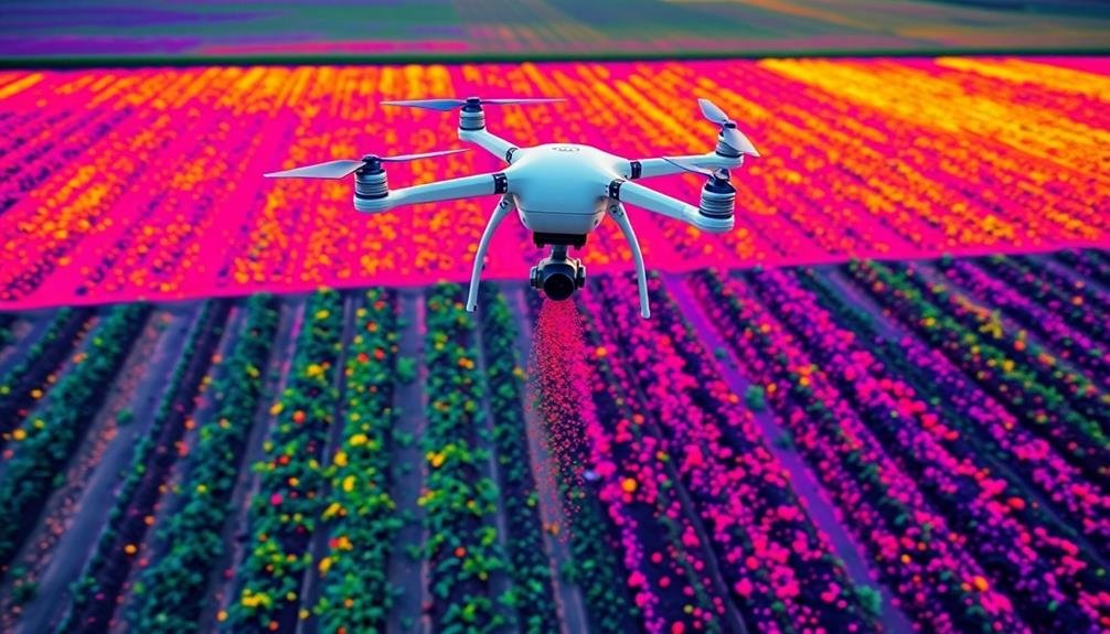
Three key benefits make thermal mapping an invaluable tool for soil analysis in precision seeding.
First, it allows you to detect soil moisture variations across your fields with remarkable accuracy. By identifying areas of high and low moisture content, you can adjust your seeding rates and depths accordingly, ensuring ideal germination conditions for each seed.
Second, thermal mapping helps you pinpoint temperature differences in your soil. This information is essential for determining the best planting times and selecting appropriate seed varieties for different areas of your field. You'll be able to avoid planting in cold spots that could hinder germination or slow early growth.
Lastly, thermal mapping can reveal subsurface soil composition changes. By detecting variations in heat retention and dissipation, you can identify areas with different soil types, compaction levels, or organic matter content.
This knowledge allows you to fine-tune your seeding strategy, adjusting seed placement and fertilizer application rates to match the specific needs of each soil zone.
LIDAR-Enhanced Terrain Adaptation Seeding
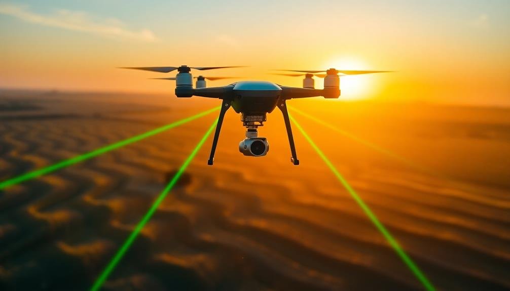
You'll find LIDAR technology revolutionizing precision seeding through its unparalleled terrain mapping accuracy.
By capturing detailed 3D topographical data, LIDAR enables you to optimize seed placement based on micro-variations in field elevation and slope.
This enhanced terrain adaptation allows for precise seed depth control and improved water management, ultimately leading to more uniform crop emergence and higher yields.
Terrain Mapping Accuracy
How accurate can terrain mapping be for precision seeding? With LIDAR-enhanced terrain adaptation seeding, you'll achieve remarkable accuracy in mapping your fields. This technology allows you to create highly detailed 3D models of your land, capturing even the subtlest variations in topography.
LIDAR sensors can measure distances with precision up to a few centimeters, providing you with an incredibly accurate representation of your terrain. This level of detail enables you to:
- Identify microtopography features that affect water flow and soil moisture
- Detect small obstacles or irregularities that might interfere with seeding
- Calculate exact slopes and contours for ideal seed placement
By leveraging this precise terrain data, you'll be able to adjust your seeding patterns in real-time, ensuring ideal seed distribution across your fields.
The accuracy of LIDAR mapping also allows for better planning of irrigation systems and helps you identify areas prone to erosion or water pooling.
With this technology, you're not just improving your seeding accuracy; you're gaining a thorough understanding of your land's characteristics, allowing for more informed decision-making throughout the growing season.
Seed Placement Optimization
LIDAR-enhanced terrain adaptation seeding takes precision agriculture to the next level by refining seed placement. This advanced technique uses high-resolution LIDAR data to create a detailed 3D map of your field's topography.
You'll be able to account for micro-variations in soil depth, moisture levels, and slope that traditional methods might miss.
With this technology, you can program your seeding drones to adjust their planting patterns in real-time. They'll deposit seeds at ideal depths and spacing based on the specific conditions of each square foot of your field.
You'll see improved germination rates and more uniform crop growth as a result.
The system also considers factors like soil composition, drainage patterns, and sunlight exposure.
It'll help you avoid overseeding in areas prone to waterlogging or underseeding in nutrient-rich pockets. You can even program it to vary seed types across your field, matching each variety to the most suitable micro-environments.
Frequently Asked Questions
What Are the Legal Requirements for Using Drones in Agricultural Seeding Operations?
You'll need to register your drone with the FAA, obtain a remote pilot certificate, and follow specific regulations for commercial use. Check local laws, respect privacy, and guarantee you're operating within permitted airspace and flight restrictions.
How Do Weather Conditions Affect the Accuracy of Precision Seeding Methods?
You'll find that wind, rain, and temperature greatly impact seeding accuracy. High winds can blow seeds off course, rain can clump them together, and extreme temperatures may affect seed viability. Always check weather forecasts before seeding operations.
What Is the Cost Comparison Between Traditional Seeding and High-Tech Flight Systems?
You'll find high-tech flight systems for seeding are initially more expensive than traditional methods. However, they're often more cost-effective long-term due to improved accuracy, reduced waste, and increased crop yields. Consider your specific needs and budget carefully.
Can These Systems Be Integrated With Existing Farm Management Software Platforms?
You'll find that many high-tech flight systems for seeding can be integrated with existing farm management software. They're designed to work seamlessly with popular platforms, allowing you to easily incorporate the data into your overall farm operations.
What Maintenance and Calibration Are Required for Precision Seeding Flight Systems?
You'll need to regularly clean and inspect your precision seeding flight system. It's essential to calibrate sensors, update software, and check mechanical components. Don't forget to replace worn parts and adjust settings for ideal performance.
In Summary
You've now explored cutting-edge precision seeding methods that leverage high-tech flight systems. By embracing these innovations, you'll revolutionize your farming practices. You're poised to boost crop yields, reduce waste, and optimize resource use. Don't hesitate to experiment with these technologies on your land. Remember, the future of agriculture is in your hands. It's time to take flight and sow the seeds of a more efficient, sustainable farming future.

As educators and advocates for responsible drone use, we’re committed to sharing our knowledge and expertise with aspiring aerial photographers.


Leave a Reply