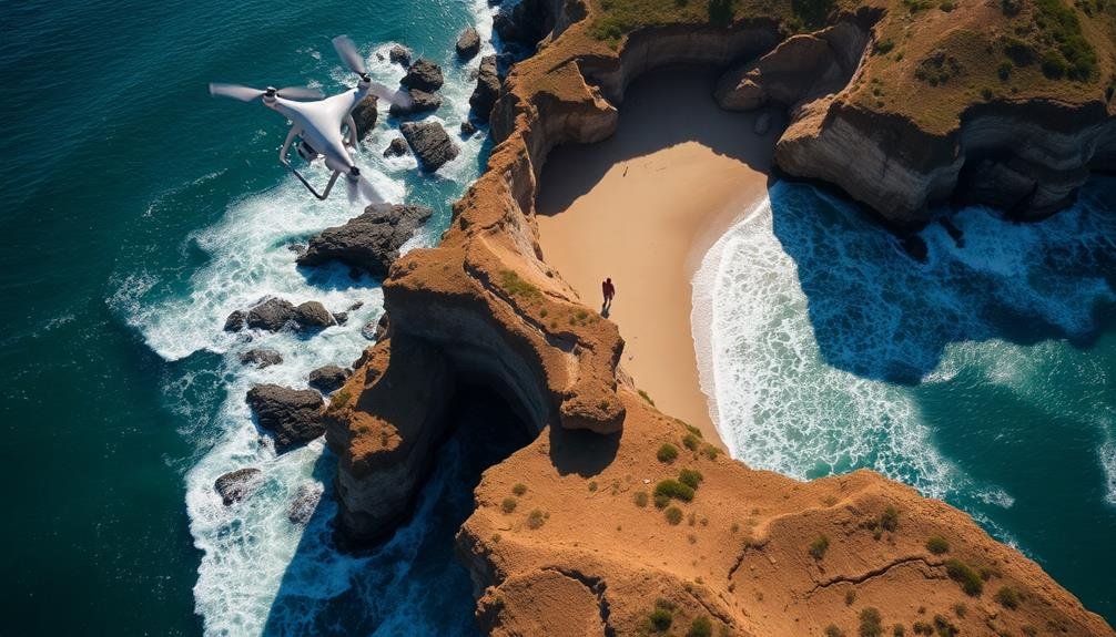
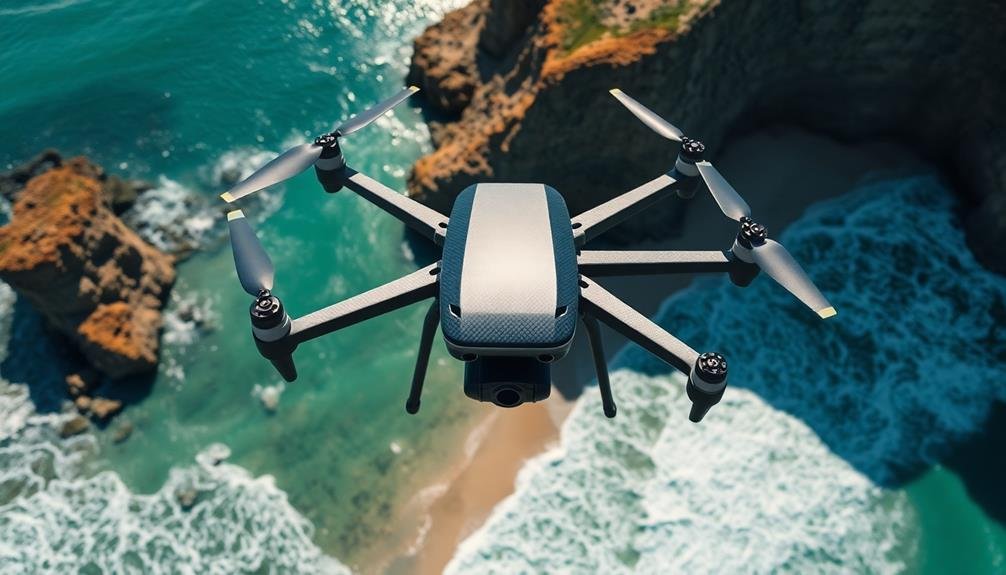
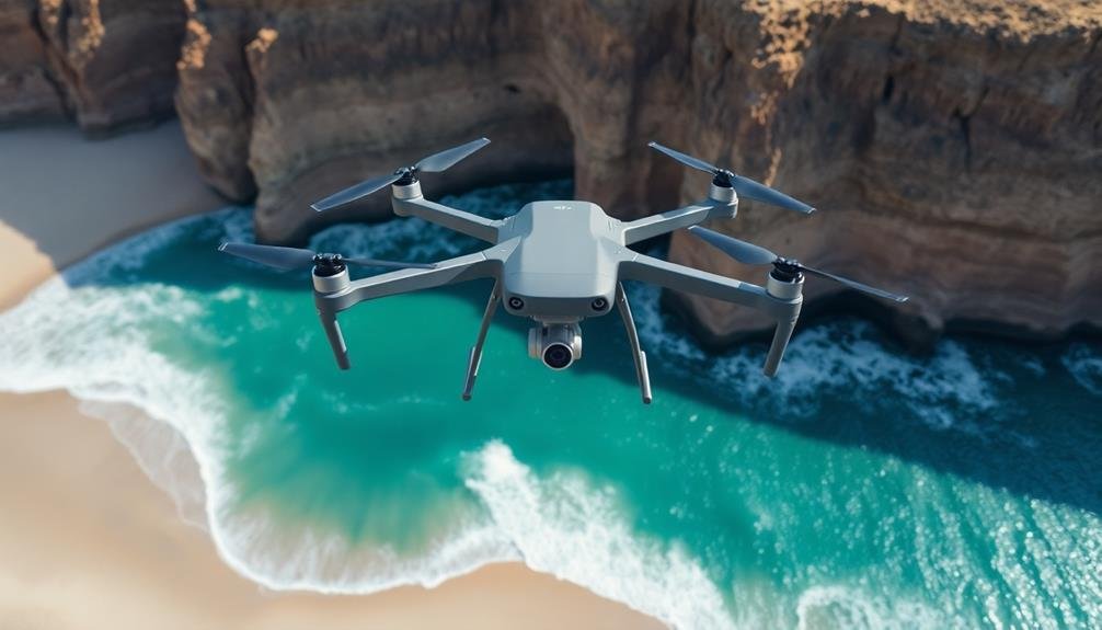
Drones have become invaluable tools for monitoring coastal erosion, offering a bird's-eye view of shoreline changes. They're equipped with high-resolution cameras and sensors, allowing you to capture detailed imagery and data quickly and cost-effectively. You'll find drones can access hard-to-reach areas safely, providing real-time information on erosion impacts. With advanced data processing, you can create 3D models and detect subtle changes in coastal morphology. Drones are transforming how we comprehend and manage coastal erosion, from tracking storm damage to predicting future shoreline retreat. As technology advances, you'll discover even more powerful ways drones are revolutionizing coastal management.
Understanding Coastal Erosion
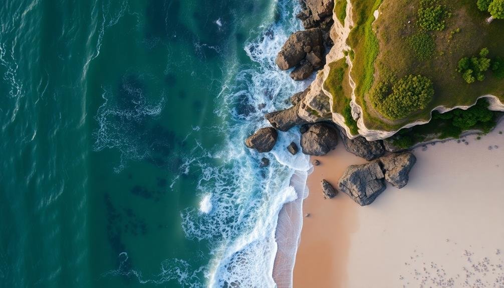
Waves crash relentlessly against the shoreline, sculpting our coasts day by day. This constant battering is at the heart of coastal erosion, a natural process that's been shaping our planet's edges for millennia.
You'll find that erosion occurs when wind, waves, and currents wear away land and redistribute sediment along the coast.
As you explore this phenomenon, you'll notice it's not just about losing land. Coastal erosion involves complex interactions between geological processes, weather patterns, and human activities. It's influenced by factors like sea-level rise, storm intensity, and coastal development.
You're looking at a dynamic system where beaches, cliffs, and dunes are constantly changing.
Understanding coastal erosion is vital because it affects millions of people worldwide. It threatens homes, infrastructure, and ecosystems.
You'll see its impacts in retreating shorelines, collapsing cliffs, and disappearing beaches. By studying erosion patterns, you can predict future changes and develop strategies to protect vulnerable areas.
This knowledge is essential for coastal management, urban planning, and climate change adaptation.
The Rise of Drone Technology
In recent years, drone technology has revolutionized countless industries, and coastal erosion monitoring is no exception. You've likely seen drones in action, from aerial photography to package delivery, but their potential in environmental monitoring is truly remarkable.
Drones have evolved from simple remote-controlled toys to sophisticated unmanned aerial vehicles (UAVs) equipped with high-resolution cameras, GPS, and various sensors. They're now capable of capturing detailed imagery and data that was once challenging or impossible to obtain.
You'll find that modern drones are more affordable, user-friendly, and versatile than ever before. They can fly for extended periods, cover large areas quickly, and access hard-to-reach locations. This makes them ideal for monitoring coastal erosion, where regular, thorough surveys are essential.
The rise of drone technology has also brought improvements in data processing and analysis. You can now use specialized software to stitch together drone-captured images, create 3D models, and perform automated change detection.
This allows for more accurate and timely assessments of coastal erosion, enabling better decision-making and more effective management strategies.
Benefits of Drone Monitoring
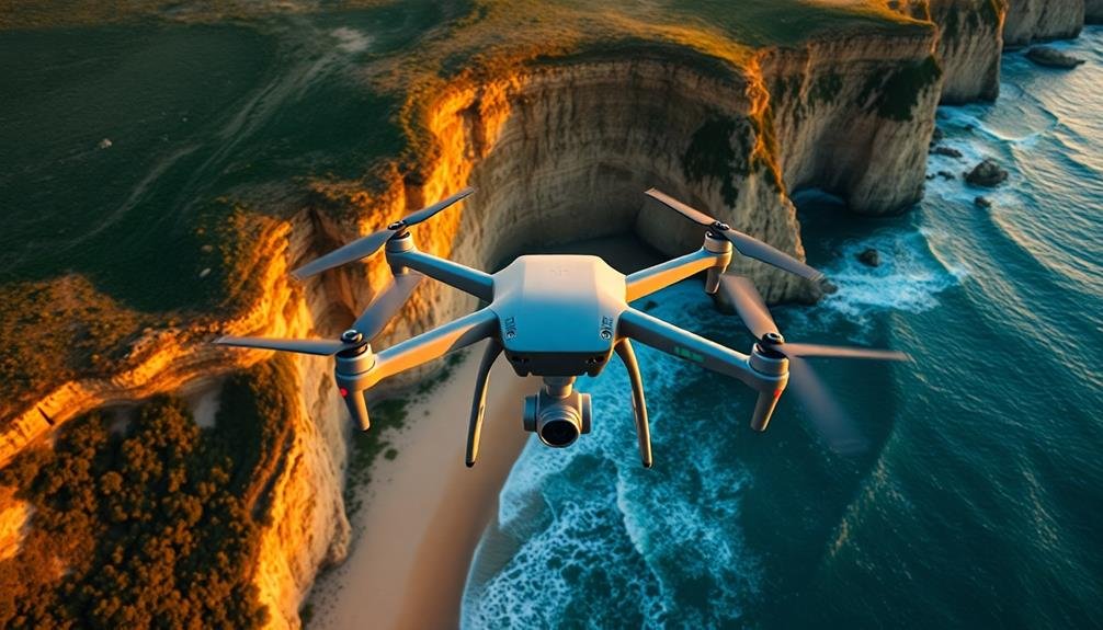
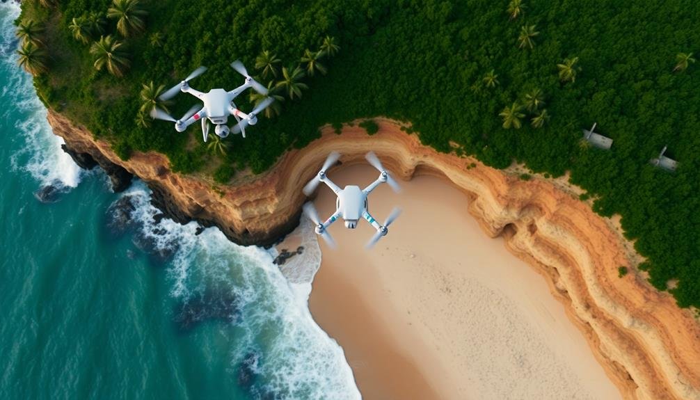
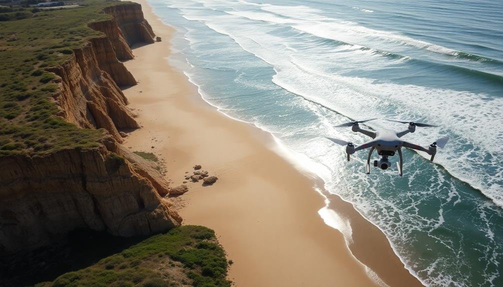
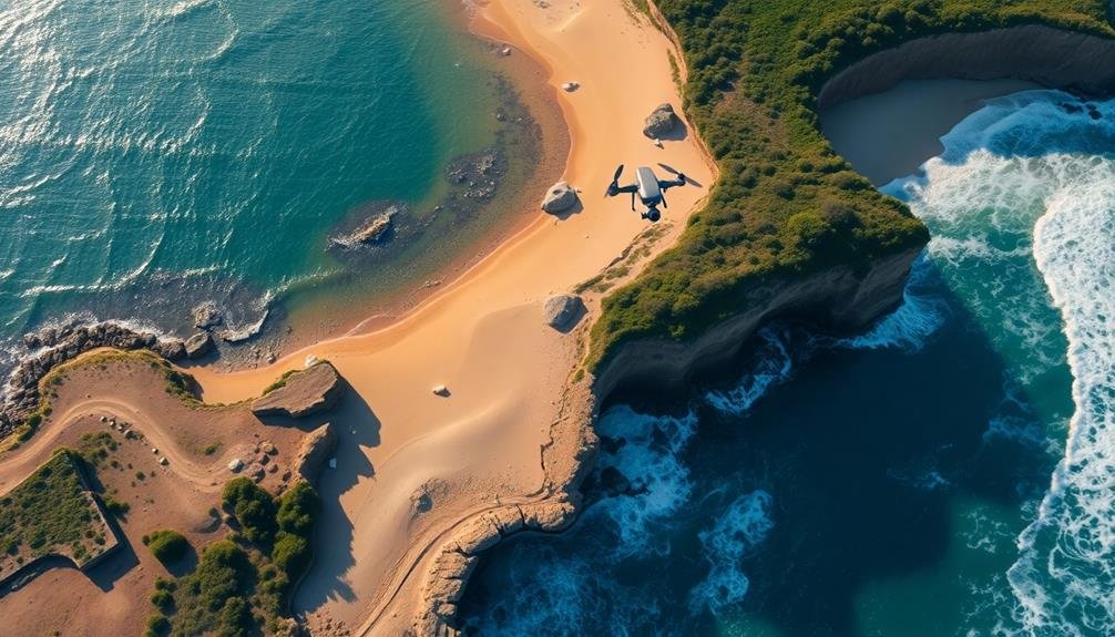
Drones offer numerous advantages when it comes to monitoring coastal erosion. You'll find that these unmanned aerial vehicles provide a cost-effective and efficient method for collecting data over large coastal areas. They can capture high-resolution images and videos, allowing you to detect even subtle changes in shoreline morphology.
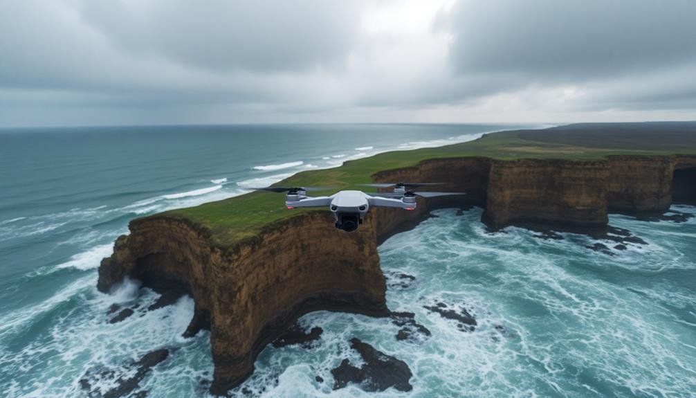
With drones, you can access hard-to-reach or dangerous locations without putting personnel at risk. They're ideal for surveying steep cliffs, rocky shores, and remote beaches. You'll appreciate their ability to quickly respond to sudden events like storms, providing real-time data on erosion impacts.
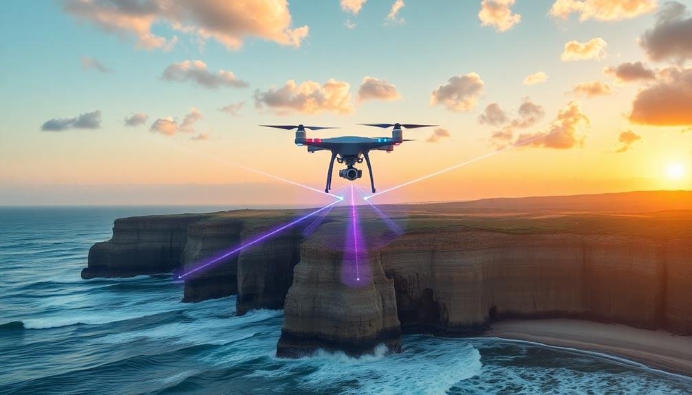
Drones equipped with LiDAR technology can create accurate 3D models of coastal landscapes, enabling you to measure volumetric changes over time. You can use thermal cameras to detect groundwater seepage and identify erosion hotspots.
Multispectral sensors help you assess vegetation health, which plays an essential role in stabilizing coastal areas.
Drone Equipment for Erosion Mapping
To effectively map coastal erosion with drones, you'll need the right equipment.
Your drone should include essential components like a high-resolution camera, GPS, and a stable gimbal for image capture.
You'll also want to contemplate specialized mapping sensors such as LiDAR or multispectral cameras to gather detailed topographic data and assess vegetation health along the coastline.
Essential Drone Components
Equipment selection plays an essential role in successful coastal erosion mapping with drones. You'll need a reliable drone platform capable of carrying your chosen sensors and withstanding coastal conditions. Look for models with good wind resistance and longer flight times. A high-resolution camera is critical for capturing detailed imagery of the coastline. Consider a drone with a 4K or higher resolution camera, ideally with adjustable settings for exposure and focus.
For more advanced mapping, you might want to invest in a LiDAR sensor or a multispectral camera. These can provide valuable data on terrain elevation and vegetation health, respectively. Don't forget about GPS technology; precise positioning is fundamental for accurate mapping. Opt for a drone with RTK (Real-Time Kinematic) GPS for centimeter-level accuracy.
You'll also need a robust ground control station, typically a tablet or laptop with specialized software for flight planning and data processing. Make sure you have spare batteries, as coastal surveys often require multiple flights.
Specialized Mapping Sensors
At the heart of effective coastal erosion mapping lie specialized sensors that transform drones into powerful data collection tools.
You'll find a range of sensors designed to capture detailed information about coastal landscapes. LiDAR (Light Detection and Ranging) sensors use laser pulses to create highly accurate 3D models of terrain, even penetrating vegetation to map the ground beneath. Multispectral cameras capture images across various light wavelengths, revealing insights about vegetation health, soil composition, and water content.
For coastal erosion mapping, you'll want to evaluate these key sensor types:
- LiDAR sensors for precise elevation data and 3D modeling
- Multispectral cameras for vegetation and soil analysis
- High-resolution RGB cameras for visual documentation
When selecting sensors, assess their resolution, accuracy, and compatibility with your drone platform.
You'll also need to factor in the weight of the sensors, as they'll affect your drone's flight time and stability.
Data Collection Techniques
You'll find aerial mapping techniques essential for capturing thorough coastal erosion data.
Through real-time data acquisition, you can monitor changes as they occur, allowing for immediate analysis and response.
These methods enable you to collect high-resolution imagery and topographical information, providing a detailed picture of erosion patterns and rates.
Aerial Mapping Techniques
In recent years, aerial mapping techniques have revolutionized coastal erosion monitoring. You'll find that drones equipped with high-resolution cameras and sensors can capture detailed images and data of shorelines with unprecedented accuracy.
These aerial surveys allow you to create precise 3D models and orthomosaic maps, giving you a thorough view of coastal changes over time.
When using drones for aerial mapping, you'll typically employ these techniques:
- Photogrammetry: Stitching together multiple overlapping images to create detailed 3D models
- LiDAR scanning: Using laser pulses to measure distances and create highly accurate terrain maps
- Multispectral imaging: Capturing data across various light wavelengths to assess vegetation health and soil composition
You'll need to plan your flight paths carefully, ensuring proper coverage and overlap between images. It's essential to maintain consistent altitude and speed during the survey for best results.
Weather conditions play a significant role, so you'll want to choose calm days with good visibility. By combining these aerial mapping techniques with traditional ground-based methods, you'll gain a more extensive understanding of coastal erosion processes and be better equipped to develop effective management strategies.
Real-Time Data Acquisition
Building on the aerial mapping techniques, real-time data acquisition takes coastal erosion monitoring to the next level.
You'll find that drones equipped with advanced sensors can collect data instantly, providing up-to-the-minute information on coastal changes.
As you deploy your drone, it'll capture high-resolution images and videos, transmitting them directly to your ground station. You're able to see erosion patterns as they occur, allowing for immediate decision-making.
The drone's GPS and inertial measurement unit (IMU) systems guarantee precise location data, which you can use to track changes over time.
You'll also benefit from multispectral and thermal imaging capabilities. These tools let you detect subtle changes in vegetation, soil moisture, and temperature variations, all indicators of potential erosion hotspots.
LiDAR sensors on your drone will generate detailed 3D models of the coastline, helping you quantify volumetric changes accurately.
Image Processing and Analysis
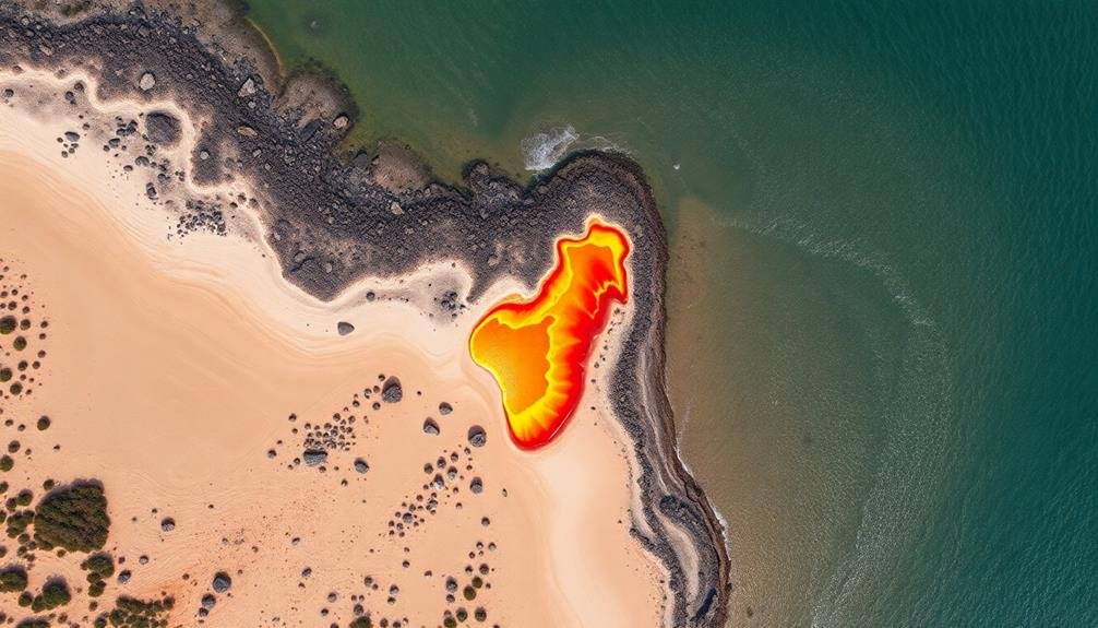
Image processing and analysis stand at the heart of drone-based coastal erosion monitoring. Once you've collected aerial imagery, you'll need to transform it into actionable data. Advanced software algorithms process these images, creating detailed 3D models and maps of the coastline. You'll be able to measure changes in beach width, dune height, and vegetation cover with unprecedented accuracy.
Machine learning techniques play an essential role in automating the analysis process. These algorithms can identify key features such as:
- Shoreline positions
- Erosion hotspots
- Sediment transport patterns
By comparing images taken over time, you can quantify erosion rates and predict future changes. You'll also be able to detect subtle shifts in coastal morphology that might be missed by traditional survey methods.
The processed data can be integrated into geographic information systems (GIS) for further analysis and visualization. This allows you to overlay various data layers, such as wave energy or land use, to gain a thorough understanding of coastal dynamics.
With these powerful tools at your disposal, you're better equipped to make informed decisions about coastal management and protection strategies.
Coastal Change Detection Methods
You'll find several effective methods for detecting coastal changes using drones.
Satellite imagery analysis allows you to monitor large-scale alterations over time, while Lidar scanning techniques provide precise 3D measurements of shoreline topography.
For a historical perspective, you can employ aerial photography comparisons, contrasting current drone images with archived photos to quantify erosion rates and patterns.
Satellite Imagery Analysis
Satellite imagery's role in coastal change detection has revolutionized our understanding of erosion patterns. You'll find that this technology offers a broad perspective on coastal changes over time, allowing you to track long-term trends and identify areas of concern.
When analyzing satellite imagery for coastal erosion, you're looking at:
- Changes in shoreline position
- Alterations in vegetation cover
- Shifts in sediment distribution
These indicators help you quantify the extent and rate of erosion. You'll use specialized software to compare images from different time periods, often employing automated algorithms to detect changes. This process can reveal subtle shifts that might be missed by ground-based observations.
Satellite imagery analysis isn't without challenges. You'll need to account for factors like tidal variations, seasonal changes, and image resolution.
However, the benefits are significant. You can cover vast coastal areas quickly and cost-effectively, providing valuable data for coastal management decisions.
Lidar Scanning Techniques
While satellite imagery provides a broad view, Lidar scanning techniques offer unparalleled precision in coastal change detection.
You'll find that Lidar, which stands for Light Detection and Ranging, uses laser pulses to measure distances and create high-resolution 3D maps of coastal areas.
When you're using drones equipped with Lidar sensors, you can capture detailed topographic data of beaches, cliffs, and dunes.
These sensors emit rapid laser pulses that bounce off the ground and return to the drone, allowing you to measure surface elevations with centimeter-level accuracy.
You'll appreciate how Lidar can penetrate vegetation, giving you a clear picture of the underlying terrain.
This is essential for evaluating erosion in densely vegetated coastal areas.
By comparing Lidar scans taken at different times, you can quantify volumetric changes in sediment and identify erosion hotspots.
Lidar's ability to create precise digital elevation models enables you to analyze subtle changes in beach profiles, dune heights, and cliff faces.
You'll be able to detect erosion patterns that might be invisible to the naked eye, helping you make informed decisions about coastal management and protection strategies.
Aerial Photography Comparisons
Aerial photography has long been a cornerstone of coastal change detection methods. With drones, you're now able to capture high-resolution images more frequently and at lower costs than traditional aerial surveys. This increased temporal resolution allows for more accurate monitoring of coastal changes over time.
When comparing aerial photographs, you'll need to evaluate several factors:
- Image resolution and quality
- Georeferencing accuracy
- Environmental conditions during capture
By aligning and overlaying images from different time periods, you can identify areas of erosion or accretion. Geographic Information Systems (GIS) software can help you quantify these changes, calculating rates of shoreline retreat or advance.
You'll find that drone-based aerial photography offers several advantages over satellite imagery for coastal monitoring. It provides higher spatial resolution, allowing you to detect smaller-scale changes.
You can also time your surveys to coincide with specific tidal conditions or weather events, ensuring consistent comparisons.
Case Studies in Drone Erosion
To illustrate the effectiveness of drones in monitoring coastal erosion, let's examine several real-world case studies.
In North Carolina's Outer Banks, researchers used drones to track shoreline changes after Hurricane Florence in 2018. They captured high-resolution images that revealed significant beach erosion and dune breaches, helping officials prioritize restoration efforts.
On the coast of Wales, a team deployed drones to monitor the retreat of coastal cliffs. By comparing drone footage over time, they identified areas at high risk of landslides, enabling local authorities to implement safety measures and update evacuation plans.
In Australia's Gold Coast, drones equipped with LiDAR technology mapped beach profiles before and after major storms. This data allowed coastal engineers to accurately assess sand loss and design more effective beach nourishment programs.
You'll find that drones have also proven valuable in monitoring coral reef erosion. In Hawaii, researchers used underwater drones to create 3D models of reef structures, tracking changes in reef health and identifying areas requiring conservation efforts.
These case studies demonstrate how drones provide essential data for understanding and managing coastal erosion processes.
Challenges and Limitations
Despite their numerous advantages, drones face several challenges and limitations in coastal erosion monitoring. You'll encounter regulatory hurdles when operating drones in coastal areas, as many countries have strict laws governing their use.
Weather conditions can also greatly impact drone performance, with strong winds and rain potentially grounding your operations.
Battery life remains a constraint, limiting flight times and the area you can cover in a single session. You'll need to plan your missions carefully to maximize efficiency.
Data processing and analysis can be time-consuming and require specialized software and skills.
Other challenges you might face include:
- Limited payload capacity, restricting the types of sensors you can use
- Potential interference with wildlife, especially in sensitive coastal ecosystems
- Public privacy concerns when flying over populated beach areas
To overcome these limitations, you'll need to stay updated on regulations, invest in weather-resistant drones, and develop efficient workflows for data processing.
As drone technology advances, you can expect improvements in battery life, payload capacity, and automated analysis tools, making coastal erosion monitoring more accessible and effective.
Future of Drone Erosion Monitoring
Looking ahead, the future of drone erosion monitoring appears bright and full of potential. You'll see drones equipped with more advanced sensors, capable of capturing higher resolution imagery and more precise data. These improvements will allow for even more accurate mapping and modeling of coastal erosion patterns.
Machine learning and AI will play a significant role in analyzing the vast amounts of data collected by drones. You can expect automated systems that'll quickly identify areas of concern and predict future erosion rates with greater accuracy. This will enable faster response times and more effective mitigation strategies.
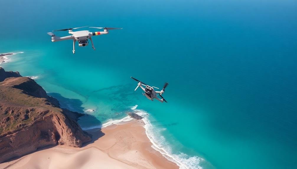
Drone swarms will become commonplace, allowing for simultaneous coverage of larger coastal areas. You'll witness increased integration with other technologies, such as underwater autonomous vehicles and satellite imagery, creating a more thorough view of coastal dynamics.
As regulations evolve, you'll see longer flight times and beyond-visual-line-of-sight operations becoming standard. This will enable more frequent and extensive monitoring missions.
Additionally, you can anticipate the development of specialized drones designed specifically for coastal environments, featuring enhanced water resistance and longer battery life to withstand challenging conditions.
Environmental Impact and Regulations
While drones offer significant benefits for coastal erosion monitoring, their use also raises environmental concerns and regulatory challenges. You'll need to take into account the potential impact on wildlife, particularly nesting birds and marine mammals.
Noise pollution from drone operations can disturb local ecosystems, and there's a risk of physical harm if a drone malfunctions or crashes.
Regulatory bodies have implemented guidelines to address these concerns. You'll find that many countries require drone operators to:
- Obtain permits for commercial use
- Follow specific flight paths and altitude restrictions
- Adhere to no-fly zones near sensitive habitats
You should also be aware of privacy issues when operating drones near populated areas. Coastal communities may express concerns about surveillance and intrusion.
To mitigate these issues, you'll need to engage with local stakeholders and clearly communicate the purpose and benefits of your drone monitoring activities.
As drone technology evolves, you can expect regulations to adapt. Stay informed about changes in legislation and best practices to guarantee your coastal erosion monitoring efforts remain compliant and environmentally responsible.
Frequently Asked Questions
How Much Does a Drone-Based Coastal Erosion Monitoring System Cost?
You'll find drone-based coastal erosion monitoring systems vary widely in cost. They can range from $1,000 for basic setups to over $50,000 for advanced systems. Prices depend on drone quality, sensors, software, and additional equipment needed.
Can Drones Be Used for Erosion Monitoring During Severe Weather Conditions?
You can use drones for erosion monitoring in severe weather, but it's risky. They're limited by high winds, heavy rain, and low visibility. It's best to wait for safer conditions to guarantee accurate data collection and drone safety.
What Qualifications Are Needed to Operate Drones for Coastal Erosion Research?
You'll need a remote pilot certificate from the FAA, knowledge of coastal processes, and experience with GIS software. It's also helpful to have a background in environmental science or geology. Specific training in drone operation is essential.
How Do Coastal Communities Integrate Drone Data Into Their Erosion Management Plans?
You'll find coastal communities integrating drone data into erosion management plans by analyzing imagery, creating 3D models, and tracking changes over time. They'll use this info to prioritize interventions, update zoning, and plan infrastructure projects.
Are There Privacy Concerns When Using Drones for Coastal Erosion Monitoring?
Yes, there are privacy concerns when using drones for coastal monitoring. You'll need to contemplate potential intrusion into private property and individuals' privacy. It's crucial to follow local regulations and obtain necessary permits before conducting surveillance.
In Summary
You've seen how drones are revolutionizing coastal erosion monitoring. They're providing unprecedented insights and data collection capabilities. As technology advances, you'll witness even more precise and efficient drone applications in this field. While challenges remain, the future looks promising. You can expect drones to play an increasingly essential role in understanding and managing coastal erosion. Remember, as you embrace this technology, it's important to stay informed about environmental regulations and responsibly use these eyes in the sky.
As educators and advocates for responsible drone use, we’re committed to sharing our knowledge and expertise with aspiring aerial photographers.


Leave a Reply