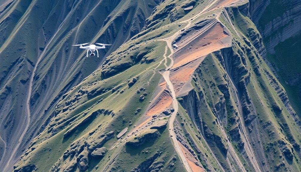
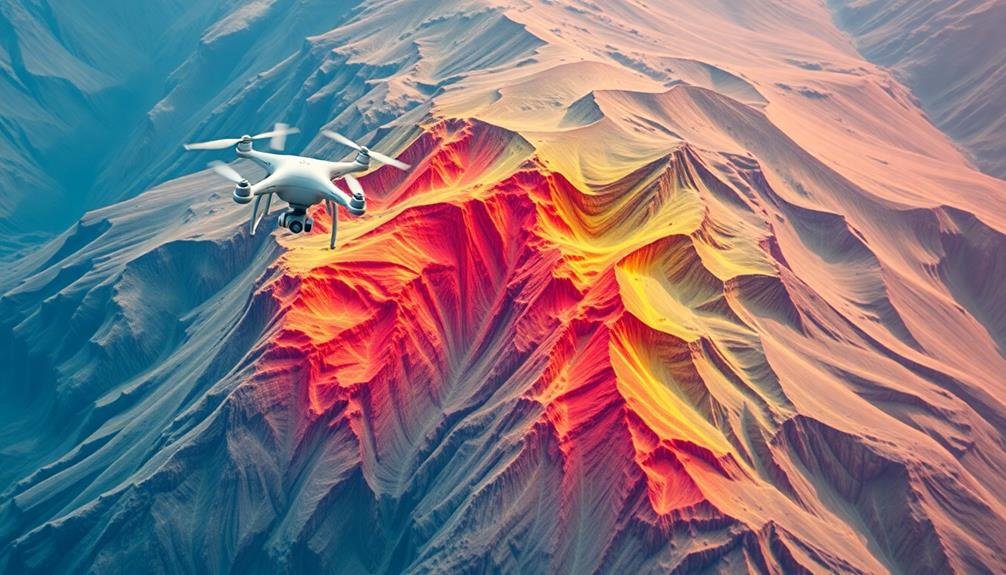
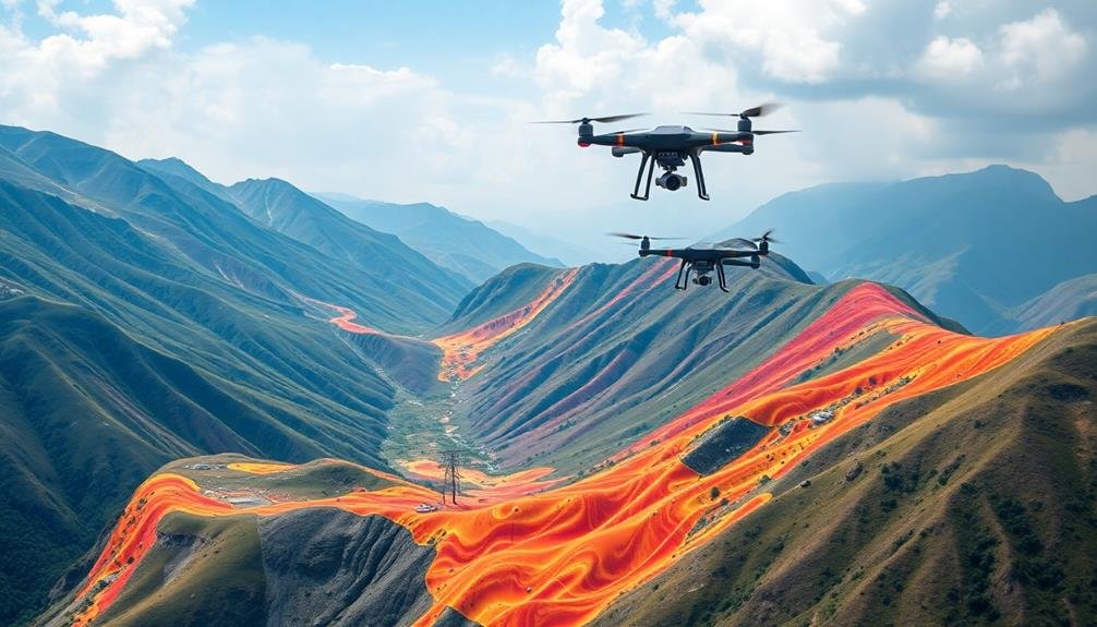
UAV-based landslide risk evaluation employs seven cutting-edge techniques to enhance accuracy and efficiency. You'll find LiDAR scanning essential for detailed terrain mapping, while multispectral imaging analyzes vegetation health. Thermal imaging detects soil moisture variations, and photogrammetry creates precise 3D terrain models. Change detection using time-series imagery identifies subtle shifts over time. Machine learning algorithms process vast datasets to predict risks, and real-time monitoring with IoT integration provides instant alerts. These methods combine to offer a thorough approach to landslide risk assessment. Exploring each technique further will reveal their full potential in safeguarding vulnerable areas.
LiDAR Scanning for Terrain Mapping
LiDAR technology has revolutionized terrain mapping for landslide risk evaluation. When you're using UAVs equipped with LiDAR sensors, you'll gather highly accurate 3D data of the terrain's surface. This method allows you to create detailed digital elevation models (DEMs) and topographic maps, which are vital for identifying potential landslide-prone areas.
You'll find that LiDAR can penetrate vegetation, giving you a clear view of the bare earth beneath. This capability is especially valuable in densely forested regions where traditional mapping techniques fall short. As you analyze the LiDAR data, you'll be able to detect subtle changes in slope, identify unstable terrain features, and measure soil displacement over time.
To maximize the effectiveness of LiDAR scanning, you should plan your UAV flight paths carefully to guarantee complete coverage of the area of interest. You'll also need to process the raw point cloud data using specialized software to generate usable terrain models.
Multispectral Imaging for Vegetation Analysis
You'll find multispectral imaging invaluable for vegetation analysis in landslide risk assessment.
By capturing data across multiple spectral bands, you can evaluate vegetation health, detecting stress or changes that may indicate potential slope instability.
These insights allow you to identify landslide precursors, such as subtle shifts in plant vigor or density, which might signal underlying geological changes or water content fluctuations.
Vegetation Health Assessment
Multispectral imaging has revolutionized vegetation health evaluation in landslide-prone areas. You'll find that UAVs equipped with multispectral sensors can capture data across various wavelengths, allowing you to analyze vegetation health with unprecedented detail. By examining the reflectance patterns in different spectral bands, you can identify stress indicators in plants before they're visible to the naked eye.
When evaluating vegetation health, you'll focus on key indices:
| Index | Purpose | Calculation |
|---|---|---|
| NDVI | Overall plant health | (NIR – Red) / (NIR + Red) |
| NDRE | Chlorophyll content | (NIR – RedEdge) / (NIR + RedEdge) |
| GNDVI | Photosynthetic activity | (NIR – Green) / (NIR + Green) |
These indices help you detect early signs of plant stress, which can indicate soil instability or water content changes—crucial factors in landslide risk evaluation. You'll want to monitor these indices over time to identify trends and anomalies. By combining this data with other UAV-collected information, such as terrain models and soil moisture data, you'll develop a thorough understanding of the area's landslide susceptibility. This multifaceted approach enhances your ability to predict and mitigate potential landslide risks effectively.
Landslide Precursor Identification
Building on vegetation health assessment techniques, identifying landslide precursors through multispectral imaging has become a key component in risk evaluation. You'll find that UAVs equipped with multispectral sensors can detect subtle changes in vegetation and soil properties, which often precede landslide events.
When analyzing multispectral data, you should focus on several key indicators. Look for changes in vegetation vigor, as stressed plants may signal unstable ground conditions. Pay attention to soil moisture content variations, which can indicate potential slope instability. You'll also want to identify areas of bare soil or exposed rock, as these might represent recent ground movements.
To effectively use multispectral imaging for precursor identification, you'll need to establish a baseline dataset and conduct regular surveys. This allows you to track changes over time and detect anomalies that may signal impending landslides.
You should combine multispectral data with other UAV-collected information, such as high-resolution imagery and digital elevation models, for a thorough analysis.
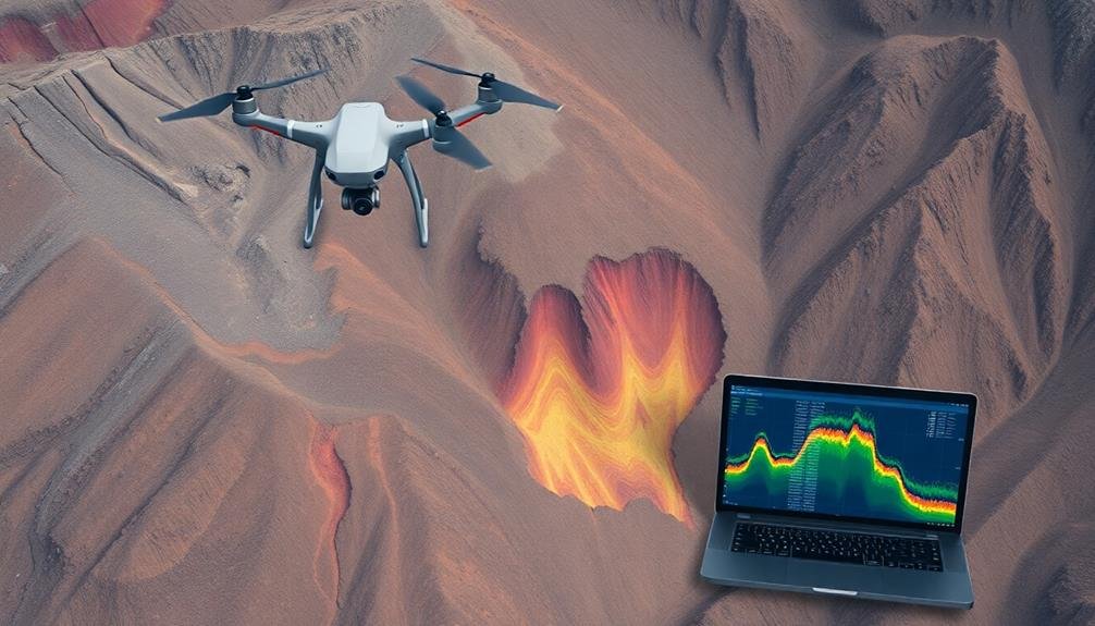
Thermal Imaging for Soil Moisture
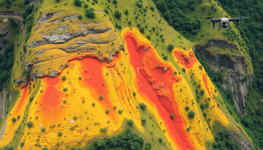
Thermal imaging stands out as a powerful tool for evaluating soil moisture in landslide-prone areas. By equipping your UAV with a thermal camera, you'll be able to detect temperature variations in the soil, which often correlate with moisture content. As water-saturated soil tends to be cooler than dry soil, you can identify areas of high moisture concentration that may contribute to landslide risk.
You'll want to conduct thermal imaging surveys during ideal conditions, typically early morning or late evening when the temperature contrast between moist and dry soil is most pronounced. As you analyze the thermal data, look for patterns and anomalies that might indicate subsurface water movement or accumulation. These could manifest as cooler streaks or patches in the thermal imagery.
It's essential to calibrate your thermal sensor and account for environmental factors like vegetation cover and recent rainfall. You should also combine thermal data with other UAV-collected information, such as visible imagery and topographic models, to build a thorough understanding of the site's hydrology.
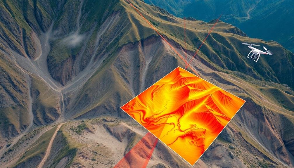
Photogrammetry for 3D Terrain Modeling
Photogrammetry offers a powerful method for creating detailed 3D terrain models, complementing the insights gained from thermal imaging.
You'll find that by using UAVs equipped with high-resolution cameras, you can capture overlapping images of the landscape from various angles. These images are then processed using specialized software to generate accurate 3D models of the terrain.
This technique allows you to identify subtle changes in topography that might indicate potential landslide risks. You can measure slopes, detect surface deformations, and analyze drainage patterns with remarkable precision.
By comparing models taken at different times, you'll be able to track changes over time and predict areas of instability.
When combined with other data sources, such as thermal imaging and LiDAR, photogrammetry enhances your ability to assess landslide risks thoroughly. You'll have a more complete picture of the landscape, enabling better decision-making for risk mitigation strategies.
- Witness the landscape come to life in stunning 3D detail
- Feel empowered by the ability to detect even the slightest terrain changes
- Experience the thrill of predicting potential hazards before they occur
- Gain confidence in your risk assessments with multi-layered data analysis
Change Detection Using Time-Series Imagery
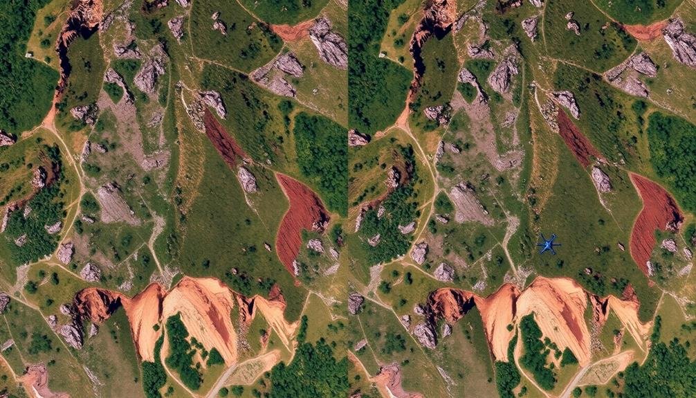
You'll find change detection using time-series imagery essential for monitoring landslide risk.
By employing temporal image comparison methods, you can identify subtle shifts in terrain over time.
You'll also gain valuable insights through vegetation index analysis and digital elevation modeling, which reveal changes in land cover and topography that may indicate potential landslide activity.
Temporal Image Comparison Methods
While UAV-based landslide monitoring has made significant strides, temporal image comparison methods have revolutionized the field. These techniques allow you to analyze changes in landscape over time, providing vital insights into landslide progression and risk factors. By comparing high-resolution images captured at different intervals, you can detect subtle shifts in terrain, vegetation cover, and soil moisture.
To effectively use temporal image comparison methods, you'll need to employ advanced software and algorithms. These tools can automatically align and register images, compensating for differences in camera angles and positions. You'll then be able to identify areas of change through pixel-by-pixel analysis or object-based comparisons.
Key benefits of temporal image comparison include:
- Rapid detection of slow-moving landslides
- Early warning of potential slope failures
- Quantification of landslide displacement rates
- Improved understanding of landslide triggering factors
Vegetation Index Analysis
Vegetation Index Analysis offers another powerful tool in UAV-based landslide risk evaluation. This technique leverages the spectral information captured by UAV sensors to assess vegetation health and coverage, which can indicate potential slope instability. You'll use indices like the Normalized Difference Vegetation Index (NDVI) or Enhanced Vegetation Index (EVI) to quantify vegetation density and vigor.
By analyzing time-series imagery, you can detect changes in vegetation patterns that may signal landslide risk. A decrease in vegetation cover or health could indicate soil movement or stress. You'll want to focus on areas where vegetation loss is sudden or progressive, as these might be early warning signs of slope failure.
Additionally, you can identify areas of new vegetation growth, which might suggest recent landslide activity or recovery from past events.
To implement this technique effectively, you'll need to calibrate your vegetation indices for local conditions and seasonality. You should also combine this analysis with other data sources, such as topographic information and rainfall records, to improve the accuracy of your risk assessments.
Digital Elevation Modeling
Digital Elevation Modeling (DEM) using time-series imagery is an essential technique for detecting landslide-related changes in terrain. By capturing high-resolution UAV imagery at regular intervals, you'll create accurate 3D models of the landscape over time. These models allow you to compare surface elevations, identify areas of erosion or deposition, and pinpoint subtle shifts in topography that might indicate impending landslides.
To perform DEM-based change detection, you'll need to process your UAV imagery using photogrammetry software. This will generate point clouds and digital surface models for each time period. By comparing these models, you can quantify volumetric changes, measure displacement rates, and assess the overall stability of slopes.
Consider these emotional impacts of DEM-based landslide monitoring:
- Empowerment: You're taking proactive steps to protect communities
- Relief: Early warning systems can save lives and property
- Curiosity: Uncovering hidden landscape dynamics
- Responsibility: Guiding informed decision-making for land use planning
Machine Learning for Risk Prediction
Machine learning algorithms have revolutionized landslide risk prediction using UAV-derived data. You'll find that these advanced techniques can process vast amounts of information from aerial surveys, identifying patterns and risk factors that humans might miss.
Supervised learning models, such as support vector machines and random forests, are particularly effective. They can be trained on historical landslide data and UAV imagery to recognize high-risk areas.
You can also employ deep learning algorithms, like convolutional neural networks, to analyze complex terrain features. These models excel at detecting subtle changes in slope, vegetation, and soil moisture that may indicate impending landslides.
By integrating multiple data sources, including DEMs, multispectral imagery, and thermal data, you'll enhance the accuracy of your predictions.
To implement these techniques, you'll need to prepare a robust dataset, including both positive (landslide) and negative (non-landslide) examples. You should also consider incorporating temporal data to capture changes over time.
Remember to validate your models using cross-validation techniques and independent test sets. By leveraging machine learning, you'll markedly improve your ability to assess and mitigate landslide risks in vulnerable areas.
Real-Time Monitoring With Iot Integration
Integrating IoT devices with UAV-based landslide monitoring systems can dramatically enhance real-time risk assessment. You'll find that these smart sensors, when strategically placed across landslide-prone areas, continuously collect and transmit data on soil moisture, ground movement, and weather conditions.
UAVs equipped with high-resolution cameras and LiDAR sensors can then capture aerial imagery and 3D terrain models, complementing the ground-based IoT data.
By combining these technologies, you're able to create a thorough, real-time monitoring network. This system allows for instant alerts when predefined thresholds are exceeded, enabling rapid response and evacuation if necessary.
You'll also benefit from improved predictive modeling, as the constant stream of data helps refine and update risk assessment algorithms.
- Lives hang in the balance – your swift action could save entire communities
- Feel the power of knowledge as you harness cutting-edge technology
- Experience the thrill of pushing the boundaries of disaster prevention
- Embrace the satisfaction of creating a safer world for future generations
To maximize the effectiveness of this integrated system, verify you've established reliable communication networks and data processing infrastructure.
Regular maintenance and calibration of both UAVs and IoT devices are essential for accurate and dependable results.
Frequently Asked Questions
What Are the Legal Requirements for Operating UAVS in Landslide-Prone Areas?
You'll need to obtain proper licensing and follow local regulations for UAV operation. Check airspace restrictions, maintain visual line of sight, and respect privacy laws. Be aware of weight limits and registration requirements for your drone.
How Does Weather Affect UAV Performance During Landslide Risk Assessments?
Weather considerably impacts your UAV's performance during landslide risk assessments. You'll face challenges with wind, rain, and low visibility. They'll affect flight stability, data quality, and safety. Always check forecasts and adjust your plans accordingly.
What Are the Cost Considerations for Implementing Uav-Based Landslide Monitoring Systems?
You'll need to contemplate costs for UAV equipment, sensors, software, training, and maintenance. Don't forget ongoing expenses like data storage and processing. Regulatory compliance and insurance can also add to your overall implementation budget.
How Do Uav-Based Techniques Compare to Traditional Ground-Based Landslide Assessment Methods?
You'll find UAV-based techniques offer wider coverage and access to hard-to-reach areas compared to traditional methods. They're faster, safer, and provide high-resolution data. However, they may be costlier and require specialized expertise to operate effectively.
What Are the Limitations of UAV Battery Life for Extended Monitoring Missions?
You'll find that UAV battery life limits extended monitoring missions. Most consumer drones only fly for 20-30 minutes. This restricts coverage area and data collection time, often requiring multiple flights or battery swaps for thorough surveys.
In Summary
You've now explored seven powerful UAV techniques for landslide risk evaluation. From LiDAR scanning to IoT integration, these methods offer extensive insights into terrain stability. By combining these approaches, you'll gain a more accurate picture of potential hazards. Remember, it's not just about data collection; it's how you interpret and act on the information. Keep refining your skills and stay updated on emerging technologies to enhance your landslide risk assessments.
As educators and advocates for responsible drone use, we’re committed to sharing our knowledge and expertise with aspiring aerial photographers.


Leave a Reply