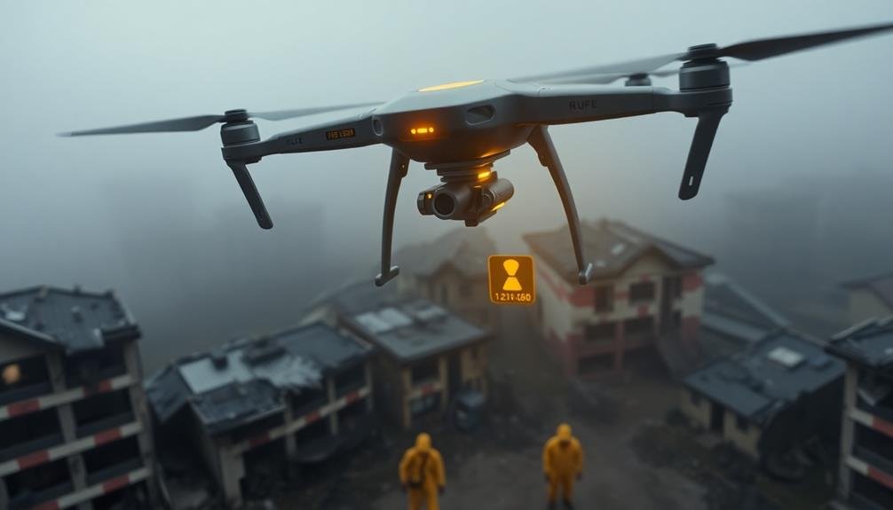
UAV radiation monitoring is essential for disaster zone safety. You'll find that drones equipped with specialized sensors can quickly survey large areas, identifying radiation hotspots without risking human lives. These unmanned aircraft provide real-time data, enabling rapid decision-making for evacuations and cleanup efforts. They're cost-effective, offering more accurate and detailed information than ground methods. UAVs integrate seamlessly with ground teams, enhancing overall safety protocols. From gamma-ray detection to neutron monitoring, these aerial systems revolutionize how we assess and respond to radiation hazards. As technology advances, the future of UAV radiation monitoring promises even greater efficiency and precision in safeguarding disaster zones.
Radiation Risks in Disaster Zones
Disaster zones contaminated by radiation pose significant challenges for first responders and recovery teams. You'll face invisible yet potentially lethal threats that can compromise your health and safety.
Radiation exposure can lead to acute radiation syndrome, increased cancer risk, and long-term health complications. It's essential to understand that radiation levels can vary dramatically within a disaster area, creating hotspots of intense radioactivity.
You'll need to be aware of different types of radiation, including alpha, beta, gamma, and neutron radiation. Each type presents unique risks and requires specific protective measures.
Time, distance, and shielding are your key defenses against radiation exposure. You'll want to minimize your time in contaminated areas, maintain maximum distance from radiation sources, and use appropriate shielding materials.
Without proper monitoring equipment, you can't accurately assess the radiation levels you're exposed to. This is where UAV radiation monitoring becomes invaluable.
UAV Technology for Radiation Detection
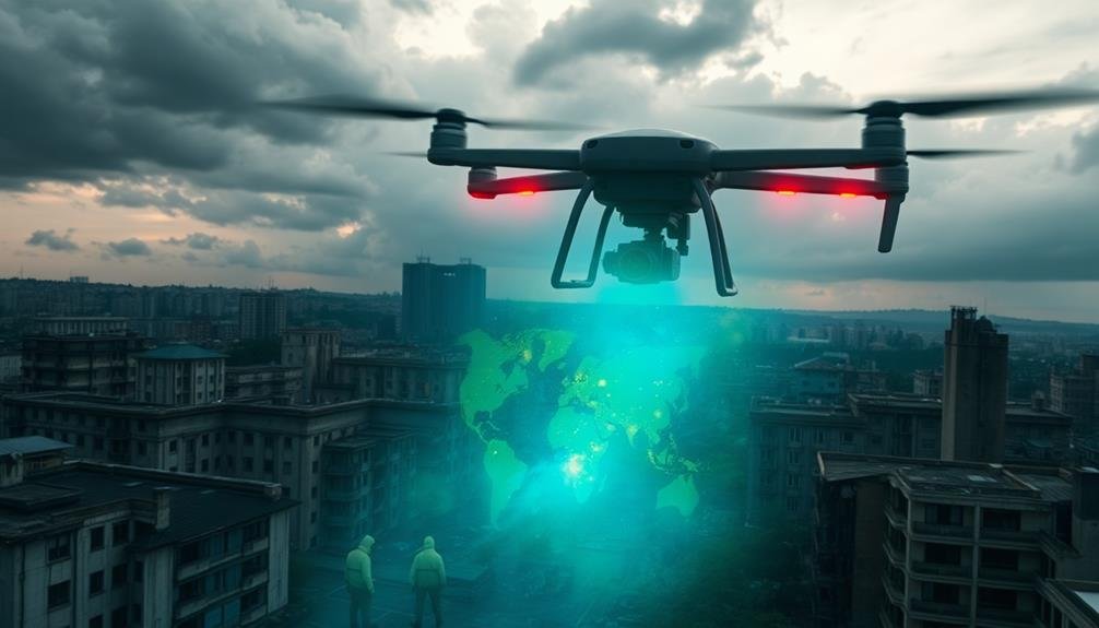
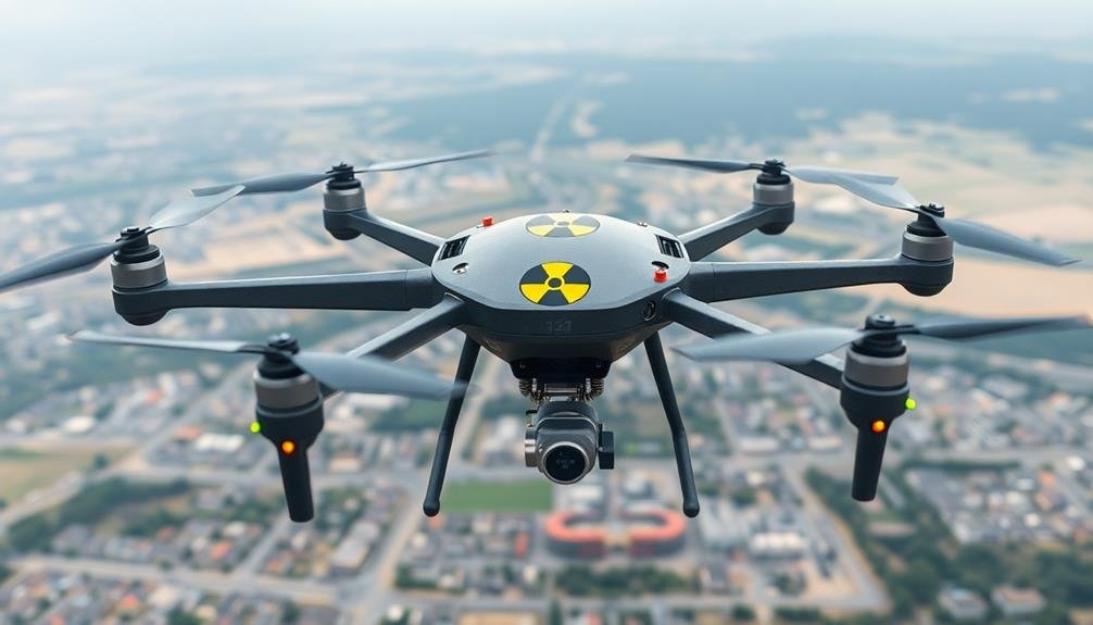
Drones equipped with radiation sensors have revolutionized the way we monitor contaminated areas. These unmanned aerial vehicles (UAVs) offer a safer, more efficient method for detecting and mapping radiation levels in disaster zones. You'll find that UAVs can cover large areas quickly, accessing locations that might be too dangerous for human personnel.
The technology behind radiation-detecting drones has advanced considerably. Modern UAVs use specialized sensors, such as scintillation detectors or semiconductor-based devices, to measure gamma radiation levels. They're often equipped with GPS systems for precise location tracking and real-time data transmission capabilities.
You can deploy these drones in various scenarios, from nuclear power plant accidents to terrorist attacks involving radiological materials. They'll provide you with high-resolution radiation maps, helping you identify hot spots and plan safe entry routes for emergency responders.
When selecting a UAV for radiation monitoring, you'll need to take into account factors like flight time, payload capacity, and sensor sensitivity. Some advanced models even incorporate artificial intelligence to autonomously navigate and optimize their flight paths for thorough coverage.
With this technology, you'll greatly enhance your ability to respond to radiological emergencies effectively and safely.
Benefits of Aerial Radiation Monitoring
Soaring above contaminated areas, aerial radiation monitoring offers numerous advantages over traditional ground-based methods. You'll find that UAVs equipped with radiation sensors can cover vast areas quickly and efficiently, providing an all-encompassing view of radiation distribution. This speed is essential in emergency situations where time is of the essence.
You won't have to worry about exposing personnel to harmful radiation levels, as UAVs can access high-risk zones without endangering human lives. They're also capable of reaching areas that might be inaccessible by foot or vehicle, such as rugged terrain or structurally compromised buildings.
The data collected by aerial monitoring is often more accurate and detailed than ground-based measurements. You'll receive real-time information, allowing for immediate decision-making and response planning. UAVs can create high-resolution maps of radiation hotspots, helping you prioritize cleanup efforts and allocate resources effectively.
Moreover, you'll find that aerial monitoring is cost-effective in the long run. It reduces the need for extensive ground crews and specialized protective equipment. The reusability of UAVs means you can conduct repeated surveys over time, tracking changes in radiation levels with minimal additional investment.
Types of Radiation Sensors
When selecting radiation sensors for UAV monitoring, you'll encounter several key types.
Gamma-ray scintillation detectors are widely used for their sensitivity and efficiency in measuring gamma radiation.
You'll also find semiconductor ionization chambers, which offer excellent energy resolution, and neutron detection systems designed to identify and measure neutron radiation.
Gamma-Ray Scintillation Detectors
Gamma-ray scintillation detectors are essential components in UAV radiation monitoring systems. These devices work by converting gamma-ray photons into visible light, which is then detected and measured. You'll find that scintillation detectors are highly sensitive and can provide accurate readings of gamma radiation levels in real-time.
When you're using a UAV for radiation monitoring, you'll typically encounter two main types of scintillation detectors: inorganic and organic. Inorganic detectors, such as sodium iodide (NaI) or cesium iodide (CsI) crystals, offer high density and atomic number, making them ideal for efficient gamma-ray detection.
Organic scintillators, like plastic scintillators, are lighter and more suitable for UAV applications where weight is a significant factor.
You'll appreciate that these detectors can differentiate between various energy levels of gamma radiation, allowing you to identify specific radioactive isotopes. This capability is vital in disaster zones where you need to determine the nature and extent of radioactive contamination.
Additionally, modern scintillation detectors often incorporate advanced signal processing techniques, enhancing their ability to detect weak radiation signals and discriminate against background noise.
Semiconductor Ionization Chambers
While scintillation detectors are widely used in UAV radiation monitoring, semiconductor ionization chambers offer another powerful option for detecting radiation. These devices use semiconducting materials, typically silicon or germanium, to directly measure ionizing radiation. When radiation enters the chamber, it creates electron-hole pairs in the semiconductor, which are then collected to produce an electrical signal.
You'll find that semiconductor ionization chambers have several advantages:
- Higher energy resolution, allowing for more precise identification of specific radioactive isotopes
- Compact size, making them ideal for integration into smaller UAV platforms
- Lower power consumption, extending the operational time of your radiation-monitoring drone
These detectors are particularly effective for gamma-ray spectroscopy, enabling you to distinguish between different types of radioactive materials. They're also less sensitive to temperature changes than scintillation detectors, providing more stable measurements in varying environmental conditions.
However, you should be aware that semiconductor ionization chambers can be more expensive and may require cooling for peak performance, especially in high-radiation environments.
Despite these challenges, their superior energy resolution and compact design make them an excellent choice for many UAV radiation monitoring applications.
Neutron Detection Systems
How do you detect a particle with no electric charge? That's the challenge with neutrons, but it's essential for thorough radiation monitoring. Neutron detection systems rely on indirect methods, often using materials that react with neutrons to produce detectable secondary particles.
You'll find several types of neutron detectors used in UAV radiation monitoring:
| Detector Type | Detection Method | Efficiency |
|---|---|---|
| Scintillators | Light emission | Moderate |
| Proportional counters | Gas ionization | High |
| Semiconductor detectors | Charge collection | Low |
| Activation foils | Induced radioactivity | Variable |
Scintillators are popular for their versatility and fast response. They're often coupled with photomultiplier tubes to amplify the light signals. Proportional counters, filled with gases like helium-3 or boron trifluoride, offer high sensitivity but can be bulky.
You'll need to take into account the energy range of neutrons you're targeting. Thermal neutrons (low energy) are easier to detect, while fast neutrons require moderators to slow them down. Some detectors use layers of different materials to capture a broader spectrum of neutron energies.
When selecting a neutron detection system for your UAV, you'll need to balance sensitivity, size, and power consumption to guarantee effective radiation monitoring in disaster zones.
Real-Time Data Collection and Analysis
You'll find that real-time data collection and analysis are essential components of UAV radiation monitoring.
With instant radiation level mapping, you can quickly visualize the distribution of radiation across an area, allowing for immediate assessment of potential hazards.
Rapid contamination zone identification enables you to pinpoint and isolate areas of concern, facilitating swift response and mitigation efforts.
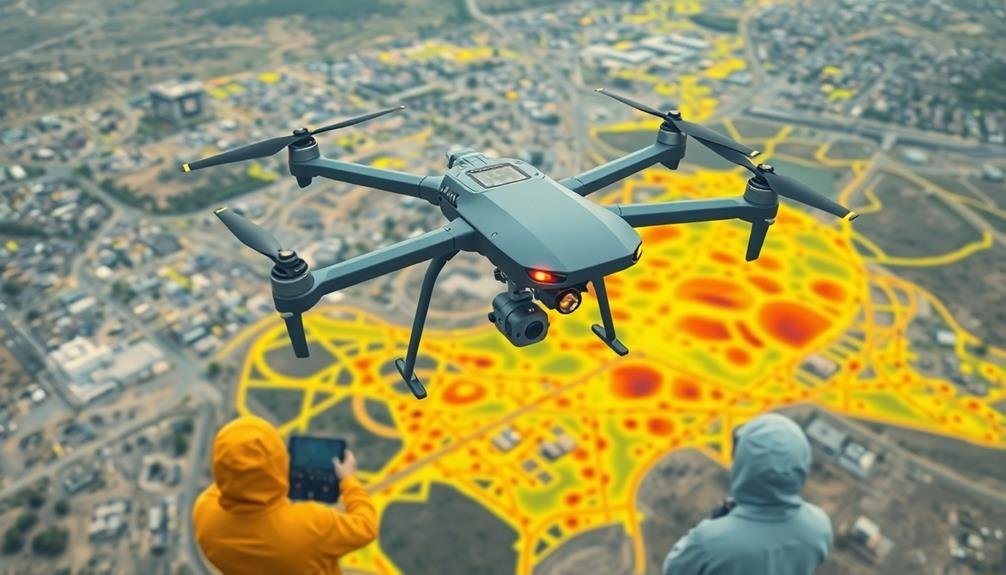
Instant Radiation Level Mapping
In the domain of UAV radiation monitoring, instant radiation level mapping stands out as a essential capability.
You'll find this feature indispensable when evaluating radiation hazards in disaster zones. It allows you to create real-time, thorough maps of radiation levels across large areas quickly and safely.
As you deploy UAVs equipped with radiation sensors, they'll collect data and transmit it instantly to your ground control station.
Specialized software then processes this information, generating color-coded maps that display radiation intensity levels. These maps provide you with:
- A bird's-eye view of contamination spread
- Hotspot identification for immediate action
- Safe zones for emergency responders to operate
You'll be able to make informed decisions rapidly, directing resources where they're needed most and ensuring the safety of personnel on the ground.
The system's ability to update continuously means you're always working with the latest information, essential in dynamic disaster scenarios.
Instant radiation level mapping isn't just about speed; it's about precision and coverage.
You'll capture data from areas that might be too dangerous or inaccessible for ground teams, ensuring a complete picture of the radiation situation.
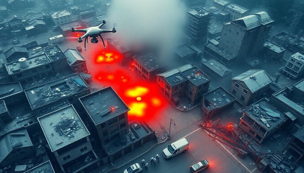
Rapid Contamination Zone Identification
Rapid contamination zone identification is a critical component of UAV radiation monitoring systems. It allows you to quickly pinpoint areas with dangerous radiation levels, enabling faster response times and more effective evacuation procedures.
As your UAV flies over the affected area, it continuously collects radiation data, which is instantly transmitted to ground control stations for real-time analysis.
You'll see the contamination zones appear on your digital maps as the UAV progresses, with color-coded overlays indicating varying levels of radiation intensity. This immediate visual representation helps you make quick decisions about where to focus your resources and which areas to quarantine.
The system's advanced algorithms can also predict the spread of contamination based on wind patterns and topography, giving you valuable insights for planning ahead.
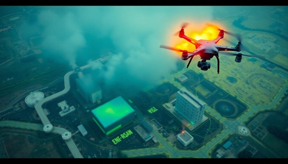
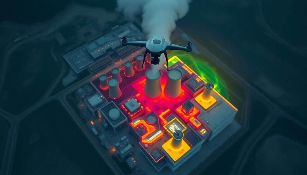
Mapping Radiation Hotspots
Drones equipped with radiation sensors are revolutionizing the process of mapping radiation hotspots. You'll find that these UAVs can quickly cover large areas, providing real-time data on radiation levels and their distribution. This capability is essential for emergency responders and scientists who need to understand the extent and intensity of contamination in disaster zones.
When you're using drones for radiation mapping, you're able to create detailed, three-dimensional maps of radiation hotspots. These maps offer several advantages:
- Precise localization of high-radiation areas
- Visualization of radiation plume movement
- Identification of safe zones for personnel and equipment
You'll appreciate how drone-based mapping reduces human exposure to dangerous radiation levels. By sending UAVs into contaminated areas, you're keeping safety personnel out of harm's way while still gathering vital data.
The drones' ability to fly at various altitudes also allows you to assess radiation levels at different heights, providing a thorough understanding of the contamination's vertical distribution.
With this technology, you're able to make informed decisions about evacuation zones, decontamination efforts, and long-term environmental monitoring. It's a game-changer in radiation disaster management, offering unprecedented speed and accuracy in mapping hazardous areas.
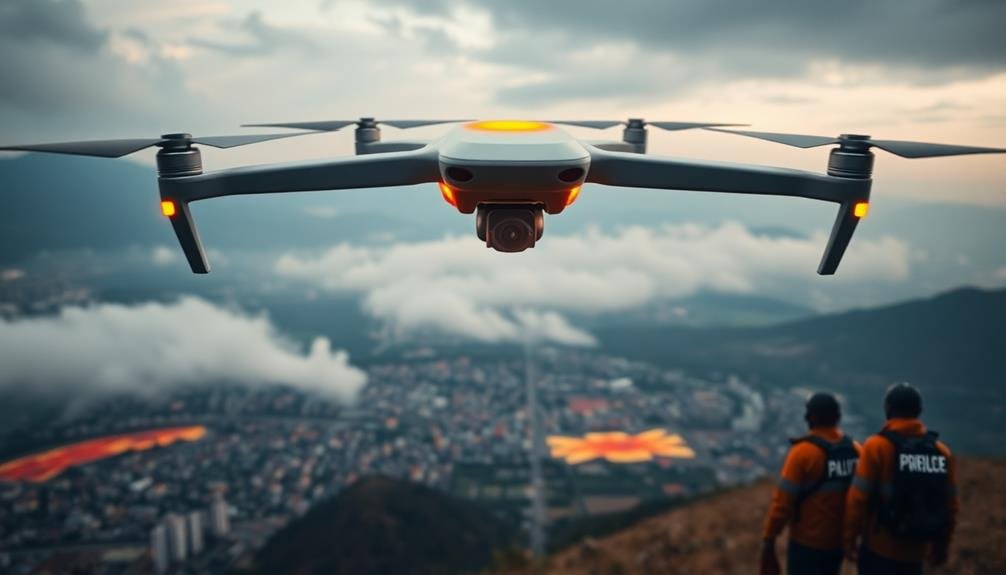
Safety Protocols for UAV Operations
Safety stands paramount when operating UAVs for radiation monitoring. You must adhere to strict protocols to protect yourself, your team, and the equipment.
First, verify you're properly trained in UAV operation and radiation safety. Always wear appropriate personal protective equipment, including dosimeters to monitor your radiation exposure.
Before each flight, conduct a thorough pre-flight check of your UAV. Verify all systems are functioning correctly and batteries are fully charged. Establish a clear chain of command and communication protocols with your team. Define no-fly zones and maintain a safe distance from radiation sources.
During operations, constantly monitor weather conditions and adjust flight plans accordingly. Wind speed and direction can affect UAV stability and radiation dispersal patterns. Keep your UAV within visual line of sight unless you've obtained specific authorization for beyond visual line of sight operations.
After each flight, follow proper decontamination procedures for both the UAV and yourself. Regularly inspect and maintain your equipment to guarantee its reliability.
Document all flights, including radiation readings, flight paths, and any incidents or unusual observations. This data is essential for ongoing safety assessments and mission planning.
Integrating UAVS With Ground Teams
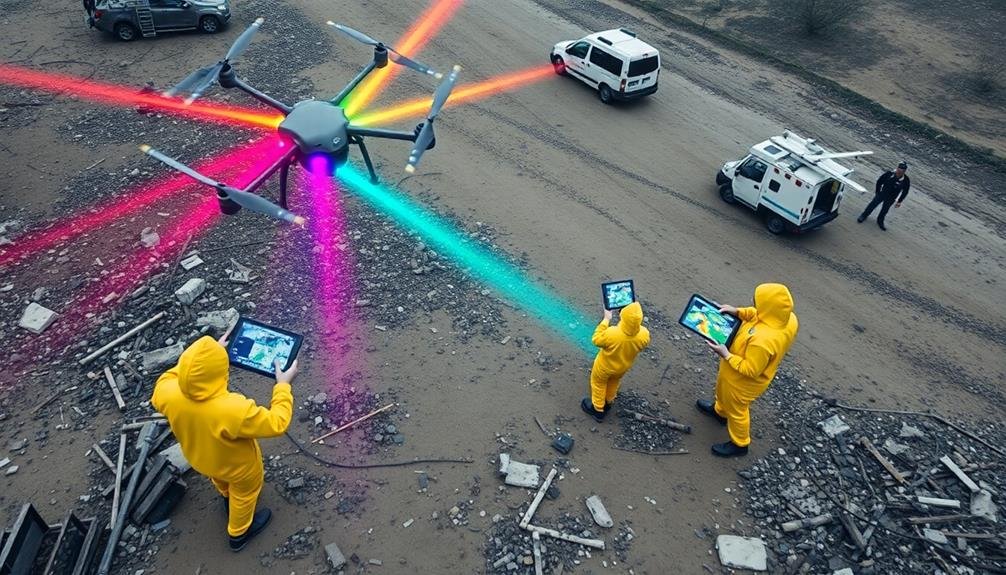
Teamwork forms the bedrock of successful UAV radiation monitoring operations. When you're integrating UAVs with ground teams, it's essential to establish clear communication channels and protocols. You'll need to guarantee that both aerial and terrestrial units are working in sync, sharing real-time data and insights.
To effectively integrate UAVs with ground teams:
- Set up a centralized command center where you'll coordinate all activities, visualize data streams, and make rapid decisions.
- Equip ground personnel with portable devices that display UAV-collected data, allowing them to adjust their movements based on radiation hotspots.
- Implement a rotating schedule where UAV operators switch roles with ground team members, fostering a deeper understanding of each other's challenges and perspectives.
You'll want to conduct regular joint training exercises to refine your integration strategies. These sessions should focus on emergency scenarios, data interpretation, and collaborative problem-solving.
Case Studies: Successful UAV Deployments
Real-world examples offer valuable insights into the effectiveness of UAV radiation monitoring. In the aftermath of the Fukushima Daiichi nuclear disaster, UAVs played a vital role in evaluating radiation levels. You'll find that these drones, equipped with specialized sensors, allowed authorities to map contamination zones without risking human lives. They provided real-time data, enabling swift decision-making for evacuation and cleanup efforts.
During the 2011 incident, UAVs were deployed to survey areas inaccessible to ground teams. You'd be impressed by their ability to detect hotspots and track the spread of radioactive materials.
In another case, at the Chernobyl Exclusion Zone, drones have been regularly used to monitor long-term radiation levels. They've helped researchers study the area's recovery and evaluate potential risks.
You'll also find success stories in non-disaster scenarios. Nuclear power plants now routinely use UAVs for inspections, reducing worker exposure to radiation.
These case studies demonstrate that UAV radiation monitoring isn't just theoretical – it's a proven, life-saving technology that's revolutionizing how we approach radiation safety and management in various contexts.
Future of Radiation Monitoring Drones

You'll see AI-powered autonomous navigation revolutionizing radiation monitoring drones in the near future.
These advanced systems will enable UAVs to make real-time decisions, adapt to changing environments, and optimize flight paths for more efficient data collection.
Additionally, you can expect swarm technology integration to allow multiple drones to work together seamlessly, covering larger areas and providing more thorough radiation mapping capabilities.
Ai-Powered Autonomous Navigation
In the coming years, AI-powered autonomous navigation will revolutionize radiation monitoring drones. You'll see these advanced UAVs operating with minimal human intervention, making real-time decisions based on complex environmental data. They'll navigate hazardous areas more efficiently, avoiding obstacles and adjusting their flight paths to optimize radiation detection.
AI algorithms will enable drones to:
- Analyze terrain features and predict radiation hotspots
- Adapt to changing wind patterns and atmospheric conditions
- Collaborate with other drones to create extensive 3D radiation maps
You'll witness these smart drones learning from each mission, improving their performance over time. They'll identify anomalies faster and more accurately than their human-controlled counterparts. As a result, you'll see quicker response times in disaster zones and more precise containment of radioactive threats.
The integration of AI will also enhance the drones' ability to communicate with ground teams, providing instant alerts and detailed analysis. You'll receive more reliable data, helping you make informed decisions in critical situations.
With AI-powered autonomous navigation, radiation monitoring drones will become indispensable tools in safeguarding public health and managing nuclear incidents.
Swarm Technology Integration
Integrating swarm technology into radiation monitoring drones will dramatically enhance their efficiency and coverage. You'll see a network of interconnected UAVs working together, sharing data and coordinating their movements to cover large areas quickly and thoroughly. This approach allows for real-time mapping of radiation levels across disaster zones, providing a thorough view of contamination.
You'll benefit from the swarm's ability to adapt to changing conditions. If one drone detects a high radiation area, it can immediately alert others to focus their efforts there. The swarm can also self-organize to maintain ideal spacing and avoid collisions, ensuring maximum coverage with minimal human intervention.
You'll find that swarm technology enables faster response times and more accurate data collection. By distributing the workload among multiple drones, you can survey larger areas in less time, vital for time-sensitive disaster response.
The redundancy built into swarm systems also increases reliability – if one drone fails, others can compensate, ensuring continuous monitoring.
As you implement swarm technology, you'll reveal new possibilities for radiation monitoring, making it more efficient, adaptable, and effective in protecting public safety.
Frequently Asked Questions
How Long Does UAV Battery Life Last During Radiation Monitoring Missions?
You'll find UAV battery life varies during radiation monitoring. It's typically 20-30 minutes for smaller drones and up to 2 hours for larger ones. Factors like payload, weather, and flight patterns affect duration.
What Qualifications Are Required to Operate Radiation Monitoring Drones?
You'll need a drone pilot license, radiation safety training, and expertise in radiation detection equipment. You should also have emergency response knowledge, strong communication skills, and the ability to interpret complex radiation data in real-time.
Can Consumer Drones Be Retrofitted for Radiation Detection Purposes?
You can retrofit consumer drones for radiation detection, but it's not simple. You'll need to add specialized sensors, modify the payload capacity, and guarantee proper shielding. It's often better to use purpose-built radiation monitoring drones instead.
How Do Weather Conditions Affect UAV Radiation Monitoring Accuracy?
You'll find that weather conditions greatly impact UAV radiation monitoring accuracy. Wind can disrupt flight paths, rain may interfere with sensors, and extreme temperatures affect battery life. Cloud cover can also alter radiation readings from the ground.
Are There International Regulations Governing the Use of Radiation Monitoring Drones?
You'll find that international regulations for radiation monitoring drones are still evolving. While there's no unified global framework, many countries have their own rules. You should check local and national laws before operating these drones.
In Summary
You've seen how UAV radiation monitoring is revolutionizing disaster zone safety. By embracing this technology, you're ensuring faster, safer, and more thorough radiation detection. Don't hesitate to integrate UAVs into your emergency response plans. They'll provide real-time data, reduce human exposure, and cover large areas quickly. As the technology advances, you'll find even more applications for these versatile tools. Stay ahead of the curve and prioritize UAV radiation monitoring for ideal disaster preparedness.
As educators and advocates for responsible drone use, we’re committed to sharing our knowledge and expertise with aspiring aerial photographers.


Leave a Reply