To track coastal erosion effectively from above, you'll need these seven key tips. First, choose a durable drone with long flight time and high-resolution camera. Next, plan efficient flight paths to cover erosion hotspots. Utilize high-resolution cameras for detailed imagery, and master time-lapse photography techniques for temporal analysis. Implement photogrammetry software to create 3D models of the coastline. Analyze vegetation changes as indicators of erosion or stability. Finally, compare historical satellite imagery to quantify long-term changes. By incorporating these aerial techniques, you'll gain a thorough view of coastal dynamics. Dive deeper to uncover the nuances of each method and enhance your erosion monitoring capabilities.
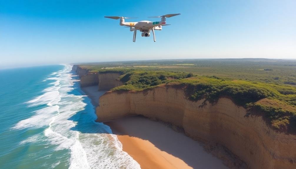
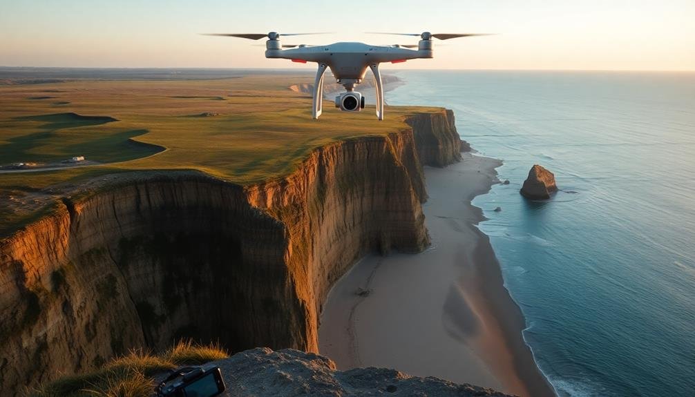
Choose the Right Drone
Three key factors come into play when selecting a drone for coastal erosion tracking: durability, flight time, and camera quality.
You'll want a drone that can withstand coastal conditions, including strong winds and saltwater spray. Look for models with high IP ratings for water and dust resistance.
Flight time is essential for covering large coastal areas. Opt for drones with at least 30 minutes of flight time per battery charge. Take into account models that allow for quick battery swaps to extend your survey duration.
Camera quality determines the accuracy of your erosion data. Choose a drone with a high-resolution camera, preferably 4K or higher. Look for features like adjustable aperture and shutter speed to capture clear images in varying light conditions.
Additional features to keep in mind include obstacle avoidance systems, GPS positioning, and automated flight modes. These can help you navigate complex coastal terrains and capture consistent data over time.
Remember to check local regulations regarding drone use in coastal areas. Some locations may require special permits or have restrictions on flight altitudes and distances from shorelines.
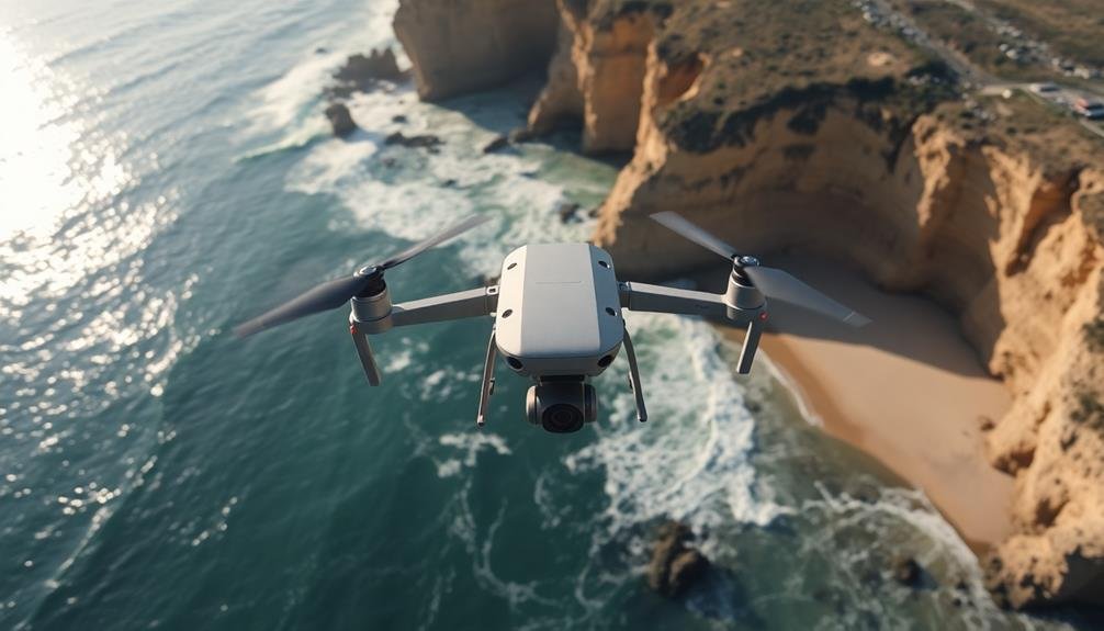
Plan Optimal Flight Paths
Now that you've selected the right drone, it's time to map out your flight paths. Planning ideal routes guarantees thorough coverage and efficient data collection. Start by identifying key areas of interest along the coastline, such as erosion hotspots or vulnerable structures. Use satellite imagery or topographic maps to outline these zones.
Create a grid pattern that covers your target area, guaranteeing overlap between flight paths for accurate data stitching. Consider factors like battery life, wind conditions, and drone capabilities when determining flight duration and altitude. Higher altitudes cover more ground but may sacrifice image resolution.
Plan multiple flights if necessary, dividing the coastline into manageable sections. Schedule flights during low tide for better visibility of coastal features. Avoid flying during peak sun hours to minimize glare and shadows in your imagery.
Incorporate waypoints for automated flight paths, reducing pilot fatigue and increasing precision. Program your drone to capture images at regular intervals or specific locations.
Remember to account for no-fly zones, obstacles, and local regulations when planning your routes. Always have a backup plan and emergency landing sites identified before takeoff.
Utilize High-Resolution Cameras
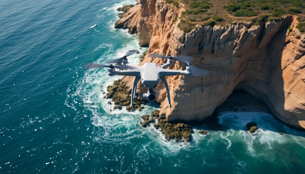
High-resolution cameras are the cornerstone of effective coastal erosion tracking. You'll want to invest in cameras with at least 20 megapixels and the ability to capture RAW images. These features guarantee you'll get the detail and flexibility needed for accurate analysis.
When selecting your camera, consider factors like sensor size, lens quality, and image stabilization. Larger sensors and high-quality lenses will provide better image clarity, especially in challenging lighting conditions. Image stabilization is vital for sharp photos when shooting from a moving drone.
Here's a comparison of three popular camera options for coastal erosion tracking:
| Feature | Camera A | Camera B | Camera C |
|---|---|---|---|
| Resolution (MP) | 24 | 42 | 61 |
| Sensor Size | APS-C | Full-frame | Full-frame |
| Weather-sealed | Yes | Yes | No |
Don't forget to use appropriate filters to reduce glare and enhance contrast. A polarizing filter can be particularly useful for cutting through water reflections. Finally, make sure your camera is securely mounted to your drone and properly calibrated before each flight to guarantee the best possible image quality for your coastal erosion tracking efforts.
Master Time-Lapse Photography Techniques
Time-lapse photography is a powerful tool for tracking coastal erosion over extended periods. To master this technique, you'll need to set up a sturdy camera mount that can withstand harsh coastal conditions. Choose a weatherproof housing to protect your equipment from salt spray and sand.
Select an appropriate interval between shots based on the erosion rate of your specific coastline. For rapidly changing areas, you might capture images every hour, while slower processes may only require daily shots. Confirm your camera has sufficient battery life and storage capacity for long-term deployment.
Use consistent camera settings throughout the project to maintain uniformity in your images. Opt for manual focus and exposure to prevent unwanted variations. Consider using a neutral density filter to manage bright daylight conditions.
When compiling your time-lapse sequence, align your images precisely to create a smooth animation. Software tools can help stabilize minor camera movements caused by wind or vibrations.
Pay attention to lighting changes and tidal cycles, as these can affect the visibility of erosion patterns.
Implement Photogrammetry Software
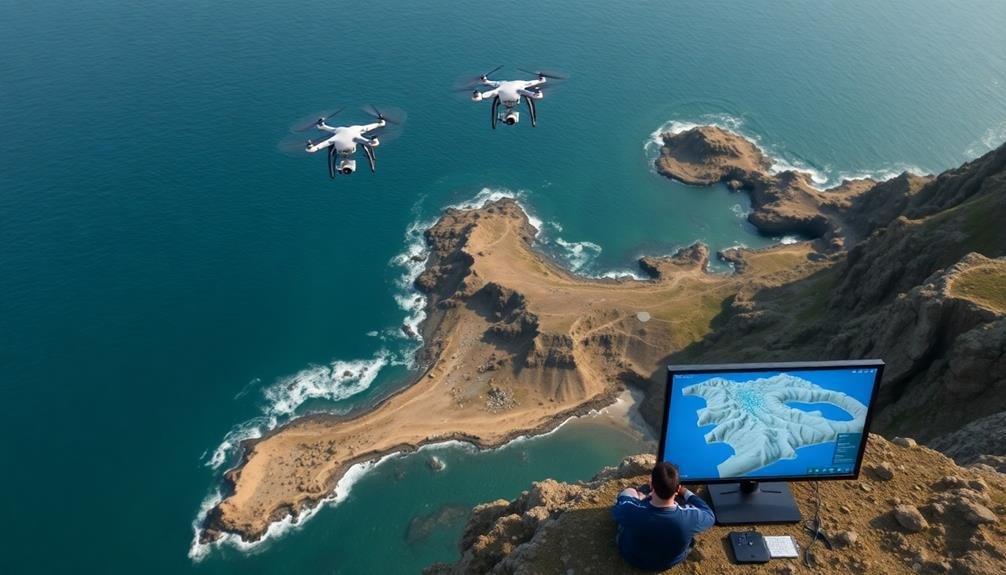
You'll find photogrammetry software invaluable for creating detailed 3D maps from your coastal photos.
These tools can process multiple images to generate accurate terrain models, allowing you to visualize and measure erosion over time.
Familiarize yourself with popular software options like Agisoft Metashape or Pix4D, and learn the techniques for capturing overlapping images that yield the best results.
3D Mapping From Photos
With advancements in technology, creating 3D maps from coastal photos has become more accessible. You can now transform your aerial images into detailed 3D models, providing a thorough view of coastal changes over time.
Start by collecting high-quality photos from various angles and elevations, ensuring sufficient overlap between images. Next, use specialized software to process these photos, aligning them based on common points and generating a dense point cloud.
The software will then create a mesh from this point cloud, adding texture from the original photos to produce a realistic 3D model. You'll be able to measure distances, volumes, and areas directly on this model, offering valuable insights into erosion patterns and rates.
- Witness the power of nature as coastlines transform before your eyes
- Feel the urgency to protect vulnerable coastal ecosystems
- Experience the thrill of uncovering hidden erosion patterns
To enhance accuracy, incorporate ground control points into your model. These are precisely measured reference points that help calibrate your 3D map to real-world coordinates.
Software Tools and Techniques
Implementing photogrammetry software is crucial for turning your coastal photos into accurate 3D models. You'll need to choose a program that suits your needs and skill level. Popular options include Agisoft Metashape, Pix4D, and DroneDeploy. These tools allow you to process your aerial images and create detailed point clouds, digital elevation models, and orthomosaics.
Once you've selected your software, import your geotagged photos and align them. The program will identify common points across images and use these to reconstruct the scene's geometry.
Next, generate a dense point cloud, which represents the 3D structure of the coastline. From this, you can create a mesh to visualize the terrain's surface.
To track erosion over time, you'll need to process multiple datasets from different dates. Use ground control points to guarantee accurate alignment between models.
Many software packages offer change detection tools that can highlight areas of erosion or accretion. You can also export your models to GIS software for further analysis and visualization.
Remember to calibrate your camera and maintain consistent flight patterns for the best results.
Analyze Vegetation Changes
To effectively analyze vegetation changes in coastal erosion tracking, you'll need to identify the specific plant species native to your shoreline area.
Keep a close eye on shifts in vegetation cover over time, documenting any expansions or reductions in plant populations.
You can also evaluate the success of dune stabilization efforts by monitoring the growth and spread of vegetation planted to combat erosion.
Identify Coastal Plant Species
Identifying coastal plant species plays a crucial role in tracking erosion patterns. As you scan aerial images or satellite data, you'll want to recognize key plant types that thrive in different coastal zones. Salt-tolerant species like sea oats, beach grass, and mangroves often indicate stable shorelines, while their absence may signal erosion concerns.
Learn to spot the telltale signs of various coastal plants. Look for the long, slender leaves of sea oats swaying in dune areas, or the distinctive prop roots of mangroves in tropical regions. Beach grass often appears as dense, low-growing mats along the coast. By identifying these species, you'll gain insights into the health and stability of the shoreline.
Don't forget to reflect on seasonal changes in vegetation. Some plants may die back in winter, while others flourish year-round. This knowledge will help you accurately interpret coastal plant patterns over time.
- Witness nature's resilience as plants cling to eroding shores
- Marvel at the intricate ecosystems that form natural barriers
- Feel the urgency to protect these crucial coastal defenders
Monitor Vegetation Cover Changes
In light of coastal erosion tracking, analyzing vegetation changes over time provides essential insights into shoreline stability. You'll want to focus on both the quantity and quality of vegetation cover to accurately assess erosion trends.
To monitor vegetation cover changes, start by establishing fixed observation points along the coastline. Use these locations to take regular photographs or conduct drone surveys. Compare images from different time periods to identify shifts in plant density, distribution, and species composition.
Pay attention to the appearance of bare patches or areas where vegetation is thinning. These could indicate accelerated erosion or changing environmental conditions. Conversely, areas with increasing vegetation might suggest accretion or successful restoration efforts.
Utilize remote sensing techniques, such as satellite imagery or LiDAR, to analyze larger areas efficiently. These tools can help you detect subtle changes in vegetation cover that mightn't be apparent from ground-level observations.
Don't forget to take into account seasonal variations in plant growth when interpreting your data. Natural fluctuations can sometimes be mistaken for long-term trends, so it's vital to collect data over extended periods to distinguish between temporary changes and persistent patterns.
Assess Dune Stabilization Efforts
Many coastal areas rely on dune stabilization efforts to combat erosion, and examining vegetation changes is important for evaluating their effectiveness.
You'll want to focus on the types and density of plants growing on the dunes over time. Look for increases in native grasses, shrubs, and trees that help bind sand and soil together. Pay attention to the spread of root systems, which play a significant role in anchoring dunes.
Compare satellite imagery or aerial photographs from different years to track vegetation coverage. You can use specialized software or online platforms to quantify changes in green areas.
Don't forget to take into account seasonal variations when analyzing data. On-site surveys complement remote observations, allowing you to assess plant health and identify invasive species that might hinder stabilization efforts.
- Witness nature's resilience as once-barren dunes transform into thriving ecosystems
- Feel the satisfaction of seeing your community's hard work pay off in greener, stronger coastlines
- Experience the urgency of protecting these essential natural barriers against rising seas
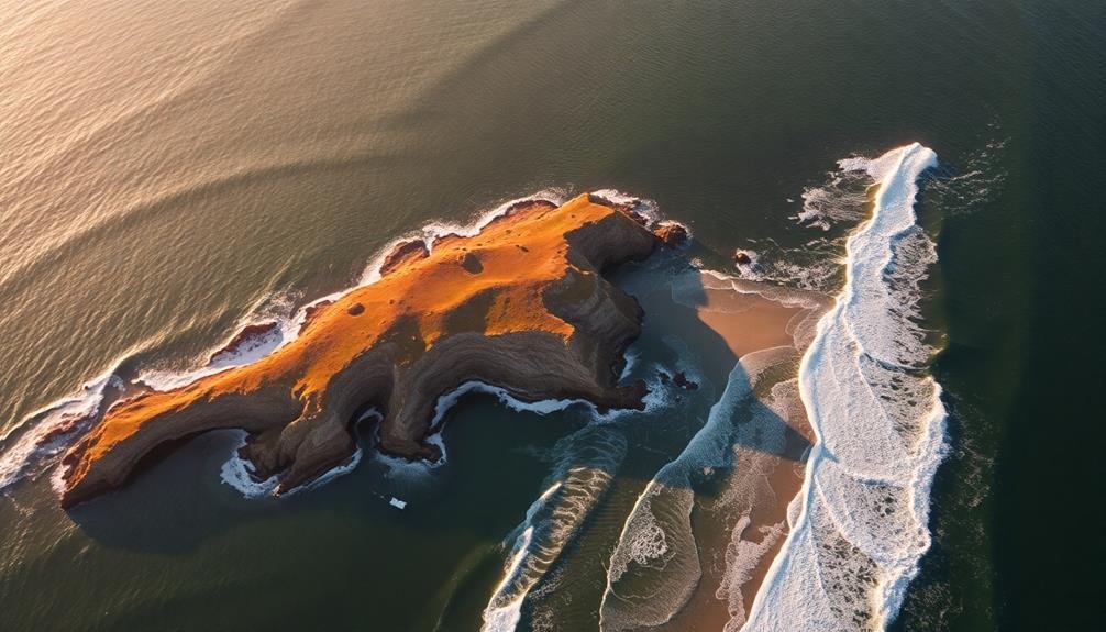
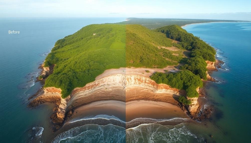
Compare Historical Satellite Imagery

To effectively track coastal erosion, you'll find historical satellite imagery comparison invaluable. This method allows you to visualize changes in coastlines over time, providing concrete evidence of erosion patterns and rates.
Start by accessing satellite imagery databases like Google Earth Engine or NASA's Earth Observing System Data and Information System (EOSDIS).
Select images from different time periods, ideally spanning several decades. Verify you're comparing images taken during similar seasons and tidal conditions for accurate results. Look for clear, high-resolution images that offer detailed views of the coastline.
Once you've gathered your imagery, use GIS software to overlay and align the images precisely.
Focus on key features like shorelines, dunes, and vegetation lines. Measure the distance between these features in different years to quantify erosion rates. Pay attention to areas where erosion is most pronounced and identify any protective structures or natural barriers that may influence erosion patterns.
Don't forget to take into account factors like sea-level rise and extreme weather events when interpreting your findings. By systematically comparing historical satellite imagery, you'll gain valuable insights into long-term coastal erosion trends and hotspots.
Frequently Asked Questions
How Does Weather Affect Coastal Erosion Tracking Using Drones?
Weather greatly influences your drone-based coastal erosion tracking. You'll face challenges with wind, rain, and fog affecting flight stability and visibility. Sunny days are ideal, but you'll need to take into account glare on water surfaces too.
What Legal Permits Are Required for Drone-Based Coastal Erosion Monitoring?
You'll need a remote pilot certificate from the FAA and local permits for drone operations. Check with coastal authorities for specific requirements. Don't forget to obtain property owner permissions if you're flying over private land.
Can Underwater Drones Be Used to Track Coastal Erosion?
Yes, you can use underwater drones to track coastal erosion. They'll help you observe underwater topography changes, sediment movement, and seafloor conditions. You'll get valuable data on erosion processes below the water's surface, complementing above-water monitoring methods.
How Often Should Coastal Erosion Surveys Be Conducted for Accurate Results?
You'll want to conduct coastal erosion surveys at least annually for accurate results. However, if you're monitoring high-risk areas or after major storms, you should increase the frequency to quarterly or even monthly assessments.
What Are the Potential Risks of Using Drones Near Coastal Wildlife?
You'll face risks when using drones near coastal wildlife. They can disturb nesting birds, stress marine mammals, and alter animal behavior. You're also at risk of violating wildlife protection laws if you're not careful with your drone operations.
In Summary
You've now got the tools to track coastal erosion like a pro. With your drone, high-res cameras, and cutting-edge software, you're ready to capture essential data. Don't forget to master time-lapse techniques and analyze vegetation changes. By comparing your findings with historical imagery, you'll gain invaluable insights into shoreline transformations. Keep honing these skills, and you'll play an important role in understanding and protecting our dynamic coastlines.
As educators and advocates for responsible drone use, we’re committed to sharing our knowledge and expertise with aspiring aerial photographers.


Leave a Reply