LiDAR and photogrammetry differ in three key aspects for mapping. First, their data acquisition methods vary: LiDAR uses laser pulses, while photogrammetry relies on overlapping images. Second, they excel in different accuracy areas: LiDAR offers superior vertical accuracy and penetrates vegetation, while photogrammetry provides better horizontal accuracy in ideal conditions. Finally, cost and time considerations diverge: LiDAR equipment is more expensive but offers faster data acquisition, whereas photogrammetry is generally more affordable but may require more processing time. Understanding these differences can help you choose the right technology for your specific mapping needs. Exploring each method's nuances will reveal their full potential in various applications.
Key Takeaways
- LiDAR offers superior vertical accuracy and canopy penetration, while photogrammetry excels in horizontal accuracy.
- LiDAR provides consistent point density, whereas photogrammetry's resolution varies based on camera quality and flight altitude.
- Photogrammetry is generally more affordable, using consumer-grade cameras, while LiDAR requires expensive specialized equipment.
- LiDAR allows faster data acquisition in the field, but photogrammetry may require more time for data processing.
- LiDAR uses active laser pulses for measurement, while photogrammetry relies on passive image capture and stereoscopic analysis.
Data Acquisition Methods
The data acquisition methods for LiDAR and photogrammetry differ greatly in their approach and technology.
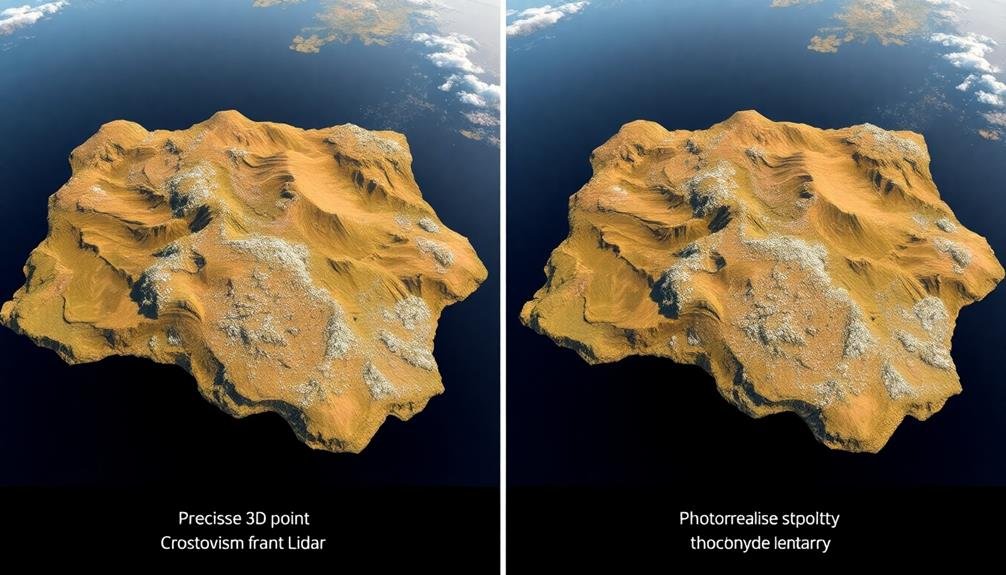
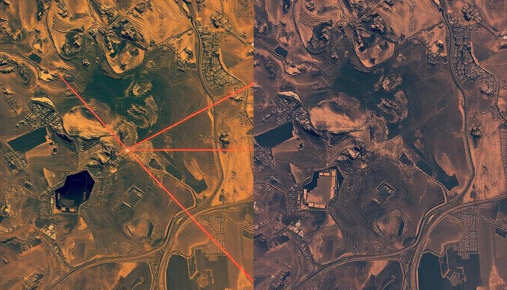
LiDAR uses active remote sensing, emitting laser pulses and measuring the time it takes for them to return. You'll find LiDAR sensors mounted on aircraft, vehicles, or tripods, scanning the environment with rapid laser pulses. These pulses create a dense point cloud, representing the 3D structure of the area.
In contrast, photogrammetry relies on passive remote sensing, capturing overlapping images of an area. You'll typically use cameras mounted on aircraft, drones, or even handheld devices. The key is to guarantee sufficient overlap between images, usually 60-80% forward and 20-40% side overlap. This overlap allows for the creation of stereoscopic pairs, which are essential for 3D reconstruction.
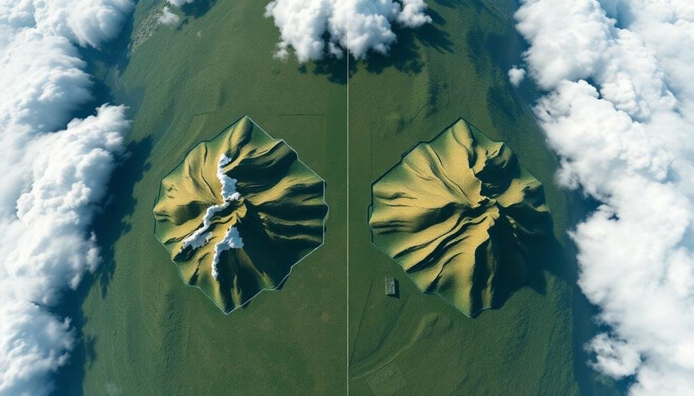
Both methods have their strengths. LiDAR excels in penetrating vegetation and capturing detailed terrain models, even in areas with dense foliage.
Photogrammetry, on the other hand, provides rich color and texture information, making it ideal for creating visually accurate 3D models and orthophotos. Your choice between the two will depend on your specific mapping needs and project requirements.
Accuracy and Resolution Comparison
When comparing the accuracy and resolution of LiDAR and photogrammetry, you'll find distinct advantages and limitations for each method.
LiDAR typically offers higher vertical accuracy, especially in areas with dense vegetation or complex structures. It can penetrate tree canopies and capture ground details that photogrammetry might miss. LiDAR's accuracy often ranges from 5-15 cm vertically and 10-30 cm horizontally.
Photogrammetry excels in horizontal accuracy and can produce highly detailed orthophotos. It's particularly effective for capturing texture and color information. However, its vertical accuracy may be less reliable, especially in areas with limited ground visibility. Photogrammetry's accuracy can range from 1-5 cm horizontally and 5-30 cm vertically, depending on flight altitude and camera quality.
Resolution-wise, LiDAR provides consistent point density across the surveyed area, typically ranging from 1 to 100 points per square meter.
Photogrammetry's resolution depends on the camera's capabilities and flight altitude, potentially offering higher resolution in ideal conditions.
You'll need to evaluate your specific project requirements, terrain characteristics, and desired output when choosing between these technologies for mapping applications.
Cost and Time Considerations
Budgetary constraints often play an essential role in choosing between LiDAR and photogrammetry for mapping projects.
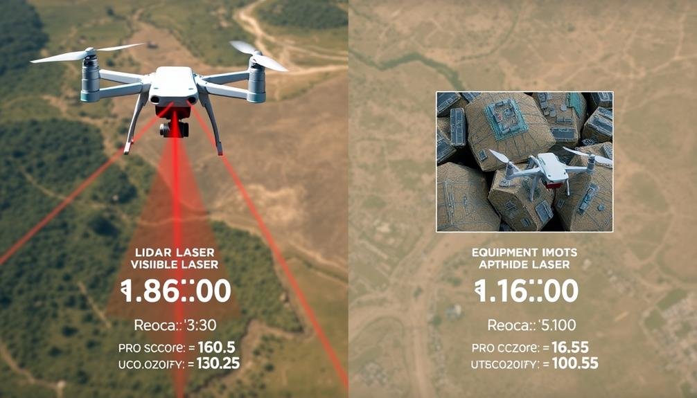
LiDAR typically requires more expensive equipment and specialized expertise, making it costlier upfront. You'll need to invest in high-end LiDAR sensors and compatible software, which can be a considerable expense. However, LiDAR's efficiency in data collection can save time in the long run, especially for large-scale projects.
Photogrammetry, on the other hand, is generally more affordable. You can use consumer-grade cameras or even smartphones for image capture, greatly reducing equipment costs. The software for photogrammetric processing is also typically less expensive than LiDAR software.
However, photogrammetry can be more time-consuming, particularly in the data processing phase. You'll need to capture numerous overlapping images and may spend more time on post-processing to achieve comparable results to LiDAR.
When considering time factors, LiDAR usually offers faster data acquisition in the field. You can cover large areas quickly, especially with airborne LiDAR.
Photogrammetry may require more time on-site to guarantee proper image coverage and overlap. Ultimately, your choice will depend on your project's specific requirements, budget, and timeline.
Frequently Asked Questions
How Do Weather Conditions Affect Lidar and Photogrammetry Performance?
Weather conditions can greatly impact your mapping efforts. You'll find that lidar performs better in low-light and cloudy conditions, while photogrammetry requires clear skies and good lighting. Rain and fog can hinder both technologies' effectiveness.
Can Lidar and Photogrammetry Be Combined for More Comprehensive Mapping Results?
You can combine lidar and photogrammetry for more thorough mapping results. By integrating these technologies, you'll get detailed 3D models with high-resolution imagery. This fusion enhances accuracy, provides richer data, and overcomes limitations of each method individually.
What Are the Data Storage Requirements for Lidar Versus Photogrammetry?
You'll find that LiDAR data typically requires less storage space than photogrammetry. LiDAR produces point clouds, which are relatively compact. Photogrammetry, on the other hand, generates high-resolution images and 3D models, demanding considerably more storage capacity.
How Do Lidar and Photogrammetry Compare in Terms of Vegetation Penetration?
You'll find that LiDAR excels at penetrating vegetation, capturing ground data beneath canopies. Photogrammetry struggles with dense foliage, often only capturing the top layer. For mapping areas with heavy vegetation, LiDAR's typically your better choice.
Are There Any Legal or Privacy Concerns When Using Lidar or Photogrammetry?
You should be aware of legal and privacy concerns when using lidar or photogrammetry. You'll need to take into account data protection laws, property rights, and potential privacy violations. It's essential to obtain necessary permissions and comply with regulations.
In Summary
You've now explored the key differences between LiDAR and photogrammetry for mapping. You've learned how they acquire data, their varying accuracy and resolution, and the cost and time factors involved. As you consider your next mapping project, you'll need to weigh these aspects carefully. Remember, there's no one-size-fits-all solution. Your choice will depend on your specific needs, budget, and desired outcomes. Choose wisely to guarantee you get the best results for your mapping endeavors.
As educators and advocates for responsible drone use, we’re committed to sharing our knowledge and expertise with aspiring aerial photographers.


Leave a Reply